Download
3D Flyover
Add to list
More
1.3 km
~15 min
0 m
Out and Back
“A gentle Upper Delaware riverside ramble, where broad bends, wooded banks, and eagle-haunted skies invite lingering.”
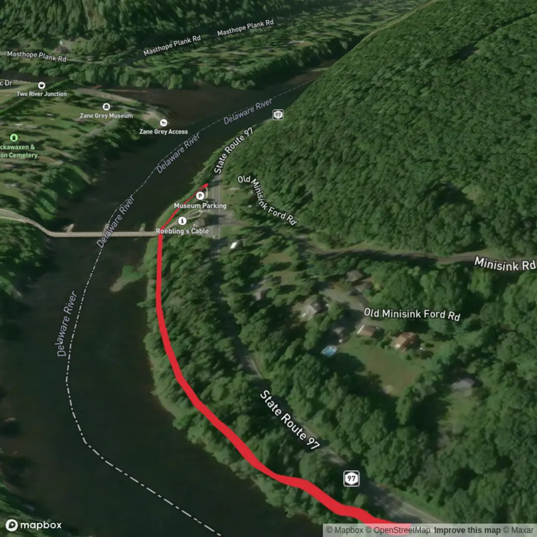
A short, mostly level riverside walk along the Upper Delaware is ideal when you want big-water scenery without committing to a long day. At around 1 km (0.6 mi) with roughly 0 m (0 ft) of climbing, expect an easy out-and-back or small loop depending on where you choose to turn around, with constant views of the river, wooded banks, and frequent opportunities to pause at overlooks, fishing access points, or small gravel bars.
Because your start point is listed only as “near” (and no coordinates were provided), the most practical way to plan this is to pick a well-known, easy-access trailhead along the Upper Delaware Scenic & Recreational River corridor—for example near Narrowsburg, NY / Lackawaxen, PA, Barryville, NY / Shohola, PA, or Port Jervis, NY / Matamoras, PA—then use HiiKER to confirm the exact path, parking, and whether your chosen segment is a footpath, riverside access track, or a short connector to a viewpoint. If you share a lon/lat, I can convert it to the nearest recognizable address or landmark and tailor the route precisely.
Getting to the start (car + public transport)
By car - Aim for a signed public access point, riverside park, or trailhead within the Upper Delaware corridor. Many access points have small pull-offs or lots; arrive early on weekends in warm months when anglers and paddlers fill spaces. - Cell service can be patchy in river valleys—download your route in HiiKER before you arrive.
By public transport - The Upper Delaware is rural, so public transit is limited. The most reliable strategy is to take rail/bus to a larger hub (often Port Jervis, NY is the easiest gateway in the region), then use a local taxi/rideshare where available to reach a nearby river access point. In smaller river towns, rideshare coverage can be inconsistent—plan a backup (pre-book a cab, or arrange a pickup).
What the walk feels like underfoot
With essentially no elevation gain, the main “effort” comes from surface conditions rather than climbing: - Packed dirt and grass near parks and maintained access points. - Gravel and small cobbles closer to the waterline; these can roll underfoot. - Short muddy patches after rain, especially where the bank is low and shaded. - If you choose a segment that follows an old access road or towpath-like corridor, it may be wide and straightforward; if you choose a more natural bank-hugging line, it can narrow with roots and uneven stones.
Plan on a relaxed pace of 15–25 minutes for 1 km (0.6 mi) one-way depending on stops, footing, and how often you linger at the river.
Navigation and where to turn around
For a 1 km (0.6 mi) outing, the simplest plan is: - Walk 0.5 km (0.3 mi) out along the river, then return the same way. - If you find a safe, obvious turnaround—like a signed boundary, a small footbridge, a viewpoint, or a change from maintained tread to rough bank—use that as your endpoint.
Use HiiKER to confirm: - Whether the line you’re following is an official trail vs. informal fisherman paths. - Any short spurs to overlooks or access points that might add distance. - Land ownership boundaries (important along river corridors where public and private parcels can intermix).
Landmarks, scenery, and what to look for
Even on a short walk, the Upper Delaware tends to deliver “big landscape” cues: - Broad river bends where the current slows and you can see long upstream/downstream sightlines. - Forested bluffs and ridgelines framing the valley—especially striking in leaf-off seasons. - Gravel bars and shallow edges that attract wading birds and make good rest spots (stay mindful of sudden drop-offs and slippery algae-coated stones). - Remnants of river-town history: depending on the exact segment, you may notice old stonework, rail grades, or traces of historic river commerce routes that once tied these communities together.
Nature and wildlife (seasonal expectations)
The river corridor is a classic mix of water, edge habitat, and hardwood forest—excellent for wildlife viewing even on a 1 km (0.6 mi) stroll.
Birdlife - Look for bald eagles soaring or perched in tall riverside trees, especially in colder months when visibility is better. - Ospreys are common in warmer seasons near open water. - Along quieter back-eddies, you may spot great blue herons and other waders.
Mammals - White-tailed deer are frequent at dawn/dusk. - Beaver and river otter are possible where banks are quieter and vegetation is thick (tracks and gnawed stems are often easier to find than the animals themselves).
Reptiles/amphibians - In warm weather, expect turtles basking on logs and rocks. - Frogs and salamanders show up near wet margins and seeps.
Insects and plants - In late spring through summer, bring protection for mosquitoes and ticks; river-edge grasses and shrubs can be tick habitat. - Poison ivy can be common along sunny edges—watch for it where the path narrows.
Hazards and practical prep for an easy, flat river walk
Even “easy” river walks have a few consistent watch-outs: - Slippery rocks and algae near the waterline: step carefully if you

Comments and Reviews
User comments, reviews and discussions about the Upper Delaware River, New York.
average rating out of 5
0 rating(s)