Download
3D Preview
Add to list
More
193.8 km
~7 days
1180 m
Multi-Day
The Paumanock Trail is a long-distance footpath that spans approximately 194 kilometers (120 miles) and traverses a variety of landscapes on Long Island, New York. With an elevation gain of around 1100 meters (3600 feet), the trail offers a medium difficulty level, making it accessible to hikers with a moderate level of experience.
Starting Point and Access The trailhead is located near Suffolk County, New York, in the vicinity of Rocky Point Pine Barrens State Forest. For those arriving by car, parking is available near the trailhead. If you're using public transportation, you can take the Long Island Rail Road (LIRR) to the nearest station and then a taxi or a local bus to reach the starting point.
Navigating the Trail To navigate the trail, hikers can use the HiiKER app, which provides detailed maps and GPS coordinates to help keep you on the right path. The trail is marked, but having a digital tool like HiiKER can be invaluable for planning and staying oriented during the hike.
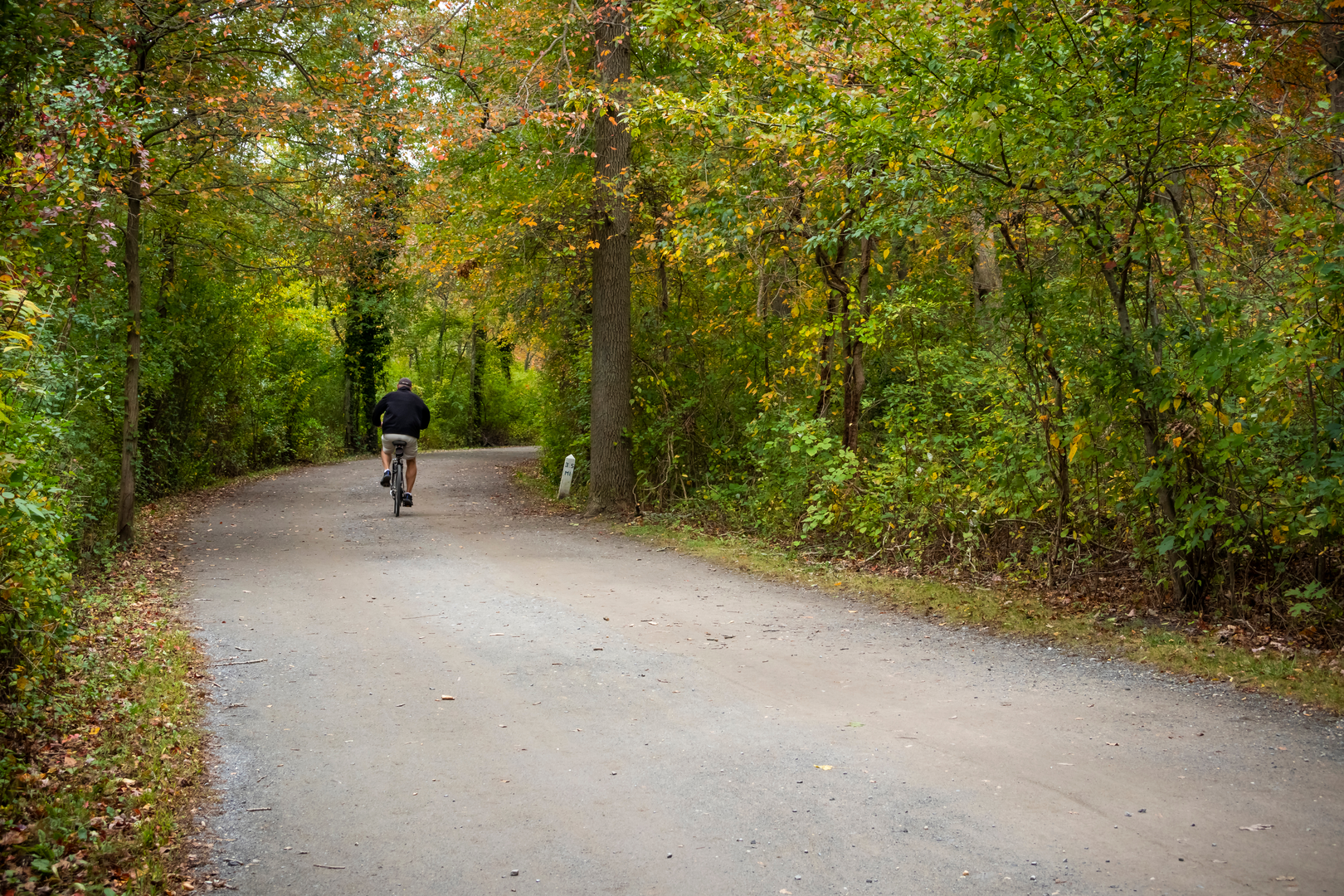
Terrain and Scenery The Paumanock Trail winds through a diverse array of ecosystems, including pine barrens, oak forests, wetlands, and coastal dunes. Hikers will be treated to the natural beauty of Long Island, with opportunities to observe local wildlife such as white-tailed deer, a variety of bird species, and perhaps even the occasional fox.
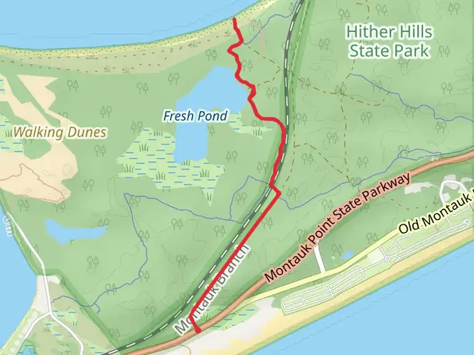
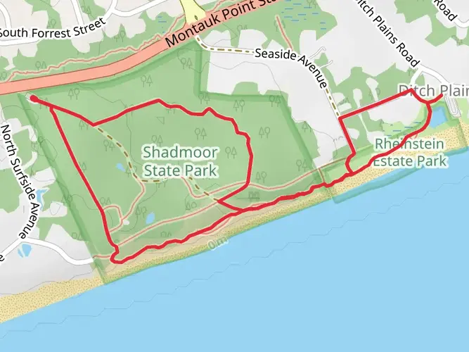
Landmarks and Points of Interest As you progress along the trail, you'll encounter several notable landmarks. One such point of interest is the glacially formed Ronkonkoma Moraine, which provides a unique geological backdrop. Additionally, the trail passes through several state parks and preserves, including Connetquot River State Park Preserve and the Hither Hills State Park, each offering its own unique natural features and opportunities for rest and exploration.
Historical Significance The region through which the Paumanock Trail passes is rich in history. The name "Paumanock" itself is derived from the Native American name for Long Island and means "the island that pays tribute." As you hike, you'll be walking in the footsteps of indigenous peoples, early settlers, and possibly Revolutionary War soldiers, as Long Island saw skirmishes and troop movements during that time.
Preparation and Safety Before embarking on the Paumanock Trail, hikers should prepare adequately by packing sufficient water, food, and appropriate clothing for the season. It's also wise to inform someone of your hiking plans and expected return time. Check the weather forecast in advance and be prepared for changes in conditions, as Long Island's weather can be unpredictable.
Conclusion The Paumanock Trail offers a unique hiking experience that combines natural beauty, wildlife observation, and a touch of history. Whether you're looking for a multi-day adventure or prefer to tackle sections of the trail one at a time, this trail provides a memorable journey through the heart of Long Island's diverse landscapes.

What to expect?
Activity types
Frequently asked questions
How long does it take to hike the Paumanock Trail end to end on Long Island?
The Paumanock Trail is 193.78 km, or about 120 miles, so most end-to-end hikes are done as a multi-day trip rather than in a single push. With only 1,180 m of total climbing and an easy overall rating, the bigger challenge is the distance and the logistics of moving across Suffolk County from the Rocky Point Pine Barrens area toward Montauk.
Where does the Paumanock Trail start and finish?
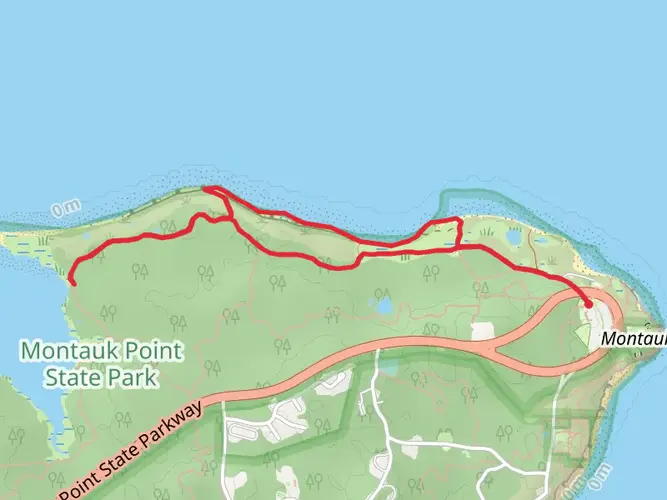
The Paumanock Trail runs west-to-east across Long Island. The western end is in Rocky Point Pine Barrens State Forest, and the eastern end reaches Montauk Downs State Park in Montauk. That makes it one of the longest continuous hiking routes on Long Island, linking inland pine barrens with the far eastern end of Suffolk County.
Is the Paumanock Trail difficult, or is it suitable for newer long-distance hikers?
The Paumanock Trail is rated easy, with 1,180 m of elevation gain spread over 193.78 km. That means it is not especially steep by backpacking standards, but it is still a serious long-distance route because of its 120-mile length. Strong day hikers and newer thru-hikers usually find the terrain manageable if they break it into sections.
Can the Paumanock Trail be hiked in sections instead of as one 194 km route?
Yes. At 193.78 km, the Paumanock Trail is commonly approached as a section hike. New York DEC notes that the Paumanok Path is long enough that most hikers do not attempt the whole route in one trek, and the trail passes through multiple state and county lands, which creates several practical access points for shorter day hikes and weekend segments.
Where can you park for the Paumanock Trail near the western end?
One practical western access area is Rocky Point Pine Barrens State Forest, where DEC lists the Whiskey Road Horse Trail Parking Lot at 40.9082451, -72.9482651. DEC also identifies the Paumanok Path within the forest and notes a Demonstration Forest along the route, making Rocky Point one of the clearest official places to start or join the trail.
Can you reach the Paumanock Trail by train or public transportation?
Public-transit access is possible, but it usually involves combining the Long Island Rail Road with a local ride to a trail access point. The route stretches across Suffolk County to Montauk, and the LIRR serves the island from New York City out to Montauk, which makes section hiking more realistic than a simple out-and-back from one station.
What kind of scenery and terrain does the Paumanock Trail pass through?
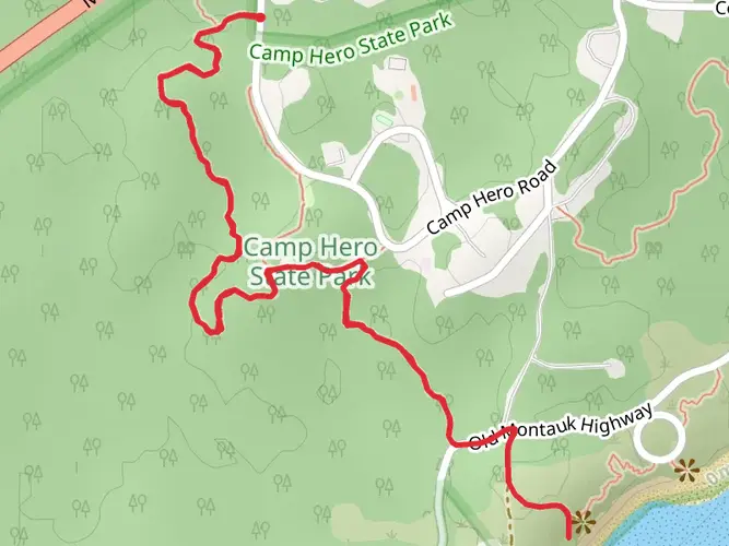
The Paumanock Trail crosses a broad slice of Long Island landscapes, including the pine barrens around Rocky Point and the eastern approach to Montauk. Along the way it links state and county lands, with long wooded stretches, sandy and relatively low-relief terrain, and a finish near Montauk Downs State Park close to the Atlantic-facing end of the island.
Comments and Reviews
User comments, reviews and discussions about the Paumanock Trail, New York.
4.0
average rating out of 5
4 rating(s)