Download
3D Flyover
Add to list
More
1.5 km
~29 min
112 m
Out and Back
“A punchy Finger Lakes gorge wander—waterfalls and wild views, but slick shale demands careful footing.”
This is a short, steep gorge-and-waterfall outing in New York’s Finger Lakes region, tucked inside the NYSDEC Hi Tor Wildlife Management Area just north of the Village of Naples. Even though the distance is only about 2 km (1.2 mi) with roughly 100 m (330 ft) of gain, it earns a “Difficult” feel because footing is often wet, uneven, and slick, and the terrain sits right beside (and sometimes in) a narrow ravine with drop-offs.
Getting to the start (car + public transport reality)
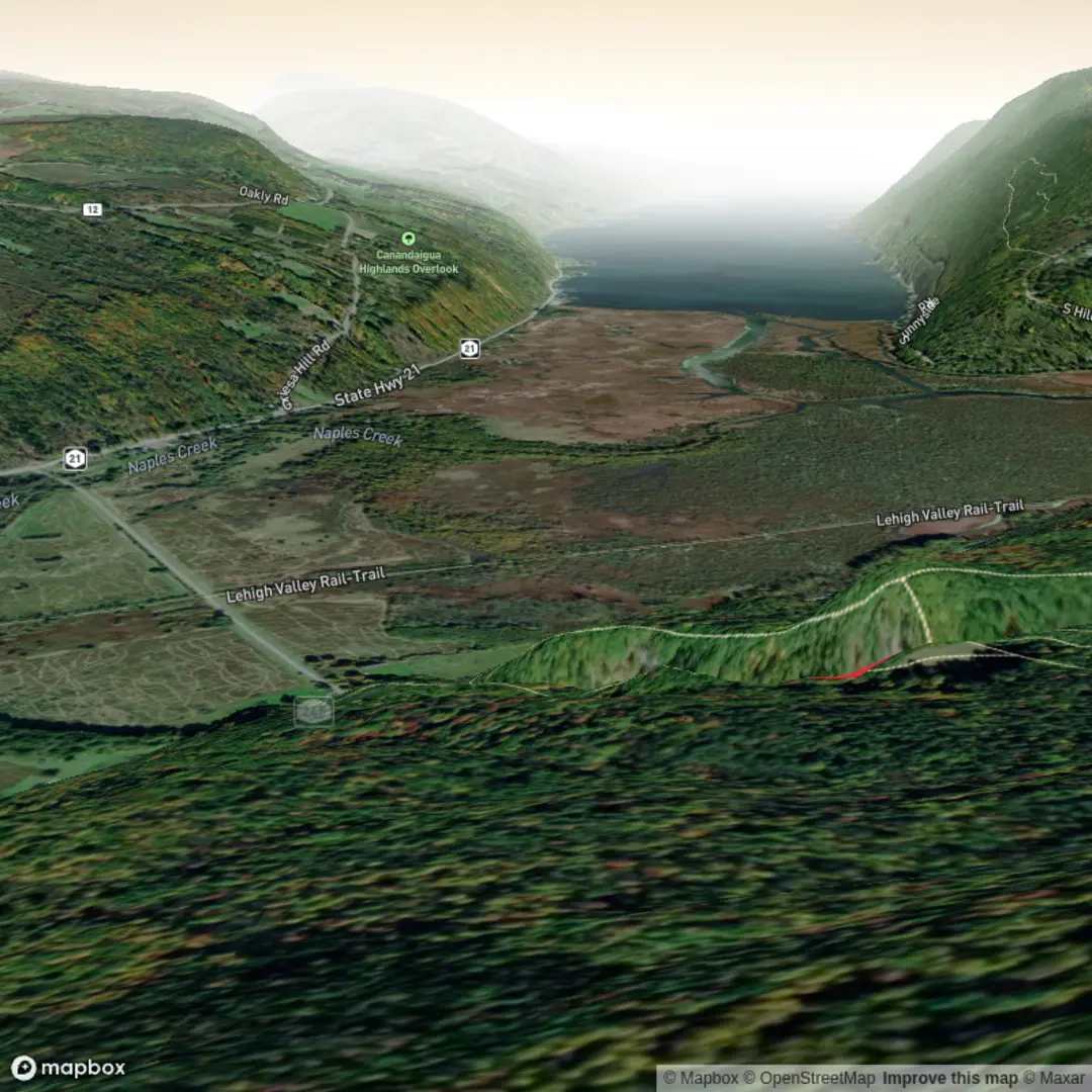
Trailhead / parking landmark: the most reliable “nearest known address” used for navigation is Conklin’s Gully, 4259 Parrish Hill Rd, Naples, NY 14512 (this is commonly associated with the access area). (mapquest.com)
You’ll also see the main pull-off described as a dirt/gravel parking area on County Road/State Route 245, just before Parrish Hill Road (two entrances; if you reach Parrish Hill Rd you’ve gone slightly too far). (nyfalls.com)
By car: From Naples (NY-21), head north and turn onto NY-245; continue to the signed pull-off near Parrish Hill Rd. Parking is free, but limited (often quoted around 10–12 cars), and roadside parking can be tempting—use it only where fully safe and legal. (nyfalls.com)
By public transport: Naples is rural and doesn’t have dependable, frequent public transit to the trailhead. The most workable approach is typically a bus to a larger hub (e.g., Canandaigua/Rochester area) plus a rideshare/taxi for the last miles—plan for limited availability and spotty cell service near the WMA.
What the hike feels like (2 km / 1.2 mi, ~100 m / 330 ft)
From the parking area, you’ll quickly enter mixed hardwood forest and begin gaining elevation almost immediately. Expect the climb to come in short, punchy bursts rather than a gentle grade—this is the kind of trail where 330 ft can feel like more because you’re constantly stepping over roots, edging around muddy patches, and negotiating narrow tread.
A key decision early on is whether you’re doing a rim-style hike (staying on established paths along the gorge edge) or attempting any creek/gully travel. The gully route is widely described as very difficult and involves slippery rock, wet shale, and scrambling; it’s also the kind of terrain where a minor slip can become a serious fall. (nyfalls.com)
For a 2 km plan, most hikers will be best served by keeping it tight: go to one primary overlook/waterfall viewpoint and return the same way.
Waterfalls, overlooks, and the “gully” character
Conklin Gully is known for a concentration of cascades—sources commonly describe multiple large falls plus many smaller steps in the ravine. (nyfalls.com)
One named feature you may hear about is Angel Falls, a tall seasonal runoff cascade that can be easy to miss and may only flow well after rain or snowmelt. (nyfalls.com)
Even when you’re not directly in the creek, the rim routes periodically open to views down into the gorge. Treat every overlook as an exposed ledge environment: stay back from undercut edges, keep kids close, and avoid approaching the rim when leaves, frost, or rain make traction unreliable.
Underfoot hazards and what to look out for
This area’s difficulty is less about distance and more about surface conditions:
- Slippery shale/bedrock: wet rock can be slick like ice, especially in shaded slots of the gorge. (nyfalls.com)
- Rockfall potential: narrow gullies and cliffy walls can shed loose stone—avoid lingering directly below steep faces, particularly after freeze–thaw cycles.

Surfaces
Unknown
Ground
Comments and Reviews
User comments, reviews and discussions about the Conklin Gully Falls, New York.
average rating out of 5
0 rating(s)