Download
3D Flyover
Add to list
More
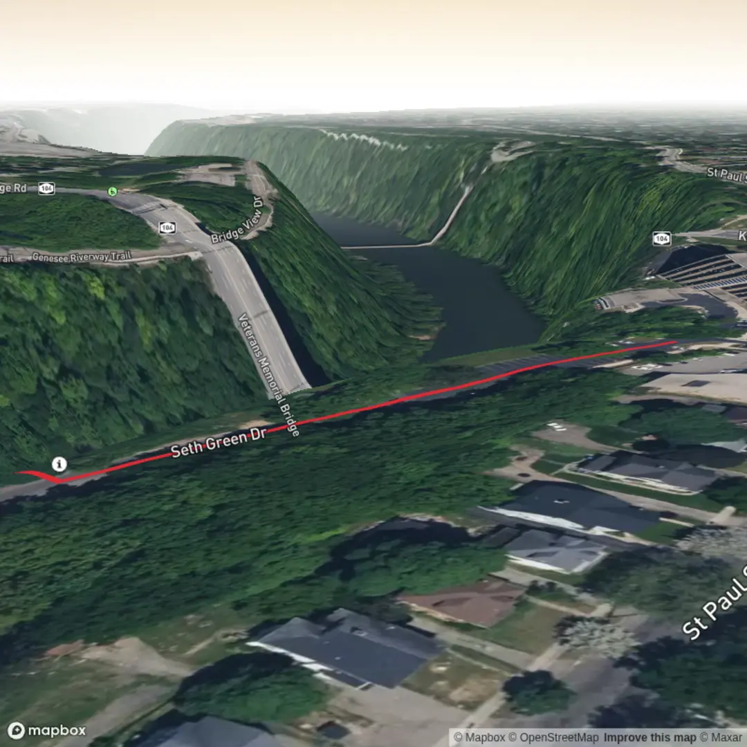
669 m
~10 min
20 m
Out and Back
“A misty, map-lit invitation: share your trailhead clues so Norton’s Falls can be found faithfully.”
I’m missing the key location details needed to describe which “Norton’s Falls” you mean and to convert coordinates to a nearby address/landmark.
Send one of the following and I’ll write the full hike description exactly in the style you requested (with distances in km + miles, elevation in m + ft, landmarks, wildlife, hazards, history, and how to get there by car + public transport, and navigation references to HiiKER only):
1) Start point coordinates (lat, lon) (and if possible the end point too), or
2) The country/state/region (e.g., “near X town, Y state”), or
3) A HiiKER link to the route, or
4) Upload the map image (if you have it).
Also confirm these two blanks from your template:
- “Hike head: near …” (nearest town/park/road)
- “Hike type:” (out-and-back, loop, point-to-point)
Once you share that, I’ll include the nearest known address or significant landmark to the trailhead (instead of raw coordinates) and build the 1 km / ~0 m gain plan around the correct place.

Comments and Reviews
User comments, reviews and discussions about the Norton's Falls, New York.
average rating out of 5
0 rating(s)