Download
3D Flyover
Add to list
More
380 m
~5 min
14 m
Out and Back
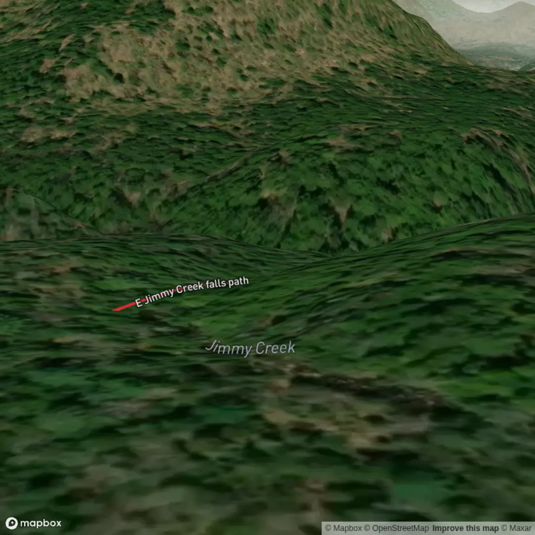
“A short wander to Jimmy Creek Falls—cool mist, mossy greens, and slick rocks inviting mindful steps.”
This is a very short, mostly viewpoint-style walk to Jimmy Creek Falls rather than a full “hike” in the usual sense. With an estimated distance of ~0 km (~0 mi) and ~0 m (~0 ft) of elevation gain, plan for a brief, potentially uneven approach from wherever you’re able to park or step off the road/trailhead area—then spend most of your time enjoying the falls and the creek corridor.
Because your hike details don’t include coordinates (lon/lat) or a specific town/park, I can’t reliably convert the start point to the nearest known address or landmark yet. If you share a pin (or even the nearest town/state), I can translate it into the closest recognized trailhead/road access and tailor the directions and hazards to that exact spot.
Getting to the start (car + public transport)
By car: Expect the practical “start” to be whatever pullout, small parking area, or signed access point is closest to Jimmy Creek Falls. In many waterfall access areas, parking can be limited and informal—arrive early on weekends, and don’t block gates or narrow shoulders. If the access is on a forest road, check whether it’s passable for low-clearance vehicles after rain (potholes, washboarding, and soft edges are common).
By public transport: Waterfall access points are often outside transit coverage. The most realistic transit plan is usually: - bus/train to the nearest town, then - rideshare/taxi to the closest road access, then - a short walk to the falls. If you tell me the nearest town/region, I can suggest the most likely transit hub and the last-mile approach.
What the path is like underfoot
Even on a “near-zero distance” outing, the footing can be the crux. Waterfall approaches commonly involve: - slick rock and polished roots near the spray zone, - muddy, churned tread if the area is popular, - short, steep micro-slopes down to the creek edge (not enough to register as elevation gain overall, but enough to cause slips), - narrow side paths where people have braided the trail looking for better views.
Wear shoes with reliable wet traction. If you bring trekking poles, they help most on the last few meters near the creek where the ground is damp and uneven.
Landmarks and what to look for
The main landmark is the falls themselves, typically with: - a plunge pool or splash basin at the base (depth and current can be deceptive), - a spray zone that keeps nearby rocks perpetually slick, - a creek corridor with denser vegetation and cooler air—often noticeably different from the surrounding forest.
If there are multiple viewpoints, the safest and most stable one is usually the one that’s slightly back from the lip and not right on the creek edge. Avoid social trails that drop straight down loose soil to the waterline—those are the ones that erode fastest and fail unexpectedly.
Waterfall safety (the big “medium” factor)
Even when the walk is short, waterfalls raise the risk level: - Undercut edges: Banks near falls can be hollowed out by water; what looks like solid ground can collapse. - Slippery algae film: Dark, wet rock can be coated in algae—extremely slick even in dry weather. - Sudden flow changes: If there’s any upstream dam release or heavy rain, water levels can rise quickly. - Cold water + current: A shallow-looking pool can have strong circulation near the base of a fall.
Keep a conservative buffer from the edge, especially if you’re taking photos.
Nature, wildlife, and seasonal conditions
Waterfall microclimates support moisture-loving plants—expect mosses, ferns, and dense creekside growth. Wildlife varies by region, but common patterns around falls include: - Bird activity concentrated along the creek (insects + water), - Amphibians in damp leaf litter and shaded seeps, - Biting insects in warm months, especially near still water pockets.
Seasonally: - Spring/early summer often has the best flow and the slickest rocks. - Late summer/fall may have lower flow, but more exposed rock and loose gravel. - Winter can introduce ice in the spray zone even when nearby trails are clear.
Navigation and planning (keep it simple)
For a short access path, navigation is usually about finding the correct spur and avoiding unsafe social trails. Use HiiKER to confirm: - the correct access point/trailhead, - whether there are multiple spurs to different viewpoints, - any nearby connecting trails if you want to extend the outing beyond the falls.
Historical significance (region-dependent)
Many waterfall areas sit within landscapes shaped by long-term Indigenous stewardship, later logging/mining/rail or road development, and modern conservation/recreation use. The specific historical context for Jimmy Creek Falls depends heavily on which Jimmy Creek this is (there are often multiple creeks with the same name across different states/provinces). If you share the nearest town/state or coordinates, I can give accurate, location-specific history (e.g., local Indigenous nations, historic land use, and how the area became protected or publicly accessible).

Surfaces
Ground
Unknown
Comments and Reviews
User comments, reviews and discussions about the E Jimmy Creek Falls Path, New York.
average rating out of 5
0 rating(s)