Download
3D Flyover
Add to list
More
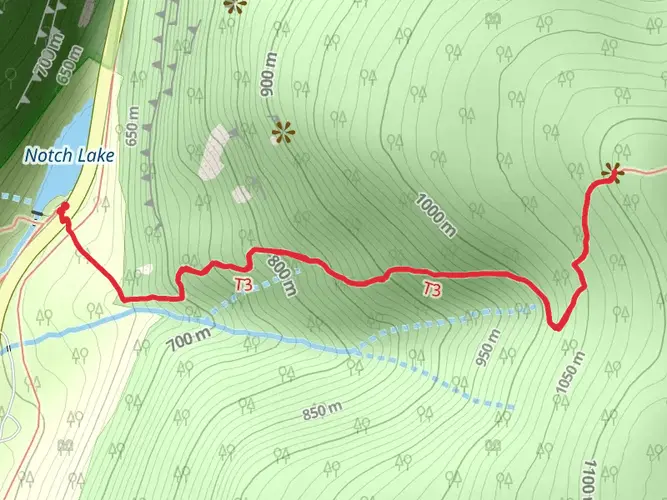
4.8 km
~1 hrs 45 min
480 m
Out and Back
“Trek Sugarloaf Mountain's Devil's Path for a historic, wildlife-rich ascent to breathtaking Catskill vistas.”
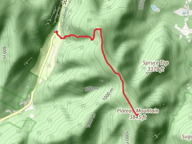
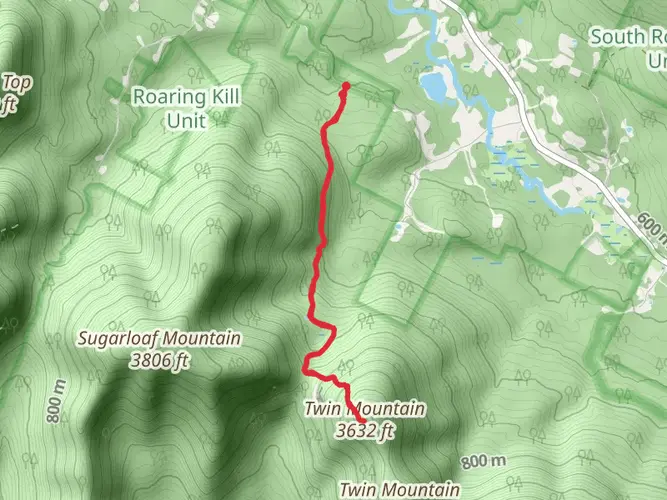
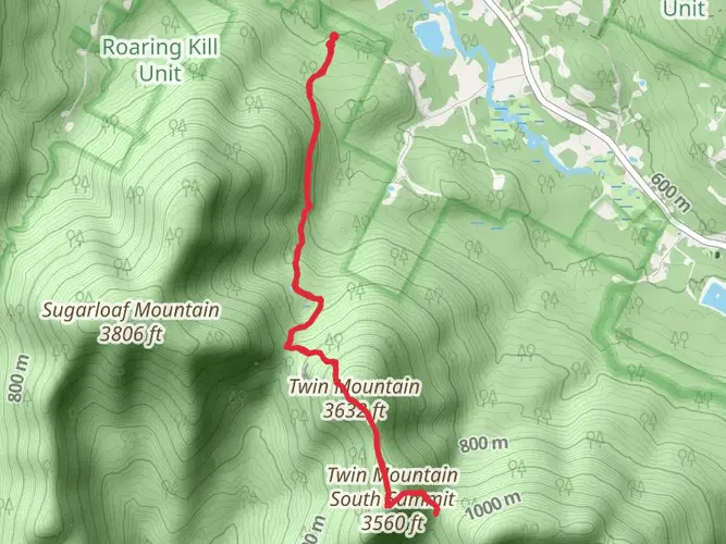
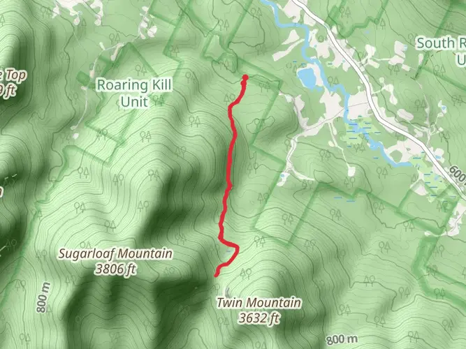
Embarking on the Sugarloaf Mountain via Devil's Path hike, you'll find yourself on a journey through the rugged terrain of the Catskill Mountains. This approximately 5 km (3.1 miles) out-and-back trail, with an elevation gain of around 400 meters (1312 feet), offers a moderately challenging trek suitable for those with some hiking experience.
Getting to the Trailhead The trailhead is located near Greene County, New York. If you're driving, you can navigate to the Roaring Kill Parking Area, which is the closest landmark to the starting point. For those opting for public transportation, the nearest bus stops are in the towns of Palenville or Tannersville, from which you would need to arrange a taxi or a ride to the trailhead.
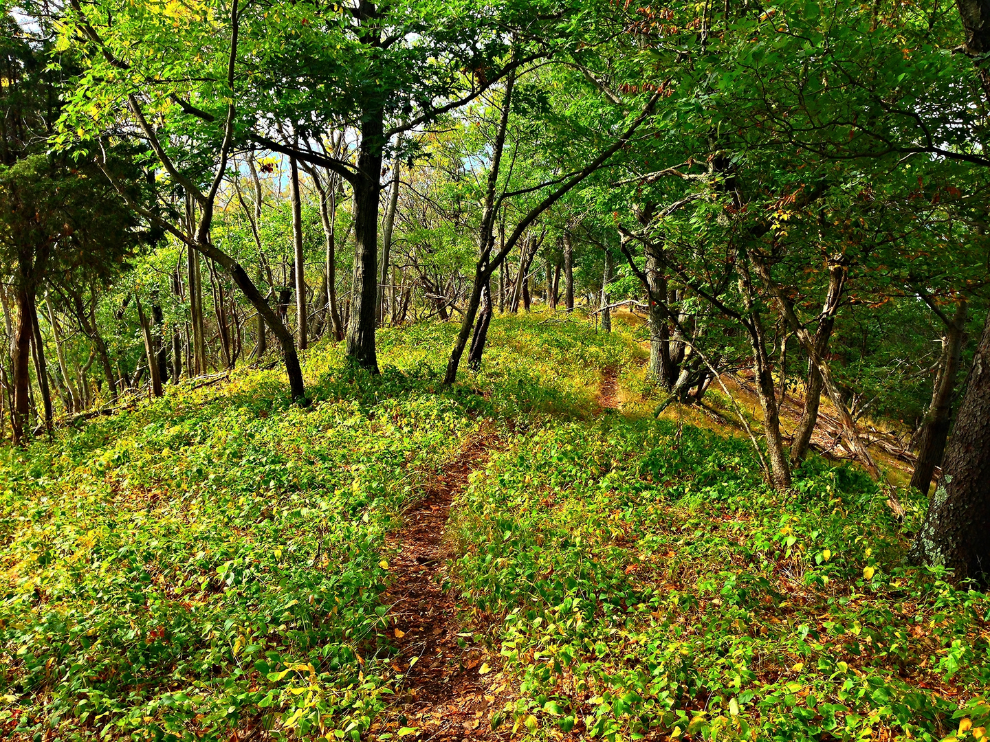
The Hike Itself As you begin your ascent from the trailhead, the path will take you through a dense hardwood forest, where the canopy of leaves provides a serene backdrop. The first section of the trail is a steady climb, and you'll notice the terrain is a mix of rocky paths and dirt trails, with roots crisscrossing the path.
After about 1.5 km (0.9 miles), you'll encounter a series of switchbacks that will test your endurance. It's important to have sturdy footwear to navigate the uneven ground. As you gain elevation, take a moment to enjoy the increasingly expansive views of the surrounding Catskill Park.
Historical Significance The Devil's Path is steeped in history, named for the harsh and unforgiving terrain that early settlers had to navigate. It's said that the path was so treacherous it could only have been created by the devil himself. As you hike, consider the legacy of those who traversed these mountains long before it became a recreational trail.
Flora and Fauna Throughout the hike, you'll be surrounded by a rich variety of plant life, including maple, birch, and hemlock trees. During the spring and summer months, the understory is dotted with wildflowers. Wildlife is abundant, with chances to spot deer, squirrels, and a variety of bird species. Always keep a respectful distance from any animals you encounter.
Reaching the Summit The final push to the summit of Sugarloaf Mountain is the most challenging part of the hike, with some steep and rocky sections. As you approach the summit, the trees begin to thin out, and you are rewarded with stunning panoramic views of the Catskill Mountains.
Navigation For navigation purposes, HiiKER is an excellent tool to use on this trail. It will help you stay on track and provide real-time updates on your progress. Make sure your device is fully charged before you set out, and consider bringing a portable charger as a backup.
Preparation and Safety Before you set out, ensure you have enough water, snacks, and appropriate clothing for changing weather conditions. The weather in the Catskills can be unpredictable, so it's best to be prepared for anything. Also, let someone know your hiking plans and expected return time.
Remember, this trail can be quite demanding, so it's important to assess your fitness level and hiking experience before attempting the hike. Take breaks as needed, and always practice Leave No Trace principles to preserve the beauty of the trail for future hikers.

What to expect?
Activity types
Comments and Reviews
User comments, reviews and discussions about the Sugarloaf Mountain via Devil's Path, New York.
4.56
average rating out of 5
9 rating(s)