Download
3D Flyover
Add to list
More
21.8 km
~6 hrs 5 min
1039 m
Out and Back
“Wind-swept Taconic ridgelines stitch Alander to Bruce, where rolling re-climbs reward prepared hikers with layered vistas.”
A big, ridge-and-summit day in the South Taconic Range that links two classic viewpoints—Alander Mountain and Bruce Mountain—via long stretches of open ridgeline, mixed hardwood forest, and a few steeper pitches that add up over the full loop/out-and-back style. At roughly 22 km / 13.7 mi with about 1,000 m / 3,280 ft of gain, it’s a “medium” effort for strong walkers, but it can feel harder in wind, heat, or winter conditions because the ridge is exposed and the climbs come in multiple waves rather than one continuous ascent.
Getting to the trailhead (car + public transport)
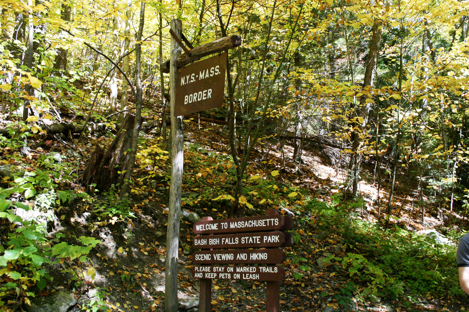
Because the start point you provided is incomplete (“near …”), the most common and practical access for this route is from the Mount Washington State Forest / South Taconic Trail area near Mount Washington, Massachusetts, close to the MA–CT–NY tri-state corner. A widely used jumping-off point for South Taconic routes to Alander is the Mount Washington State Forest trailhead area off East Street (MA-41 vicinity), which puts you quickly onto the South Taconic Trail corridor.
- By car: Aim for Mount Washington State Forest access points along East Street / MA-41 area (Mount Washington, MA). From there, you’ll connect to the South Taconic Trail and work south along the ridge toward Alander and Bruce. Parking is typically roadside/trailhead style—arrive early on weekends and during fall foliage.
- By public transport: Public transit is limited in this corner of MA/CT/NY. The most workable approach is:
- Take intercity rail/bus to Great Barrington, MA (regional hub), then use a taxi/rideshare to the Mount Washington trail access area (service can be spotty—pre-book if possible).
- Alternatively, reach Wassaic, NY (Metro-North Harlem Line) and arrange a ride to the Taconic trail access points; this is farther and still requires a car service for the last leg.
If you share the exact lon/lat (or the intended parking lot name), I can pin it to the nearest address/landmark and tailor the directions precisely.
Route character and pacing (what the day feels like)
Expect a steady rhythm: forest climbs → ridge walking → short, punchy re-climbs. Underfoot is typical Taconic terrain—leaf litter over rock, roots, and occasional wet sections in saddles. The ridge can be breezy and cooler than the valleys; in shoulder seasons it’s common to start in calm air and hit strong wind higher up.
A sensible way to think about the effort: - First half: most of the “earning” (a sustained climb to the ridge and Alander area). - Middle miles: rolling ridge travel with intermittent steep bits. - Final third: fatigue-management—descents that can be slick on wet leaves and re-climbs that feel bigger than they look on paper.
Use HiiKER to confirm junctions and keep an eye on the spacing between reliable water sources—this ridge system has stretches where you’ll be dry unless you detour.
Key climbs, landmarks, and viewpoints
Distances below are approximate and will vary slightly depending on the exact trailhead and whether you take short spur paths to viewpoints.
0–5 km / 0–3.1 mi (warm-up into the woods, building elevation)
You’ll start with moderate grades through mixed forest—oak, maple, birch—with the trail often narrowing into classic singletrack. Early on, the route is usually well-defined, but leaf cover can hide rocks and roots. This is where you want to settle into a sustainable pace; the day is long enough that going too hard early will show up later on the ridge.
5–11 km / 3.1–6.8 mi (ridge access + Alander Mountain area)
As you gain height, the forest thins in places and the footing becomes rockier. Approaching Alander Mountain, you’ll typically encounter:
- Rock ledges and partial openings that hint at the bigger views to come.
- A more “mountain” feel—cooler air, more wind, and quicker weather changes.
Alander is known for broad, scenic outlooks over the Taconic landscape—on clear days you can pick out layers of ridges and valleys across MA/CT/NY. If conditions are windy, these open spots can be dramatically colder than the approach trail.
11–16 km / 6.8–10 mi (South Taconic ridgeline travel)
This is the heart of the hike: long ridge walking with rolling ups and downs. The trail alternates between:
- Open or semi-open ledges (excellent visibility, but exposed to sun and wind)
- Sheltered forest corridors (more humid in summer; icy patches can linger in winter)
Watch for short, steep rock steps—nothing technical in dry conditions, but they can be slick after rain or when covered in wet leaves.
16–22 km / 10–13.7 mi (Bruce Mountain + return/finish)
The approach to Bruce Mountain often feels like a final “bonus climb.” The payoff is another strong viewpoint, typically a bit quieter than the most popular lookouts. After Bruce, the route trends back toward your starting area with a mix of descending and rolling terrain. Descents here can be deceptively tiring: knees and ankles take a beating on uneven rock, and tired feet are more prone to slips.
Nature, wildlife, and seasonal conditions
This section of the Taconic Range is classic northeastern upland habitat: - Hardwood forest: oak

Surfaces
Ground
Unknown
Comments and Reviews
User comments, reviews and discussions about the Alander Mountain and Brace Mountain via South Taconic Trail, New York.
average rating out of 5
0 rating(s)