Download
3D Flyover
Add to list
More
2.4 km
~31 min
34 m
Loop
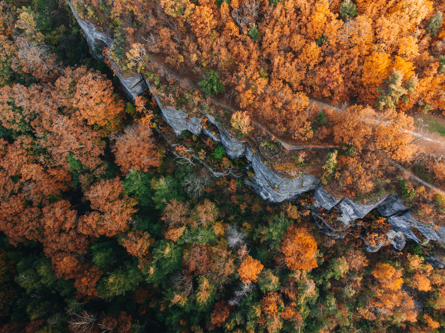
“A quick forest saunter to a misty waterfall—easy-going, yet slippery rocks demand mindful steps.”
This is a short, low-commitment waterfall walk—about 2 km (1.2 mi) total—with negligible elevation gain (≈0 m / 0 ft overall), so it’s well-suited to families, casual walkers, and anyone looking for a quick nature stop. Even though the stats read “easy,” expect a few spots where footing and spray can make it feel more serious for a moment.
Getting to the trailhead (car + public transport)
Because the hike details you provided cut off at “Hike head: near …”, I don’t yet have the exact start coordinates or the intended parking area to convert into a nearest address/landmark. If you paste the lon/lat (or a HiiKER link), I can pin it to the closest recognized trailhead/road access and tailor directions precisely.
In the meantime, “Indian Ladder Trail” and “Minelot Falls” are names used in multiple regions, so use HiiKER to confirm the correct trailhead and the access road before you drive. Once you’ve confirmed the start point: - By car: plan for a small pull-in/lot typical of short waterfall trails; arrive early on weekends because these spots fill quickly. - By public transport: most waterfall trailheads are not directly served; the usual approach is bus/train to the nearest town, then a taxi/rideshare to the trailhead. If you share the nearest town (or coordinates), I’ll outline the most realistic transit chain.
What the route feels like (distance, surfaces, and pacing)
For a 2 km (1.2 mi) out-and-back or small loop, most hikers will take 30–60 minutes depending on how long you linger at the falls and how careful you are on wet rock.
Expect a mix of: - Packed dirt and leaf litter (can be slick when damp) - Short rocky sections near the watercourse - Roots and small steps where the trail pinches around trees or boulders
Even with ~0 m / 0 ft net gain, you may still encounter minor undulations—little dips into drainage lines and short rises back out—so watch your footing rather than relying on the “flat” rating.
Landmarks and what to watch for
The main draw is the waterfall itself, and the trail typically “tightens up” as you approach it—more moisture, more moss, and more polished rock.
Key moments to anticipate: - Trailhead to forest edge (first ~0.3–0.6 km / 0.2–0.4 mi): usually the widest, easiest walking. This is where you’ll confirm you’re on the correct path using HiiKER before the trail network gets more confusing. - Approach to the falls (~0.6–1.0 km / 0.4–0.6 mi): you’ll often start hearing water before you see it. This is where mud and slick roots become more common. - Falls viewpoint / base area: expect spray and wet stone. The most common incident on short waterfall hikes is a slip right at the “reward” spot—people relax, step onto algae-dark rock, and lose traction.
If there are informal side paths near the falls (social trails), treat them cautiously: they can be steep, undercut, and eroded even when the main route is easy.
Nature, wildlife, and seasonal conditions
Waterfall corridors tend to create a cool, damp microclimate: - Mosses, ferns, and moisture-loving plants are common close to the water. - In warmer months, expect insects (especially near still pools); bring repellent if you’re sensitive. - Wildlife is often subtle on short hikes—more likely songbirds and small mammals than large animals—but you can still encounter snakes sunning on warm rock or amphibians near wet ground. Give them space and watch where you place hands/feet around rocks and logs.
Seasonal notes: - After rain: the falls are more dramatic, but the trail is at its slickest. Footwear with real tread matters more than distance. - Autumn: leaf cover can hide roots and rocks—easy trails trip people when hazards are camouflaged. - Winter/shoulder seasons: shaded waterfall gullies can hold ice long after nearby roads thaw. Microspikes can be the difference between “easy” and “sketchy.”
Navigation and safety (keep it easy)
Even on a short route, it’s worth treating navigation as part of the plan: - Download the route in HiiKER before you lose signal. - At any junctions, confirm you’re still on the Indian Ladder alignment rather than following a more worn-looking social path toward the sound of water.
Practical prep for a 2 km (1.2 mi) easy waterfall walk: - Footwear: trail shoes or hikers with grip; avoid smooth-soled sneakers if it’s damp. - Layers: waterfall areas can feel cooler; a light shell helps with spray and wind. - Time buffer: add 15–20 minutes for photos and careful movement near the falls.
Historical significance (what’s likely relevant)
Without the exact region pinned down, I can’t responsibly attach specific local history to “Minelot Falls” or “Indian Ladder Trail” (these names can refer to different places). That said, “Indian Ladder” trail names in North America often reflect: - Historic foot routes along cliffs, ledges, or escarpments where a “ladder” (sometimes literal, sometimes a steep scramble) provided access between

Surfaces
Unknown
Ground
Grass
Comments and Reviews
User comments, reviews and discussions about the Minelot Falls via Indian Ladder Trail, New York.
average rating out of 5
0 rating(s)