Download
3D Flyover
Add to list
More
46.3 km
~2 days
1928 m
Multi-Day
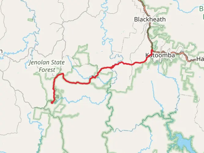
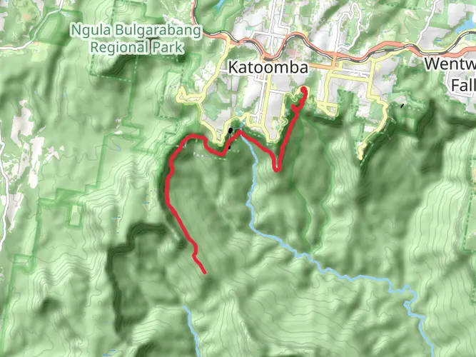
The Kanangra to Katoomba Trail is a 46.3 km trail that starts in Blue Mountains National Park, Wollondilly, New South Wales. Based on our data, the hike is graded as Difficult. For information on how we grade trails, please read measuring the difficulty of a hiking trail on hiiker. Also, check our latest community posts for trail updates. This hike can be completed in approx 2 days. Caution is advised on trail times as this depends on multiple variables. For more info read about how we calculate hike time.

What to expect?
Activity types
Frequently asked questions
How long does the Kanangra to Katoomba Trail take to hike?
The Kanangra to Katoomba Trail is 46.28 km with 1,928 m of climbing, so it is usually treated as a multi-day wilderness route rather than a long day hike. A common schedule is 2 to 3 days, with many parties breaking it around the Coxs River or Mount Solitary section because the terrain is remote, steep, and demanding.
Where does the Kanangra to Katoomba Trail start and finish?
The Kanangra to Katoomba Trail starts at Kanangra Walls in Kanangra-Boyd National Park and finishes in Katoomba in the Blue Mountains. The classic line links the Kanangra plateau and Mount Cloudmaker area with the Coxs River, the Wild Dog Mountains, and the final approach toward Narrow Neck and Katoomba.
Is the Kanangra to Katoomba Trail difficult?
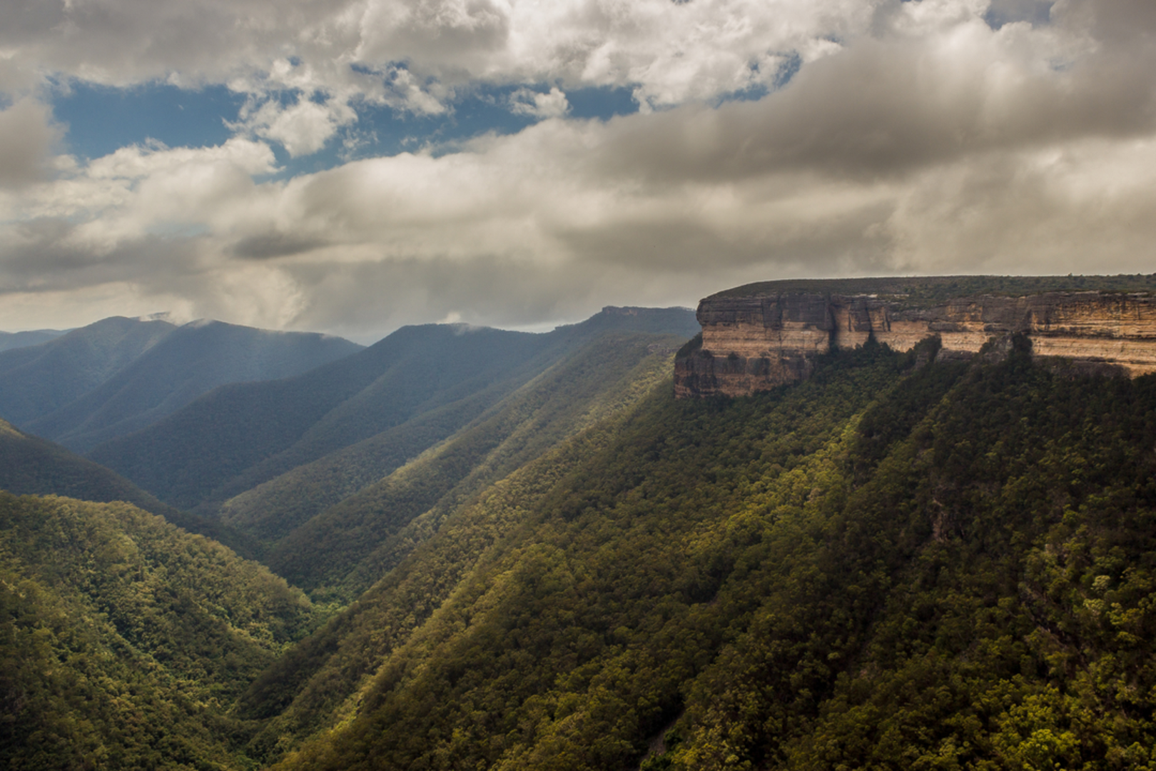
Yes. The Kanangra to Katoomba Trail is rated difficult, and the numbers explain why: 46.28 km in length with 1,928 m of ascent. It is a remote, multi-day Blue Mountains crossing with steep ridges, long descents and climbs, and sections where strong navigation and backcountry experience are important.
Can dogs go on the Kanangra to Katoomba Trail?
No. The Kanangra to Katoomba Trail runs through Kanangra-Boyd National Park and Blue Mountains National Park, and dogs are not permitted in NSW national parks. That restriction applies even if a dog stays on leash, so this is not a dog-friendly route.
Is there public transport for the Kanangra to Katoomba Trail?
Public transport works best at the Katoomba end. Katoomba Station is on the Blue Mountains Line, with regular train connections from Sydney, but Kanangra Walls does not have equivalent rail access and usually requires a private car shuttle or pickup. That makes through-hike logistics much easier if transport is arranged in advance.
What are the main landmarks on the Kanangra to Katoomba Trail?
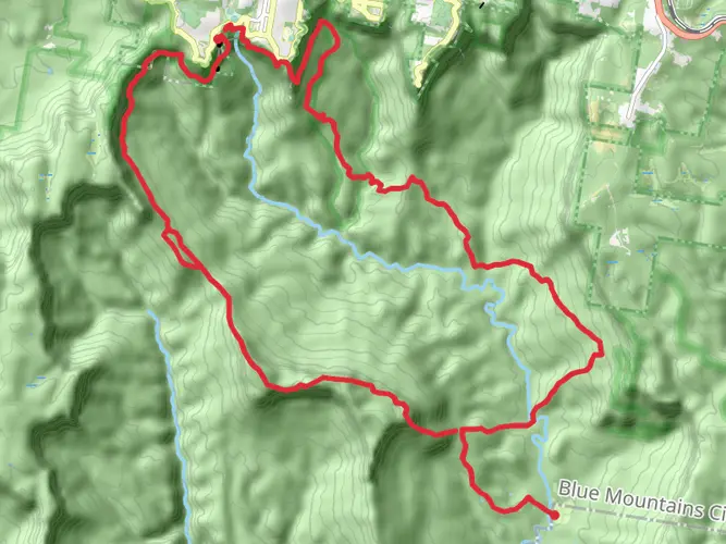
The best-known landmarks on the Kanangra to Katoomba Trail include Kanangra Walls, Mount Cloudmaker, the Coxs River crossing, Mount Solitary, and the final Blue Mountains escarpment near Katoomba. The route is known for linking the Kanangra-Boyd wilderness with the Jamison Valley side of the Blue Mountains in one continuous traverse.
Is the Kanangra to Katoomba Trail suitable for beginners or kids?
The Kanangra to Katoomba Trail is not generally considered a beginner or family trail. At 46.28 km with 1,928 m of elevation gain and a difficult rating, it is better suited to experienced hikers who are comfortable with multi-day packs, remote terrain, and long sections between easy exit points.
Comments and Reviews
User comments, reviews and discussions about the Kanangra to Katoomba Trail, New South Wales.
average rating out of 5
0 rating(s)