Download
3D Flyover
Add to list
More
4.7 km
~1 hrs 4 min
79 m
Loop
“Chasing the right Laurel Ridge Loop, we’ll map a tailored ramble—views, quirks, and cautions included.”
I’m missing a few key specifics to describe the right “Laurel Ridge Loop” (there are multiple trails with that name in different states), and your start location line is incomplete (“Hike head: near …”). If you paste the trailhead coordinates (lon/lat) or a HiiKER link, I’ll convert them to the nearest known address/landmark and tailor everything (route direction, landmarks, access roads, transit options, seasonal hazards, and any local history).
Send any of the following (one is enough): - Trailhead coordinates (lat, lon) for the start/parking - A HiiKER trail link - The nearest town/park/forest name (and state)
If you already know them, also tell me: - Loop direction preference (clockwise/counterclockwise) or “either” - Surface (mostly dirt, gravel, boardwalk, paved?) if you noticed it - Any closures/permits you’ve heard about
Once I have the location, I’ll write the full hike description for ~5 km / ~3.1 mi with ~100 m / ~330 ft gain, including: - turn-by-turn expectations with distance/elevation checkpoints, - notable viewpoints/creeks/ridges, - likely wildlife and plants for that region, - what to watch for (mud, ticks, snakes, blowdowns, stream crossings), - and how to reach the trailhead by car and public transport (where feasible), using HiiKER for navigation references.

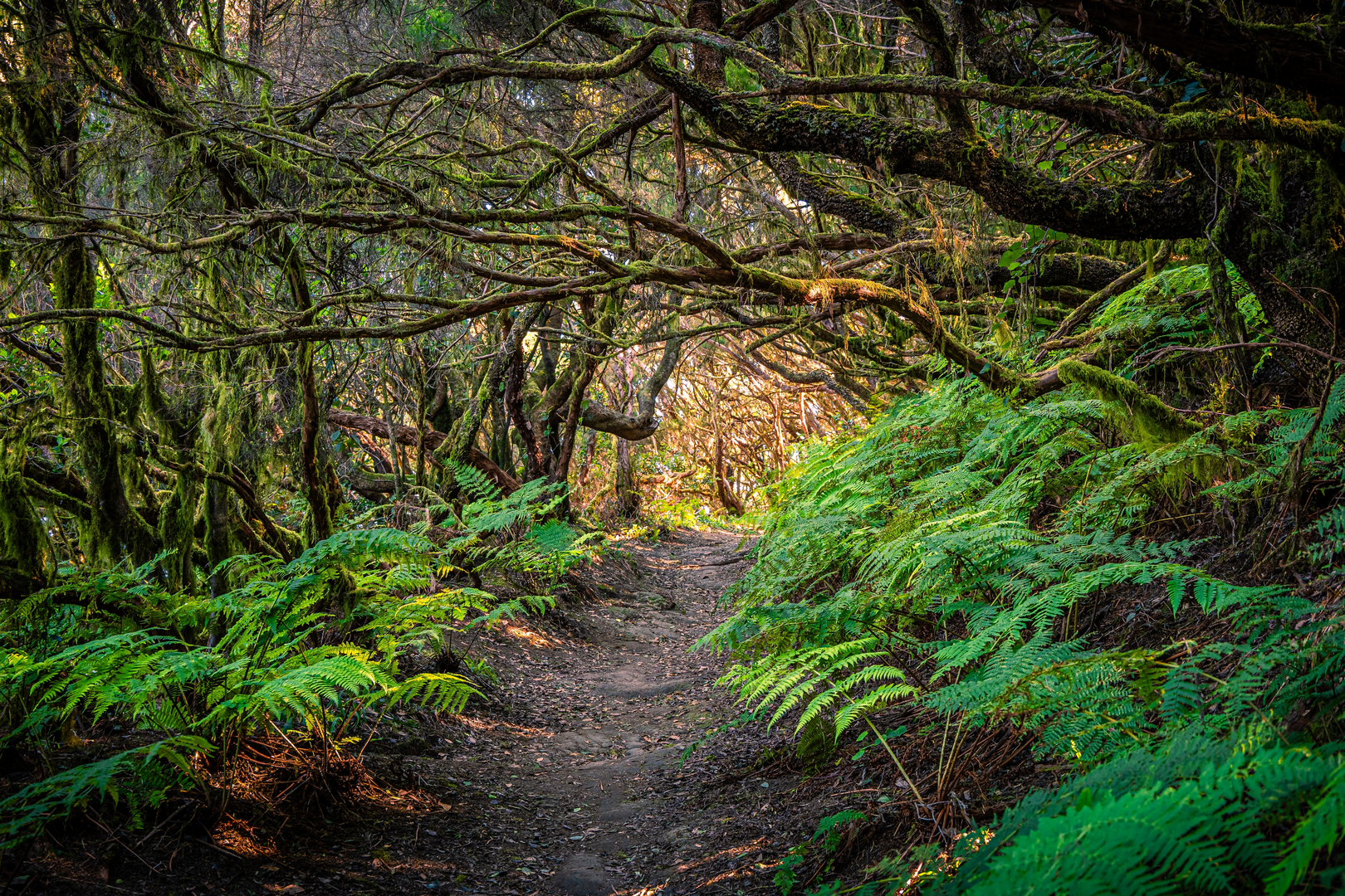
Surfaces
Dirt
Unknown
Comments and Reviews
User comments, reviews and discussions about the Laurel Ridge Loop, New Jersey.
average rating out of 5
0 rating(s)