Download
3D Preview
Add to list
More
12.7 km
~2 hrs 36 min
40 m
Out and Back
“Stroll from leafy Continental Lane to the canal towpath, where history and waterline calm meet.”
This easy, mostly ruler-flat outing links two of the most walkable corridors in Washington Crossing State Park (Titusville, New Jersey): the historic farm-lane feel of Continental Lane and the wide, canal-side tread of the Delaware & Raritan (D&R) Canal towpath. At around 13 km / 8.1 miles with roughly 0 m / 0 ft of climbing, it’s ideal for a relaxed half-day walk, a family hike, or a low-effort fitness loop—just plan for a few short road/bridge pinch points and shared-use traffic (walkers, runners, cyclists).
Getting to the start (car + public transport)
Best “known place” to aim for (car):
- Washington Crossing State Park Visitor Center Museum, 495 Washington Crossing Pennington Rd, Titusville, NJ 08560 (common, reliable landmark and parking reference). (njhiking.com)
A second very common access point—especially if you want to be closer to the canal/towpath—is the Washington Crossing Bridge Parking Lot area off River Rd / NJ-29 in Titusville (often used for the towpath). (njhiking.com)
Driving notes: - In peak season/weekends, lots near the river and canal can fill early. If you want the quietest start, arriving before mid-morning helps. - Some GPS routes try to funnel drivers onto restricted/authorized roads inside the park; follow the main signed entrance off Washington Crossing–Pennington Road. (njhiking.com)
Public transport (practical reality): - This area is car-friendly but not rail-to-trail convenient. The closest major rail hubs are in the Trenton area; from there you’d typically need a rideshare/taxi to reach Washington Crossing/Titusville. If you’re trying to go fully car-free, build in extra time and confirm weekend service before committing.
What the route feels like underfoot
You’ll be on two main surfaces:
- Continental Lane Trail: a gently rolling, natural-surface park trail that functions like an old lane through the middle of the park. (nj.gov)
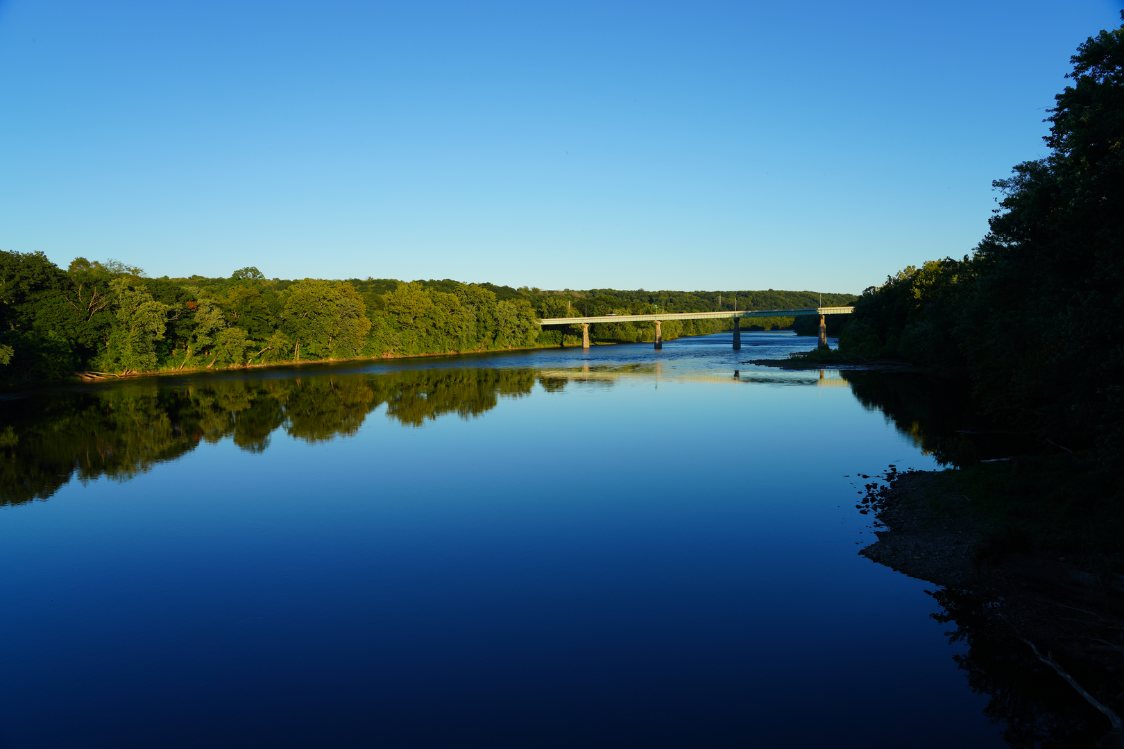
- D&R Canal towpath (Townpath): a wide, flat multiuse corridor with cinder/crushed-stone tread in this section—generally smooth, but it can be dusty when dry and soft in a few low spots after heavy rain. (nj.gov)
Use HiiKER to keep the junctions clean—especially where park trails braid together near the visitor center/nature center area and where you transition onto the canal corridor.
Route breakdown with landmarks (approximate)
Distances below assume a ~13 km / 8.1 mi total by combining Continental Lane with an out-and-back (or partial loop) on the D&R Canal towpath.
0.0 km / 0.0 mi — Start near the Visitor Center / park core From the visitor-center area, you’ll quickly pick up the park’s interior trail network and angle toward Continental Lane, which runs east–west through the park and connects key historic sites. (nj.gov)
0.8–2.5 km / 0.5–1.6 mi — Continental Lane: the “historic lane” segment
Continental Lane is notable because it aligns with the park’s Revolutionary War landscape: it’s widely associated with the route used during the march connected to Washington’s 1776 crossing and movement toward Trenton (the park interprets this as part of the story on-site). (wcpa-nj.com)
Expect a calm, wooded corridor with occasional openings and a “park lane” feel rather than a tight singletrack.
Key historic stops you can detour to (short spurs/nearby):
- Nelson House (Alexander Nelson Tavern area): a major interpretive landmark near the river-side historic core. (wcpa-nj.com)
- Johnson Ferry House (built 1740): closely tied to the crossing-era landscape and commonly highlighted as a must-see historic structure in the

Surfaces
Unpaved
Unknown
Concrete
Gravel
Asphalt
Wood
Comments and Reviews
User comments, reviews and discussions about the Continental Lane Trail and D and R Canal Townpath, New Jersey.
average rating out of 5
0 rating(s)