Download
3D Preview
Add to list
More
49.0 km
~2 days
1190 m
Multi-Day
“Embark on the Fundy Circuit, a scenic 49-km trail rich in natural wonders and historical significance.”
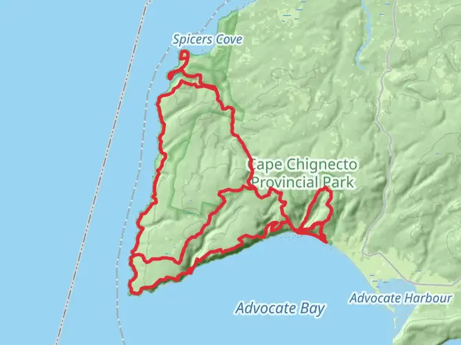
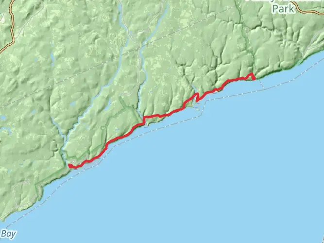
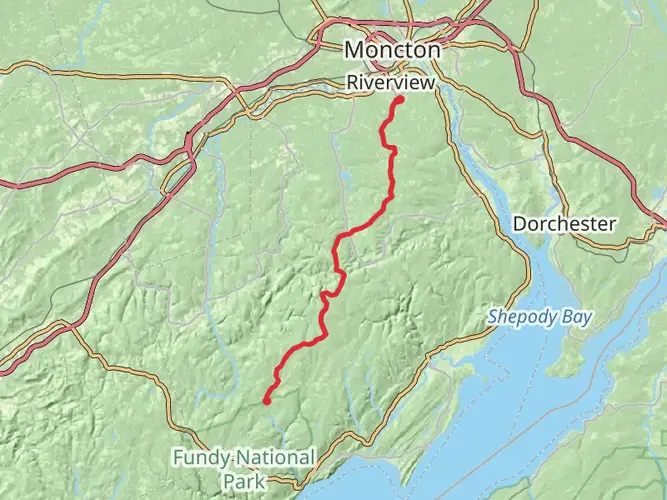
The Fundy Circuit is a captivating loop trail that spans approximately 49 kilometers (30 miles) with an elevation gain of around 1100 meters (3609 feet), nestled in the heart of the Fundy National Park near Albert, New Brunswick. This medium-difficulty hike offers an immersive experience into the Acadian forests and the Bay of Fundy's dramatic coastal landscapes.
Getting to the Trailhead To reach the trailhead, if you're driving, navigate towards Fundy National Park, located near the small town of Albert. The park is accessible via Route 114, which is a scenic drive through New Brunswick's countryside. For those relying on public transportation, options are limited, but during the tourist season, there may be shuttle services available from nearby cities like Moncton, which is about an hour's drive away. Once at the park, the trailhead is well-marked and can be found near the park's headquarters.
Navigating the Trail As you embark on the Fundy Circuit, it's advisable to use a reliable navigation tool like HiiKER to keep track of your progress and ensure you're on the right path. The trail is well-maintained and marked, but the dense forest and changing weather conditions can sometimes make navigation challenging.
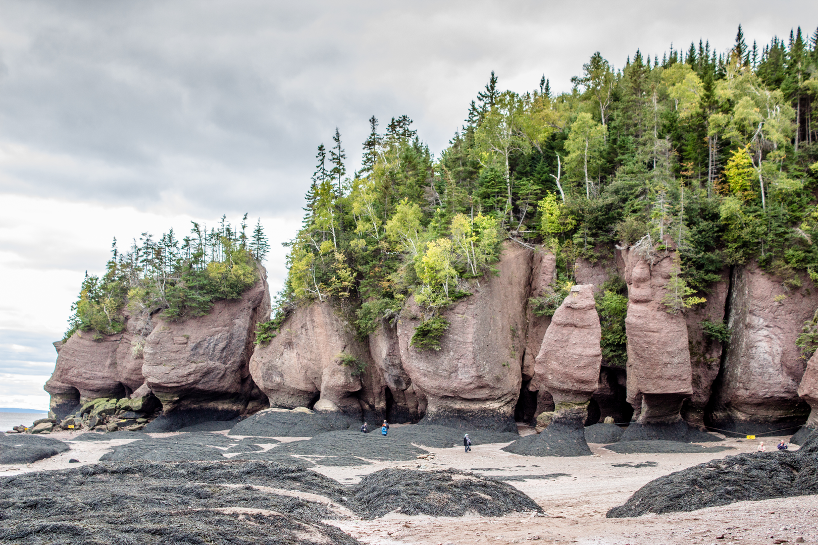
Landmarks and Natural Features The Fundy Circuit is a treasure trove of natural wonders. Early in the hike, you'll encounter the Point Wolfe River, with its picturesque covered bridge serving as a perfect photo opportunity. As you continue, the trail meanders along the rugged coastline, offering breathtaking views of the Bay of Fundy, known for having the highest tides in the world.
The trail also takes you through a variety of landscapes, from dense forests to open grasslands, and past several waterfalls, including the spectacular Third Vault Falls. Here, the water cascades down 16 meters (52 feet) into a serene pool below, making it a great spot for a rest and a refreshing dip if the weather permits.
Wildlife and Flora The Fundy National Park is home to a diverse array of wildlife. Keep an eye out for moose, white-tailed deer, and the elusive black bear. Birdwatchers will delight in the variety of bird species, including the peregrine falcon and the rare Bicknell's thrush. The forest is rich with a mix of hardwood and softwood trees, including sugar maple, red spruce, and balsam fir, creating a lush canopy overhead.
Historical Significance The region around the Fundy Circuit is steeped in history. The Bay of Fundy was a crucial area for the Indigenous Mi'kmaq people, and later, the European settlers who arrived in the 17th century. The park itself was established in 1948 and is a testament to the conservation efforts to preserve the natural beauty of this unique ecosystem.
Preparation and Planning Given the trail's length and varied terrain, it's essential to be well-prepared. Plan for a multi-day trek, typically taking 3 to 5 days to complete the circuit comfortably. There are designated camping areas along the route where you can pitch a tent for overnight stays. Ensure you have a sturdy pair of hiking boots, as the terrain can be rocky and uneven in places. The weather in this region can be unpredictable, so pack layers and waterproof gear.
Remember to carry enough food and water for the duration of your hike, as there are no facilities along the trail. It's also wise to inform someone of your hiking plan and expected return, as cell service can be spotty in the park.
The Fundy Circuit is a journey through one of Canada's most stunning natural landscapes, offering an unforgettable experience for those who tread its path. With careful preparation and a spirit of adventure, hikers will find this trail to be a rewarding challenge filled with the beauty and majesty of the great outdoors.

What to expect?
Activity types
Frequently asked questions
How long does the Fundy Circut take to hike in Fundy National Park?
The Fundy Circut is a 48.97 km multi-day loop with about 1,190 m of climbing, and the standard time on the full circuit is 3 to 5 days. Parks Canada describes it as a 48 km network of seven linked trails, so most hikers break it into several backcountry days rather than attempting it in one push.
Where do you start the Fundy Circut and is there parking near the trailhead?
The Fundy Circut is commonly started from the Point Wolfe area in Fundy National Park. Point Wolfe Campground sits 8 km west of the park east entrance on Point Wolfe Road, beyond the covered bridge, and it is the main access point for several coastal and backcountry trails tied into the circuit.
Can you camp on the Fundy Circut and do you need reservations?
Yes. The Fundy Circut is designed as a backcountry trip, and reservations are required for overnight stays. Fundy National Park has eight backcountry campsites located at Goose River, Marven Lake, Tracey Lake, and Chambers Lake, which are the main overnight options used when splitting up the 49 km loop.
Is the Fundy Circut dog friendly?
Dogs are allowed on the Fundy Circut, but pets in Fundy National Park must be kept on a leash at all times and cannot be left unattended. That makes the route possible with a trail dog, but the circuit’s length, steep river valleys, and multi-day backcountry format mean it is better suited to experienced hiking dogs.
How hard is the Fundy Circut and what kind of terrain is on the route?
The Fundy Circut is a medium-difficulty hike with 48.97 km of distance and roughly 1,190 m of elevation gain. The route links seven trails through coastal sections, forest, lakes, rugged cliffs, and river valleys, so the challenge comes more from sustained mileage, repeated climbs, and uneven backcountry terrain than from any single steep ascent.
Are there river crossings on the Fundy Circut in Fundy National Park?
Yes. Several trails on the Fundy Circut involve river crossings, and Fundy National Park warns that crossings can become dangerous when water levels are high. Conditions are monitored, and closures are posted at trailheads when crossings are hazardous, so recent conditions can affect whether the full loop is practical.
What are the main sections of the Fundy Circut route?
The Fundy Circut is made up of seven linked trail sections: Coastal at 10.1 km, Shiphaven at 0.5 km, Marven Lake at 8 km, Bennett Brook at 7.7 km, Tracey Lake at 7 km, The Forks at 3.4 km, and Upper Salmon River at 8.8 km. Parks Canada notes that hiking the circuit with Upper Salmon as the final leg is the preferred direction.
Comments and Reviews
User comments, reviews and discussions about the Fundy Circut, New Brunswick.
4.33
average rating out of 5
6 rating(s)