Download
3D Flyover
Add to list
More
38.2 km
~2 days
0 m
Multi-Day
“A ruler-flat polder loop of big skies, whispering kreeks, and birdlife—where wind sets the pace.”
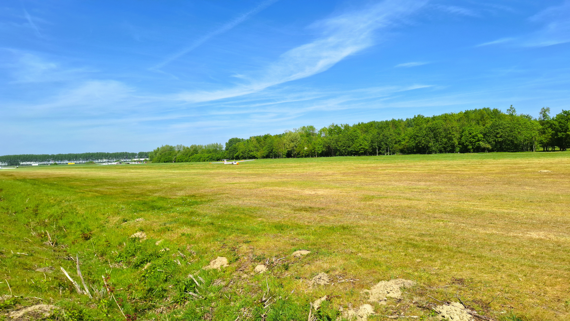
This is a long, ruler-flat polder and creekland circuit of about 38 km (23.6 mi) with essentially 0 m (0 ft) of climbing—easy on the legs, but it can feel big because you’re exposed to wind and weather for hours. Expect a mix of dike-top tracks, farm lanes, and grassy/packed paths tracing old watercourses (“kreken”) and wide drainage canals, with big skies and constant birdlife.
Getting to the start (car + public transport)
A practical start point for “Fortdijk West” is along Fortdijk, 4576CR Koewacht (municipality of Terneuzen, Zeeland)—a clear, mappable anchor for HiiKER and close to where the Fortdijk runs through the rural outskirts of Koewacht. (postcode.site)
- By car: Aim for Fortdijk (Koewacht) and park considerately on the verge where it’s permitted (this is working countryside—keep gateways and farm access clear).
- By public transport: The nearest larger hubs tend to be Terneuzen / Axel / Hulst areas for buses, then a local connection or short taxi to Koewacht’s outskirts. If you’re building the day around transit, plan for a longer day and check the last return service before committing to the full loop.
Because you didn’t provide a lon/lat for the hike head, the best “nearest known address/landmark” conversion available from the route name is Fortdijk, 4576CR Koewacht (street-level location). (postcode.site)
What the terrain feels like (and why it’s so flat)
You’re walking through a landscape engineered to be flat: polders, ditches, and dikes that keep farmland dry and manage water levels. The “kreek” sections are especially interesting—these are former tidal channels and flood-cut waterways that remained as sinuous wet corridors after land was reclaimed and embanked. In Zeeland (and especially Zeeuws-Vlaanderen), many creeks are literally “readable landscape,” showing where the sea once pushed inland and where later embankments “rolled up” the channel edges into today’s patchwork of fields and dikes. (zeeuwseankers.nl)
Underfoot, plan for: - Long straight farm roads (fast, but repetitive) - Dike crests (great views, more wind) - Occasional soft/greasy sections near wet ground after rain (waterlogged clay can be slick)
Distance breakdown you can plan around
For a 38 km (23.6 mi) day, it helps to think in quarters: - 0–10 km (0–6.2 mi): Settle into the rhythm—usually the most “agricultural” feeling section with straight lines and drainage channels. - 10–20 km (6.2–12.4 mi): The creek corridors become the highlight: reedbeds, open water, and more concentrated bird activity. - 20–30 km (12.4–18.6 mi): Big-sky walking—often the windiest part if you’re on exposed dikes. - 30–38 km (18.6–23.6 mi): Mentally the toughest if conditions are harsh; physically still easy, but you’ll feel the distance.
Even with negligible elevation gain, budget time for wind, mud, and photo/birdwatch stops.
Nature, wildlife, and what to look for
Creek-and-dike country is prime for waterfowl and waders. In the broader region, these wet corridors and marshy pockets are used by large numbers of birds, especially in migration and winter periods. (zeeuwseankers.nl)
What you’re likely to notice:
- Reedbeds and wet margins: listen for rustling and calls; scan edges for movement.
- Open water and sheltered bends: best spots for ducks and diving birds.
- Field edges and ditches: small birds, raptors hunting low, and plenty of amphibian habitat in warmer months.
If you’re lucky with conditions, you’ll also see classic creekside vegetation—reeds, rushes, and wetland plants—changing quickly from dry dike grass to saturated margins.
Landmarks and regional history along the way
This part of Zeeland’s borderland has a long history shaped by

Surfaces
Unknown
Asphalt
Paved
Grass
Gravel
Dirt
Unpaved
Concrete
Cobblestone
Comments and Reviews
User comments, reviews and discussions about the De Grote Kreek and Drieschouwen via Fortdijk West, Netherlands.
average rating out of 5
0 rating(s)