Download
3D Flyover
Add to list
More
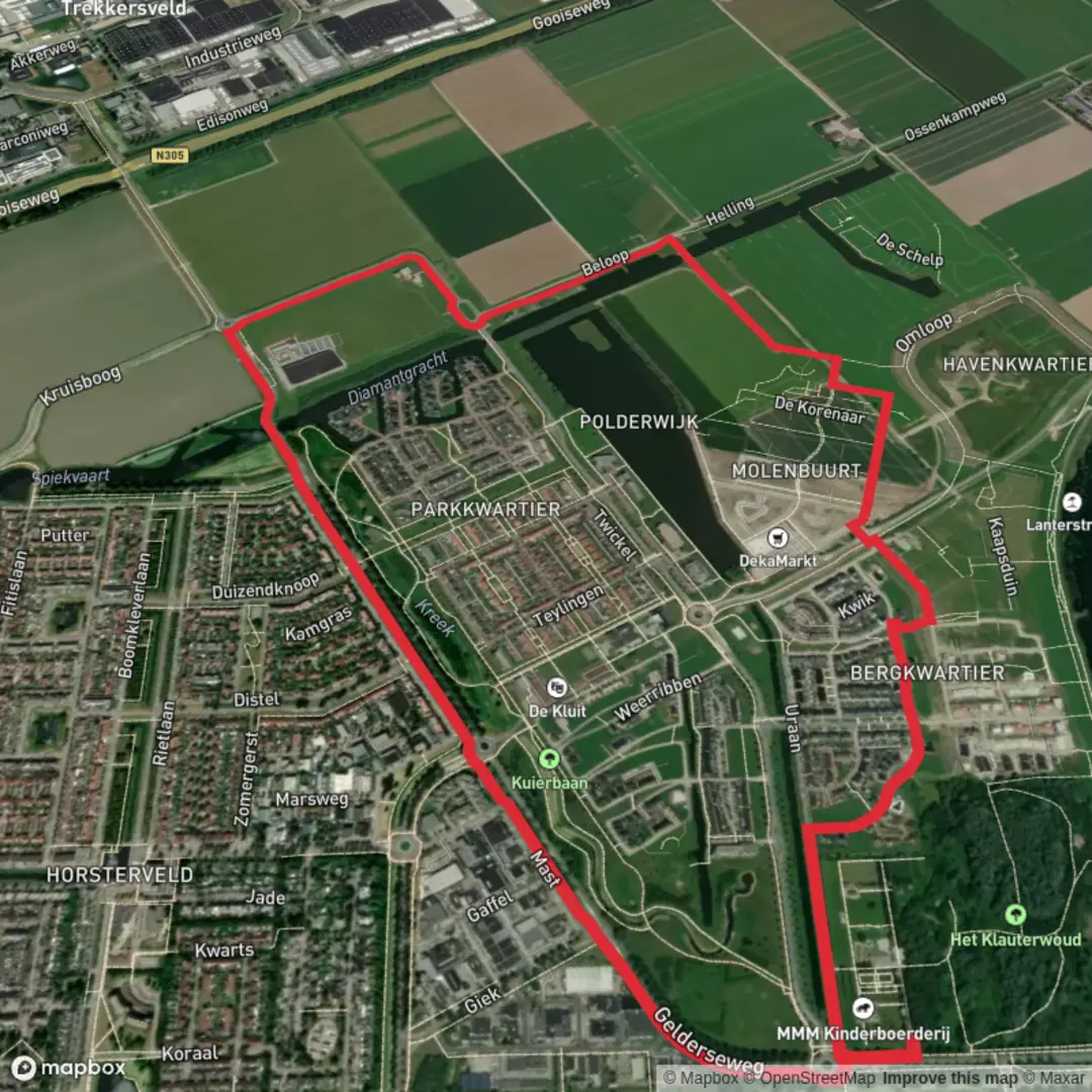
5.7 km
~1 hrs 8 min
0 m
Loop
“Wander through enchanting forests, sweeping meadows, and historic heartlands on this gentle Dutch countryside loop.”
The Gelders Weg and Beloop is a pleasant 6-kilometer (approximately 3.7 miles) loop trail with no significant elevation gain, making it an ideal choice for hikers seeking an easy and enjoyable walk through the Dutch countryside.
Trailhead Location and Access
The trailhead is located near the village of Lunteren in the province of Gelderland, Netherlands. For those traveling by car, parking is available at the Lunteren train station, situated at Stationsstraat 1, 6741 DE Lunteren. If you're using public transportation, Lunteren is accessible via train from major Dutch cities. Upon arrival at the Lunteren station, the trailhead is a short walk away.
Trail Overview
Starting from the Lunteren train station, the trail meanders through a variety of landscapes, including dense forests, open fields, and charming rural areas. The well-marked path ensures easy navigation, and hikers can utilize the HiiKER app for detailed maps and real-time guidance.
Key Landmarks and Points of Interest
Luntersche Buurtbosch: Early in the hike, you'll traverse the Luntersche Buurtbosch, a historic forest known for its diverse flora and fauna. Keep an eye out for native bird species and, if you're lucky, you might spot a deer or two.
De Koepel Lookout Tower: Approximately 2 kilometers (1.2 miles) into the hike, you'll encounter De Koepel, a historic lookout tower offering panoramic views of the surrounding countryside. Climbing the tower provides a unique perspective of the Veluwe region.
Goudsberg Area: As you continue, the trail leads you to the Goudsberg area, often referred to as the "Geographical Center of the Netherlands." This region is rich in history and offers informative plaques detailing its significance.
Flora and Fauna
The trail showcases a variety of plant life, from towering oaks and pines in the forested sections to vibrant wildflowers in the open meadows. Birdwatchers will appreciate the presence of species such as the European robin, great tit, and occasionally, the elusive Eurasian jay.
Historical Significance
The region around Lunteren is steeped in history. The Goudsberg area, in particular, has been a focal point for centuries, serving as a landmark and meeting place. Informational signs along the trail provide insights into the area's past, including its role in local trade routes and settlements.
Trail Conditions and Recommendations
The path is predominantly flat and well-maintained, making it suitable for hikers of all ages and skill levels. However, after heavy rains, certain sections might become muddy, so appropriate footwear is recommended. There are several benches and rest areas along the route, providing opportunities to relax and take in the scenery.
Getting There
By Car: Navigate to Stationsstraat 1, 6741 DE Lunteren, where parking is available near the train station.
By Public Transport: Trains to Lunteren run regularly from major cities like Amsterdam and Utrecht. Upon arrival at Lunteren station, the trailhead is easily accessible on foot.
For detailed maps and real-time navigation assistance, consider using the HiiKER app, which provides comprehensive information on the Gelders Weg and Beloop trail.

Surfaces
Asphalt
Unknown
Paved
Comments and Reviews
User comments, reviews and discussions about the Gelders Weg and Beloop, Netherlands.
average rating out of 5
0 rating(s)