Voorgatige Renbaan and Zandvoort beach via Tilanuspad and Burgemeester Nawijnlaan
Download
Preview
Add to list
More
15.1 km
~3 hrs 3 min
22 m
Loop
“Wander from whispering dunes to lively beach shores, discovering Zandvoort’s hidden wildlife and village charm.”
Embarking on the Voorgatige Renbaan and Zandvoort Beach hike via Tilanuspad and Burgemeester Nawijnlaan offers a delightful 15-kilometer (approximately 9.3 miles) journey through diverse landscapes, including serene dunes, vibrant coastal areas, and charming village streets. With virtually no elevation gain, this easy-rated trail is perfect for hikers of all levels seeking a leisurely exploration of the Zandvoort region.
Starting Point and Access
The hike commences near the entrance to the Amsterdamse Waterleidingduinen, accessible via the Tilanuspad. This area is renowned for its extensive dune landscapes and rich biodiversity. To reach the starting point:
By Public Transport: From Amsterdam Centraal Station, take a direct train to Zandvoort aan Zee, a journey of approximately 30 minutes. Upon arrival, it's a short walk to the trailhead. Alternatively, bus 80 from Amsterdam's Elandsgracht or bus 81 from Haarlem Central Station provide convenient access to Zandvoort. (visitzandvoort.com)
By Car: Drive towards Zandvoort via the N201 or N200 highways. Parking is available near the Amsterdamse Waterleidingduinen entrance, but be aware that parking fees may apply.
Trail Overview
Beginning at the Tilanuspad, the trail meanders through the Amsterdamse Waterleidingduinen, a protected nature reserve known for its abundant wildlife, including fallow deer and foxes. The path is well-maintained, offering a peaceful walk amidst diverse flora.
Key Sections of the Hike
Amsterdamse Waterleidingduinen: This section provides an opportunity to observe local wildlife in their natural habitat. The dunes are home to various bird species, making it a haven for birdwatchers.
Burgemeester Nawijnlaan: Transitioning from the dunes, the route leads into the village of Zandvoort via Burgemeester Nawijnlaan. This charming street showcases traditional Dutch architecture and offers a glimpse into the local lifestyle.
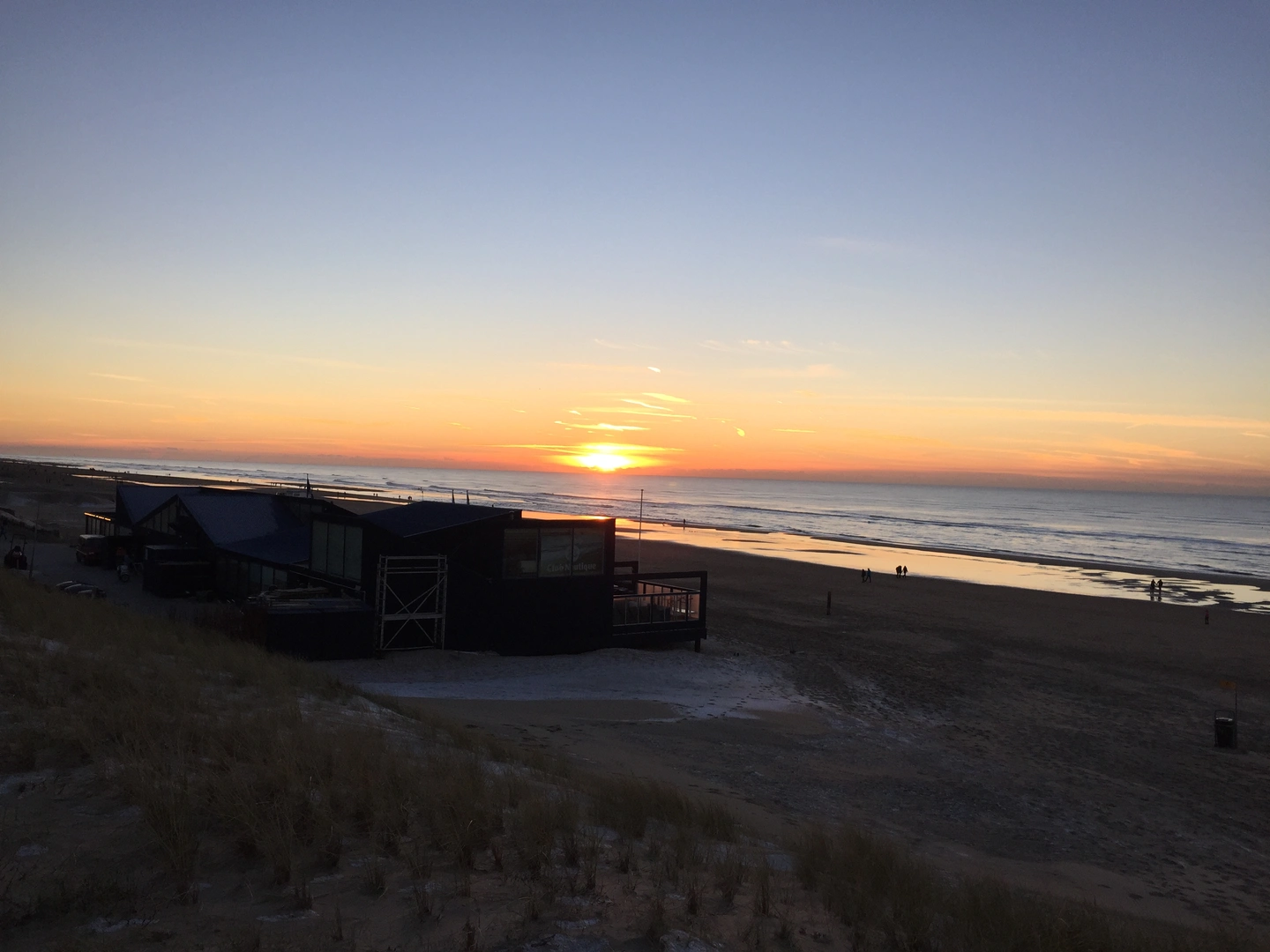
Zandvoort Beach: The final stretch of the hike brings you to the expansive Zandvoort Beach. The sandy shores are perfect for a leisurely stroll, and the numerous beach pavilions provide spots to relax and enjoy refreshments.
Historical Significance
Zandvoort has a rich history as a fishing village and later as a popular seaside resort. The area played a significant role during World War II, with remnants of bunkers still visible along the coast. The Amsterdamse Waterleidingduinen have been crucial in supplying drinking water to Amsterdam since the 19th century, highlighting the region's importance in water management.
Preparation Tips
Navigation: Utilize the HiiKER app to access detailed maps and trail information, ensuring a smooth hiking experience.
Permits: An entrance fee is required for the Amsterdamse Waterleidingduinen. Tickets can be purchased online or at the entrance.
Amenities: Restrooms and cafes are available in Zandvoort village and along the beach, but facilities within the dunes are limited.
Wildlife Caution: While wildlife encounters are generally safe, it's advisable to maintain a respectful distance and avoid feeding the animals.
This hike offers a harmonious blend of natural beauty, wildlife observation, and cultural exploration, making it a must-experience trail for those visiting the Zandvoort area.

Surfaces
Unknown
Unpaved
Sand
Paved
Grass
Asphalt
Concrete
Comments and Reviews
User comments, reviews and discussions about the Voorgatige Renbaan and Zandvoort beach via Tilanuspad and Burgemeester Nawijnlaan, Netherlands.
average rating out of 5
0 rating(s)