Download
3D Flyover
Add to list
More
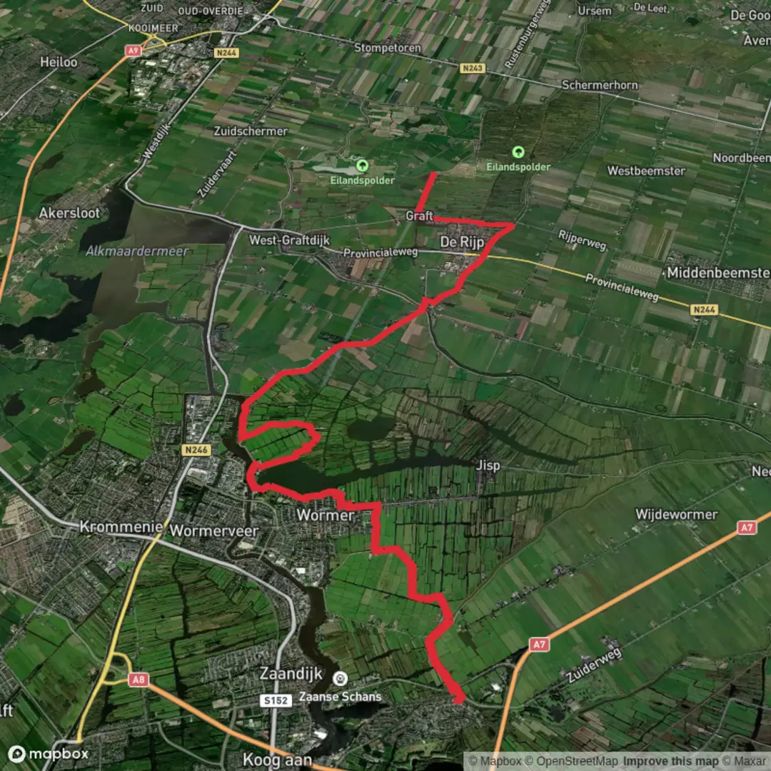
21.2 km
~4 hrs 14 min
0 m
Point-to-Point
“A big-sky Salland ramble from Bathmen: flat lanes, shining ditches, poelen, and wind-washed calm.”
This is a classic Salland lowland walk: wide skies, ruler-flat paths, and a steady rhythm of waterways, small woods, and farm lanes. At around 21 km / 13.0 mi with roughly 0 m / 0 ft of climbing, the effort is more about time on feet and wind exposure than elevation.
For a practical start point, aim for Bathmen village (postcode 7437), municipality of Deventer, Overijssel—a convenient landmark is Bathmen’s center near the church (Dorpskerk Bathmen), where you’ll also find services and straightforward access to the surrounding footpaths. Bathmen sits at about 10 m / 33 ft above sea level, which matches the “flat” feel you’ll have all day. (en.wikipedia.org)
Getting to the start (car + public transport)
- By car: Bathmen is an easy drive from Deventer and the A1 corridor; in the village you’ll typically find street parking and small public lots near the center. If you prefer a transit hub with larger parking, Deventer railway station (Stationsplein 3, 7411 HB Deventer) is a reliable fallback, and you can use HiiKER to guide you from there to your chosen trailhead in/near Bathmen. (hiiker.app)
- By public transport: The region is well connected via Deventer (major rail station). From Deventer, local buses serve Bathmen; one commonly referenced stop is “Bathmen, Schipbeeksweg” (use HiiKER to choose the best stop for your exact start). (moovitapp.com)
Once you’re moving, expect a patchwork of surfaces: paved farm roads, compacted paths on dikes, and occasional softer sections that can turn slick after rain—especially where paths run close to drainage ditches or along grassy verges.
What the route feels like, section by section
0–5 km / 0–3.1 mi: Leaving Bathmen and finding the waterlines
The first few kilometers typically ease you out of the village edge into open agricultural land. You’ll notice how quickly the landscape becomes “water-managed”: straight ditches, small culverts, and narrow bridges. In calm weather it’s serene; in wind, these open fields can feel surprisingly committing because there’s little shelter. Dress for exposure even on mild days.
5–12 km / 3.1–7.5 mi: De Poel and the quiet farm-country corridors
As you arc toward areas locally referred to as poelen (ponds) and wet hollows, the scenery often shifts from pure pasture to a mix of damp grassland, reedier margins, and hedged lanes. In this part of Overijssel, small ponds (poelen) are culturally and ecologically important: historically they were often created/maintained as livestock drinking water, wash places, or fire-water reservoirs, and today they’re valuable habitat for amphibians and insects. (landschapoverijssel.nl)
Wildlife to watch for around these wet features:
- Amphibians (frogs, toads, salamanders) and dragonflies/damselflies in warmer months
- Hunting raptors over fields (kestrel is common in this kind of terrain)
- Waterfowl and small songbirds along reedy edges
Because the route is flat, the main “hazards” here are underfoot and environmental: muddy gateways, slick grass on dike tops, and the occasional electric fence line near grazing areas. Give livestock a wide berth and be careful stepping off the path—ditch edges can be undercut.
12–17 km / 7.5–10.6 mi: Mieuwijdt and the more wooded interludes
This middle-late portion often threads through slightly more enclosed lanes and small woodland blocks. Even a thin strip of trees can change the feel dramatically—less wind, more birdsong, and (in summer) more insects. If you’re hiking in tick season, this is the section to be most diligent: long socks, repellent, and a check at breaks.
Navigation is generally straightforward

Surfaces
Unknown
Asphalt
Dirt
Comments and Reviews
User comments, reviews and discussions about the Schipbeek to t Meertje via De Poel and Mieuwijdt, Netherlands.
average rating out of 5
0 rating(s)