Download
3D Flyover
Add to list
More
17.6 km
~3 hrs 30 min
0 m
Loop
“Wander through timeless Dutch landscapes, where water, wildlife, and history paint a peaceful countryside tapestry.”
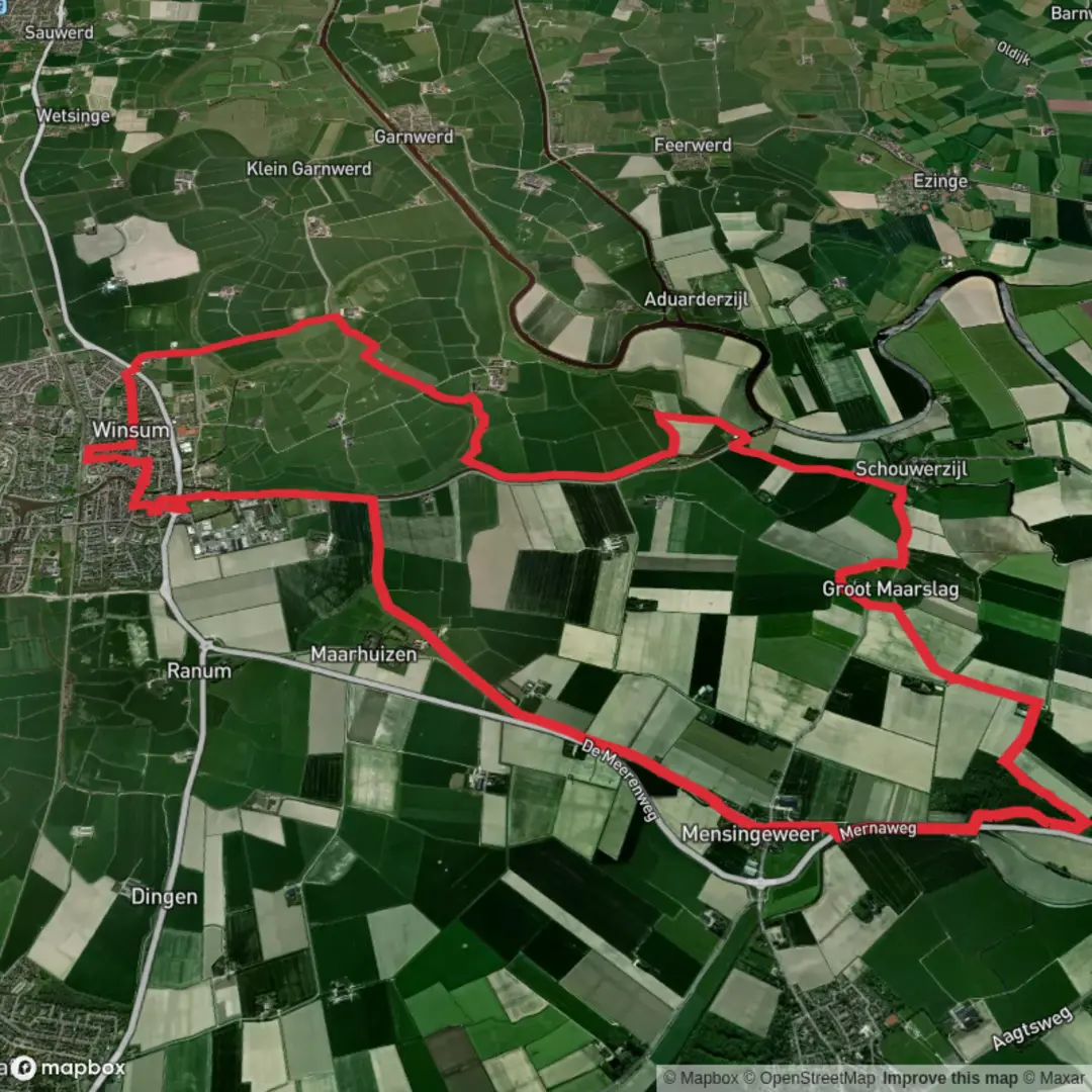
Starting from the tranquil outskirts near Schaphalsterzijl, just north of Winsum in the province of Groningen, this loop trail covers approximately 18 km (about 11.2 miles) with virtually no elevation gain, making it an accessible and leisurely walk for most hikers. The route is a gentle exploration of the Dutch countryside, weaving through a landscape shaped by centuries of water management and agricultural tradition.
Getting There
The trailhead is easily reached by public transport: take a train to Winsum station, which is well-connected to Groningen city. From Winsum, local buses or a short taxi ride will bring you to the vicinity of Schaphalsterzijl. For those arriving by car, parking is available near the sluice at Schaphalsterzijl, a recognizable landmark where the Reitdiep canal meets the countryside.
Route Highlights and Navigation
Setting off from Schaphalsterzijl, you’ll immediately notice the historic sluice, a testament to the region’s ongoing relationship with water. The Reitdiep, once a tidal river, is now a calm canal bordered by grassy embankments and dotted with waterfowl. The first few kilometers follow the canal, offering wide-open views and the chance to spot herons, swans, and migratory birds.
After about 4 km (2.5 miles), the route veers inland toward Abelstok, a small hamlet surrounded by fields and traditional Groningen farmhouses. The flat terrain is punctuated by windmills and the occasional stand of poplars, providing shelter for kestrels and other small raptors. The area is known for its rich soil, and in spring and summer, the fields are vibrant with crops and wildflowers.
Billingeweer and the Return Leg
At roughly the halfway point, you’ll reach Billingeweer, a tiny settlement with roots dating back to medieval times. Here, the landscape is marked by old dikes and drainage channels, reminders of the region’s history of land reclamation. Keep an eye out for the characteristic terp (artificial dwelling mound), which hints at how early inhabitants protected themselves from flooding.
The loop then arcs back toward Schaphalsterzijl, passing through quiet lanes and open meadows. The final stretch follows the Reitdiep once more, with expansive skies and the distant spires of Winsum visible on the horizon. The entire route is well-marked, but for added confidence, use HiiKER for up-to-date navigation and trail information.
Nature and Wildlife
Throughout the hike, expect to see a variety of birdlife, especially in spring and autumn when migratory species pass through. The wetlands and canals are home to frogs, newts, and dragonflies, while the hedgerows shelter songbirds and the occasional hare. The absence of significant elevation means the walk is easy on the legs, but be prepared for wind, as the open landscape offers little shelter.
Historical Significance
This region of Groningen is steeped in history, from the ancient terpen to the centuries-old sluices and dikes. The Reitdiep itself was once a vital shipping route, and the villages along the way retain their historic charm, with brick churches and traditional Dutch architecture.
With its flat terrain, rich wildlife, and deep sense of history, this loop offers a quintessential Dutch hiking experience, perfect for those seeking a peaceful day out in the countryside.

Surfaces
Asphalt
Concrete
Unknown
Grass
Unpaved
Sand
Comments and Reviews
User comments, reviews and discussions about the Schaphalsterzijl, Abelstok and Billingeweer Loop, Netherlands.
average rating out of 5
0 rating(s)