Download
3D Flyover
Add to list
More
8.4 km
~1 hrs 40 min
0 m
Loop
“Stroll through tranquil reed beds and rich history, where Zeeland’s landscapes and wildlife quietly shine.”
The Molenkreek and Canisvlietsche Kreek Loop is an approximately 8-kilometer (5-mile) circular trail near Westdorpe in the province of Zeeland, Netherlands. With virtually no elevation gain, this easy route offers hikers a serene experience through a landscape rich in natural beauty and historical significance.
Getting There
To reach the trailhead by car, navigate to the Vissersverkorting in Westdorpe. If approaching from the N62, take the third exit at the roundabout off the bridge of Sas van Gent. Parking is available at the beginning of the Vissersverkorting. For those using public transport, buses serve the Westdorpe area; check local schedules for the most convenient routes.
Trail Overview
The loop encompasses two primary sections: the Canisvlietsche Kreek and the Molenkreek. Starting from the parking area, the trail first leads you around the Canisvlietsche Kreek, a 5-kilometer (3.1-mile) path. For those seeking a longer hike, an additional detour along the Molenkreek extends the total distance to 8.5 kilometers (5.3 miles). (routeyou.com)
Canisvlietsche Kreek
The Canisvlietsche Kreek is a former tidal creek with flat banks, featuring moist grasslands and reed beds. This 13.7-hectare (33.8-acre) brackish water body lies adjacent to the Ghent-Terneuzen Canal and near the Belgian border. Before 1962, it was part of a larger creek system that included the Molenkreek. During the canal's widening in 1962, surrounding lands were reclaimed with dredged material, isolating the Canisvlietsche Kreek from the Molenkreek. Despite these changes, the area retains significant natural value, providing habitat for various waterfowl and breeding birds. (trailexplorer.eu)
Molenkreek
The Molenkreek, located near Westdorpe, is another remnant of the historical creek system. This area offers a peaceful environment with opportunities to observe local wildlife and enjoy the natural surroundings. The extension along the Molenkreek adds approximately 3.5 kilometers (2.2 miles) to the hike, making it suitable for those desiring a longer route. (routeyou.com)
Historical Significance
The region's landscape has been shaped by both natural processes and human intervention. The creeks are remnants of a larger system that played a role in the area's drainage and agriculture. The widening of the Ghent-Terneuzen Canal in the 1960s led to significant changes, including the isolation of the Canisvlietsche Kreek. Efforts by local conservationists, such as ornithologist Johan van den Steen, have been instrumental in preserving these natural areas from industrial encroachment. (trailexplorer.eu)
Trail Conditions and Navigation
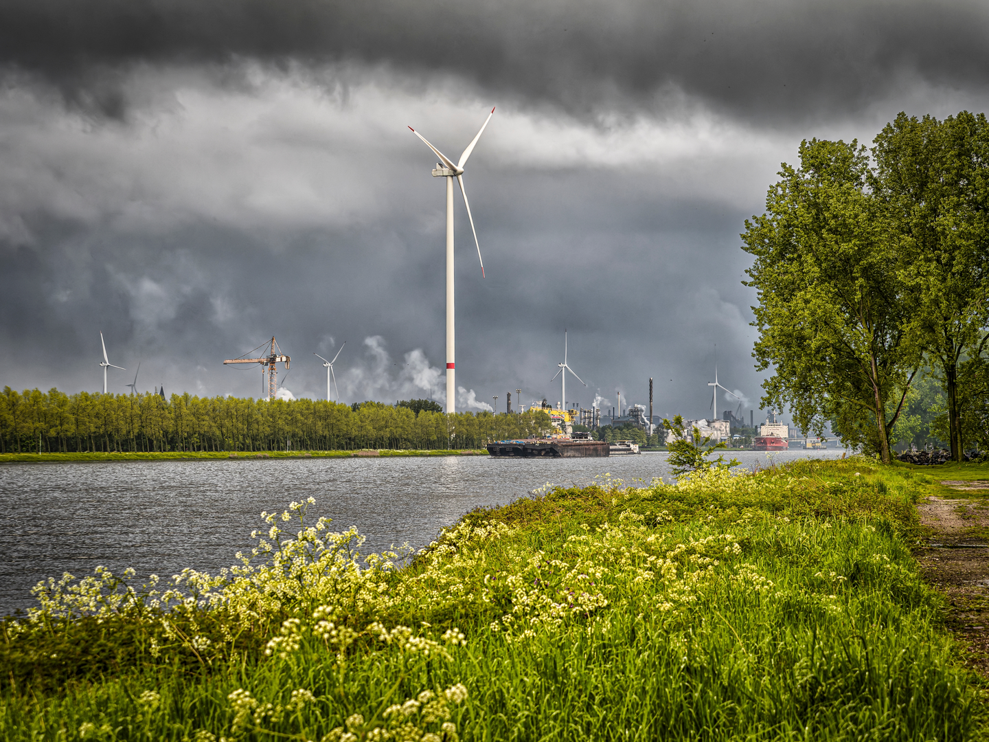
The trail consists of both paved and unpaved sections, traversing through green landscapes with occasional views of industrial structures in the distance. The path is relatively flat, making it accessible for hikers of all levels. It's advisable to wear comfortable hiking shoes, as some areas may be uneven or muddy, especially after rain. For navigation, consider using HiiKER to ensure you stay on the correct path.
Flora and Fauna
The trail passes through diverse habitats, including moist grasslands, reed beds, and areas of reforestation. These environments support a variety of bird species, making it a rewarding route for birdwatchers. Depending on the season, you may encounter species such as indigo buntings, blue grosbeaks, and various waterfowl. The reforestation areas are also home to deer and wild turkeys. (nj.gov)
Practical Information
The entire loop can be completed in approximately 1.5 to 2 hours, depending on your pace and whether you choose the extended route. There are no significant elevation changes, making it suitable for families and casual hikers. Be sure to bring water and any necessary supplies, as amenities along the trail are limited.
By following this guide and utilizing HiiKER for navigation, you'll be well-prepared to enjoy the Molenkreek and Canisvlietsche Kreek Loop, immersing yourself in the natural beauty and historical context of this unique region.

Surfaces
Unknown
Grass
Ground
Comments and Reviews
User comments, reviews and discussions about the Molenkreek and Canisvlietsche Kreek Loop, Netherlands.
average rating out of 5
0 rating(s)