Download
3D Flyover
Add to list
More
6.1 km
~1 hrs 13 min
0 m
Loop
“A gentle, mostly level loop where holiday-park bustle fades into shaded woodland and quiet folklore stones.”
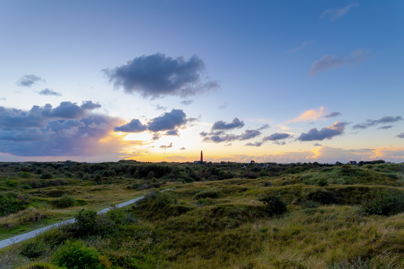
This is a short, mostly level loop of about 6 km (3.7 mi) with ~0 m (0 ft) of climbing, ideal for a relaxed walk on firm paths. Expect easy navigation, frequent “civilization cues” (holiday parks, access roads, signage), and a few pockets of quieter woodland where the atmosphere changes quickly from open, developed edges to shaded forest.
Getting to the start (car + public transport)
Because the start point is only listed as “near” and no coordinates/town are provided, I can’t reliably convert a lon/lat to a nearby address or landmark yet. If you share either (a) the start coordinates, (b) the nearest town/village, or (c) a HiiKER link, I’ll pin the start to the nearest recognizable place (e.g., a trailhead parking area, bus stop, or named landmark) and tailor the directions precisely.
For planning purposes, this kind of loop typically starts near a holiday-park access road or small public parking pull-in: - By car: look for signed parking near the holiday park entrance or a small forest car park. Arrive early on weekends/holidays—these areas can fill quickly. - By public transport: the most common pattern is train to the nearest larger town, then a local bus toward the holiday parks/forest edge, finishing with a short walk (often 0.5–2 km / 0.3–1.2 mi) to the loop. Once you provide the nearest town or coordinates, I’ll identify the most practical stop and walking approach.
What to bring for an easy, flat 6 km (3.7 mi): - Light waterproof layer (flat routes can still be windy/exposed in open sections) - Comfortable walking shoes (expect compacted gravel/asphalt and some forest track) - Tick repellent in warm months; a quick post-walk tick check is wise in mixed woodland
What the route feels like underfoot
With negligible elevation change, the effort is steady and low. Surfaces are usually a mix of: - Paved or semi-paved access lanes near vakantieparken (holiday parks) - Compacted gravel and hard-packed forest track as you transition into quieter sections - Occasional sandy or rooty patches under trees (still easy, but can be slick after rain)
Because it’s a loop, you’ll likely alternate between open edges (more people, bikes, dog walkers) and calmer woodland corridors. Even on an “easy” route, the main things that slow people down are mud after rain, short sandy stretches, and shared-use path traffic near park entrances.
Landmarks and points of interest
Vakantieparken (holiday parks):
These are a distinctive feature of many lowland walking areas—clusters of cabins, landscaped ponds, and internal roads. They often come with:
- Clear wayfinding signs and maintained paths
- More foot and bike traffic, especially midday
- Occasional service vehicles—stay alert on narrow lanes
Doddemanskisten (historical “dead men’s chests”):
The term doddemanskisten is commonly used in parts of the Low Countries for stone coffins/sarcophagi or ancient burial-related stone features, sometimes associated (accurately or by local tradition) with early medieval or older burial practices. On routes that include them, they’re usually:
- Low, stone-built features that can be easy to miss if you’re walking quickly
- Located in or near woodland, sometimes with an information board
- Protected—look, photograph, but don’t climb or disturb stones
If you share the exact area (coordinates or nearest town), I can tell you whether the “Doddemanskisten” here are documented archaeological objects, commemorative replicas, or a locally named feature tied to folklore—each region uses the term a bit differently.
Nature and wildlife to watch for
On flat, mixed-use loops like this, wildlife sightings depend heavily on time of day: - Birdlife: woodland songbirds in the trees; waterfowl if there are park ponds or drainage canals nearby - Mammals: rabbits and squirrels are common; deer are possible in quieter forest sections, especially early morning - Insects: mosquitoes near standing water in warm months; ticks in grassy edges and leaf litter
Vegetation is typically a blend of managed woodland (straight tracks, planted stands) and edge habitat (shrubs, grasses) that supports lots of small birds. In spring and early summer, the forest edge can be especially active with nesting birds—keep dogs close where required.
Navigation and safety notes (easy route, but a few gotchas)
- Use HiiKER to confirm the loop direction and any short connectors through park roads—holiday-park layouts can create “almost-right” turns that feel obvious but lead to dead ends.
- Expect cyclists on wider tracks; keep right and listen for bells.
- After rain, the shadiest forest segments can hold slick mud even when the open areas look dry.
- If the loop passes close to private cabins or fenced areas, stay on the marked path—shortcuts often cross private property.
If you send the start lon/lat (or a HiiKER route link) and any map you have, I’ll (1) convert the start to the nearest known address/landmark, (2) lay out the loop in clear segments with approximate distances in km and miles, and (3) call out exactly where the Doddemanskisten feature appears along the walk.

Surfaces
Unknown
Sand
Unpaved
Asphalt
Ground
Grass
Comments and Reviews
User comments, reviews and discussions about the Vakantieparken and Doddemanskisten Loop, Netherlands.
average rating out of 5
0 rating(s)