Download
3D Flyover
Add to list
More
34.4 km
~6 hrs 52 min
0 m
Multi-Day
“A long, flat Kempen ramble through purple-tinged heath, whispering pines, and sand-soft tracks—plan well.”
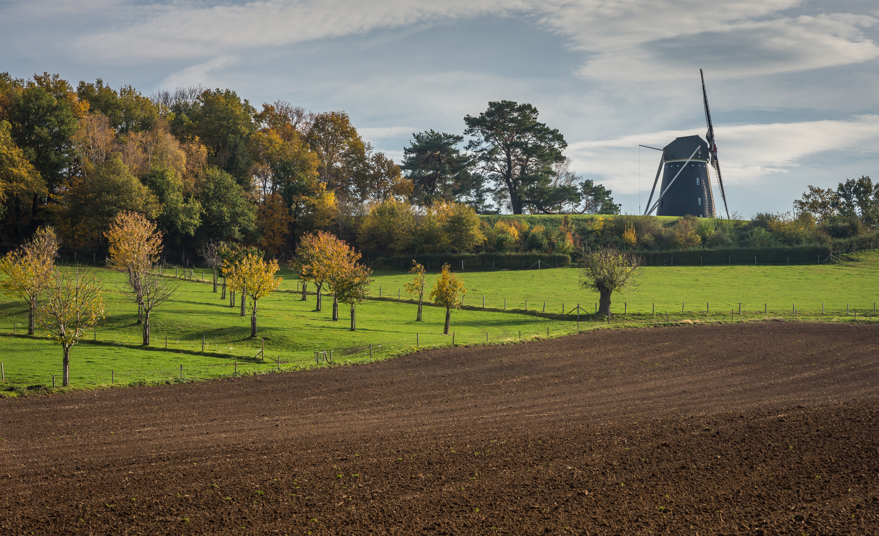
This is a long, low-lying Kempen (Campine) landscape walk of about 34 km (21.1 mi) with negligible elevation gain (~0 m / ~0 ft)—ideal if you want distance without climbing. Expect a mix of open heath, pine and mixed woodland, sandy tracks, and quiet rural edges around Bergeijk, with frequent transitions between wide, fast forest roads and narrower, softer footpaths.
Getting to the start (car + public transport)
Because the start is only given as “near,” the most practical way to plan is to anchor your start at a well-known access point on the loop. A common, easy-to-navigate gateway for these heath/forest areas is Bergeijk (North Brabant, Netherlands)—look for parking at a major trailhead or recreation access on the edge of the heath/woods (often signed for local nature areas and day-use walkers/cyclists). If you share the lon/lat (or a HiiKER link), I can convert it to the nearest named place/address/landmark precisely.
- By car: Aim for Bergeijk and follow signs toward the heath/forest recreation entrances. Parking is typically on the margins of the nature areas where wider access roads meet sandy tracks. Arrive early on weekends—these Kempen trailheads can fill up with walkers and cyclists.
- By public transport: The usual approach is train to Eindhoven, then a regional bus toward Bergeijk. From central Bergeijk, you may have a short walk to reach the heath/woodland edge depending on where you choose to start. Use HiiKER to pin the exact start point and confirm the closest bus stop.
What you’ll need to plan for: limited services once you leave town, long stretches on sandy or gravel forestry tracks, and a route length that makes food/water strategy more important than terrain.
Underfoot and navigation
Most of this loop is “easy” because it’s flat and generally non-technical, but 34 km (21.1 mi) is still a full-day outing for many hikers.
- Surface: Expect a lot of sand (can feel slow and energy-sapping), plus firm forest roads and occasional narrower paths through heath and woodland edges.
- Wayfinding: The landscape can look repetitive—straight forestry lines, similar junctions, and multiple parallel tracks. Keep HiiKER handy and check it at every major junction so you don’t drift onto a near-identical track.
- Pace planning: On firm tracks you may move quickly; on sand and heath-edge singletrack you’ll slow down. Build in time for short stops and navigation checks.
Landscape, landmarks, and what makes this area special
You’re walking through a classic Brabantse Kempen mosaic: heathlands (heide), managed forests, and small woodland blocks.
- Postelse Heide: Open heath is the headline feature—broad skies, low vegetation, and long sightlines. In late summer, heath can turn purple when in bloom; outside that window it’s still a striking, open habitat with a very different feel from the surrounding pine stands.
- Bergeyksche Stukken: This name is often associated with a patchwork of woodland and open areas shaped by land use over time—forestry, heath management, and the gradual conversion of some heath to pine plantations in past centuries. You’ll notice the contrast between straight, planted conifer lines and more irregular edges where heath and mixed growth persist.
- Venakkerbosch: “Bosch/bos” indicates woodland; “ven” in this region often points to wet depressions, fens, or pond-like features (even if not always obvious from the path). After wet periods, expect damp patches and softer ground in low spots.
Nature and wildlife to look out for
This is a habitat-rich route even though it’s flat.
- Heathland species: Look for heathland birds (often heard before seen) and insects that thrive in open, sunny areas. In warm months, butterflies and dragonflies can be active near wetter pockets.
- Woodland wildlife: In the pine and mixed woods, you may spot roe deer (especially early/late in the day) and signs of woodpeckers. Squirrels are common in many Dutch woodlands.
- Reptiles and ticks: Heath/edge habitats can support reptiles that bask on sunny path margins. Also, ticks can be present in grassy/heathy edges—long socks and a post-hike check are sensible.
Historical context (why the terrain looks the way it does)
The Kempen landscape has been shaped by centuries of heathland use—grazing, cutting sods, and later afforestation (planting pine) to stabilize sandy soils and produce timber. That history is visible in: - Open heath remnants preserved and managed today, - Straight forestry tracks and uniform pine blocks from plantation-era management, - The ongoing effort to maintain heath by controlling natural succession back to woodland.
Practical planning: time, water, and comfort
- Time on feet: Many hikers will take 7–10 hours depending on pace, sand conditions, and breaks.
- Water: Carry enough for a full day. In these nature areas, reliable taps can be scarce once you’re away from town edges.
- Food: Plan at least one substantial stop; bring more calories than you think you’ll need—sand walking quietly increases effort.
- Footwear: Light hiking shoes are usually fine, but choose

Surfaces
Unknown
Dirt
Sand
Ground
Unpaved
Asphalt
Comments and Reviews
User comments, reviews and discussions about the Postelse heide, Bergeyksche Stukken and Venakkerbosch Loop, Netherlands.
average rating out of 5
0 rating(s)