Download
3D Flyover
Add to list
More
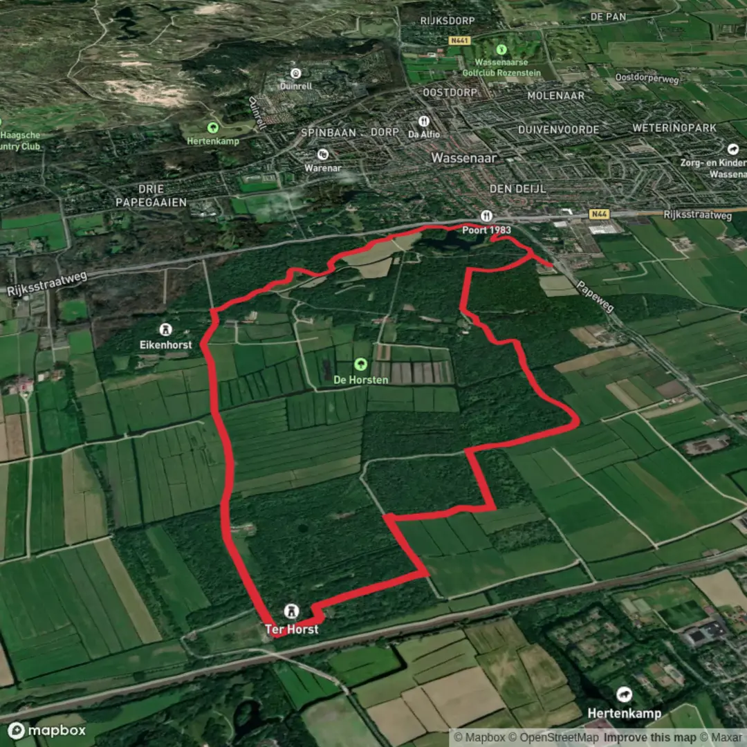
7.5 km
~1 hrs 30 min
7 m
Loop
“Stroll through Geel’s peaceful landscapes, where wildflowers, waterways, and centuries of compassion blossom together.”
Starting from the outskirts of Geel, a charming Belgian town known for its unique history of community care, this 7 km (about 4.3 miles) loop combines sections of the Marskramerpad and the Blauw Loop. With virtually no elevation gain, this easy walk is accessible to most fitness levels and is ideal for a leisurely half-day outing.
Getting There
The trailhead is conveniently located near the Geel railway station, making it easy to reach by public transport. Trains from Antwerp and other major Belgian cities arrive regularly, and the station is just a short walk from the start of the loop. For those arriving by car, parking is available at or near the station and in the town center.
Trail Overview and Navigation
The route weaves through the gentle landscapes surrounding Geel, following well-marked paths that are easy to navigate. For precise wayfinding, HiiKER provides up-to-date maps and GPS tracks, ensuring you stay on course throughout the loop.
Highlights Along the Route
Historic Geel and Community Care Tradition
Shortly after setting out, you’ll pass through the heart of Geel, a town with a remarkable legacy of caring for the mentally ill, dating back to the Middle Ages. The tradition of “family care,” where townspeople welcomed those in need into their homes, is still celebrated today. The neo-Gothic Sint-Amands Church, located near the town center, is a notable landmark worth a brief detour.
Woodlands and Open Fields
Leaving the town behind, the trail transitions into a patchwork of woodlands and open fields. The flat terrain makes for easy walking, and the landscape is dotted with wildflowers in spring and summer. Keep an eye out for local wildlife such as hares, pheasants, and a variety of songbirds. The area’s sandy soils support heathland vegetation, and you may spot patches of purple heather in late summer.
Waterways and Canals
At around the halfway point, the route skirts the banks of the Kleine Nete River, a gentle waterway that meanders through the region. This section offers peaceful views and the chance to spot waterfowl, including herons and ducks. Benches along the riverbank provide a pleasant spot for a rest or picnic.
Blauw Loop and Marskramerpad Junctions
The Blauw Loop and Marskramerpad are both part of larger long-distance trail networks. Waymarkers are frequent and clear, but using HiiKER’s navigation tools will help you track your progress and avoid any confusion at junctions, especially where the two routes briefly overlap.
Practical Considerations
The entire loop is on well-maintained paths, suitable for walking shoes or lightweight hiking boots. There are no significant climbs or descents, making it accessible for families and those seeking a gentle walk. Public toilets and cafes can be found in Geel at the start and end of the hike, but facilities are limited along the rural sections, so plan accordingly. The trail is open year-round, though some sections may be muddy after heavy rain.
This easy, scenic loop offers a blend of local history, tranquil countryside, and accessible walking, making it a rewarding outing for hikers of all ages and abilities.

Surfaces
Unknown
Asphalt
Ground
Gravel
Wood
Comments and Reviews
User comments, reviews and discussions about the Geel, Marskramerpad and Blauw Loop, Netherlands.
average rating out of 5
0 rating(s)