Download
3D Flyover
Add to list
More
16.3 km
~3 hrs 18 min
33 m
Point-to-Point
“From Wageningen’s streets into hushed beechwoods and memorial clearings, an easy, reflective wander.”
This is a mostly flat, easy-going 16 km (about 10 miles) point-to-point walk through Wageningen’s green edge: you’ll move from town streets into the wooded rise of the Wageningse Berg, then across the quieter forest character of the Maanderbos, finishing at a bike-parking area (“Fietsenstalling”) that’s typically associated with a station, campus, or major facility entrance. With roughly ~0 m / ~0 ft of total ascent as you’ve estimated, expect gentle gradients rather than sustained climbing—more “rolling park/forest paths” than “hill hike.”
Getting to the start (public transport + car)
Because the start is listed only as “near” (no coordinates provided), the most practical assumption is that you’re starting from central Wageningen—commonly around Wageningen Bus Station (Busstation Wageningen) by the town center, where most regional buses converge.
- By public transport: From Ede-Wageningen railway station, frequent buses run to Busstation Wageningen (the main bus hub for Wageningen). From there, you can walk to the start area in minutes depending on your exact meeting point.
- By car: Aim for parking near the town center or near the edge of the Wageningse Berg (depending on where your route begins). If you want a simple, reliable target, navigate to Busstation Wageningen and use nearby paid parking/garages, then start on foot.
If you share the start/end coordinates (lon/lat), I can pin each to the nearest street address or a specific landmark; without them, the best “known landmark” anchor for the start is the central bus station area.
What the route feels like underfoot
You’ll likely encounter a mix of: - Paved town paths and cycleways leaving Wageningen - Packed gravel and forest tracks on the Wageningse Berg and through Maanderbos - Occasional narrower dirt singletrack in wooded sections (often still easy, but can be slick after rain)
Even on an “easy” profile, plan for short muddy patches in shaded woodland, especially in wetter months. Footwear with decent tread is usually enough; full boots aren’t necessary unless conditions are very wet.
Wageningse Berg: woodland edge, viewpoints, and quiet memorial landscapes
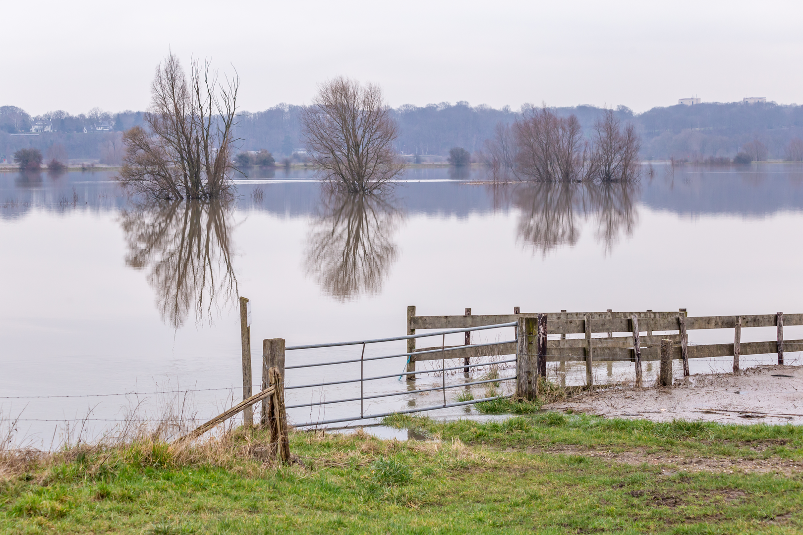
Within the first few kilometers (roughly 1–4 km / 0.6–2.5 miles, depending on your exact start), the walk transitions from built-up Wageningen into the greener, slightly elevated character of the Wageningse Berg. While your total elevation gain is listed as near zero, this area can still feel like a “rise” compared to the town—more like a gentle lift than a climb.
This part of the Netherlands carries strong WWII-era historical significance. The wider Wageningen region is closely tied to the final phase of the German occupation and the liberation period; you may pass memorial markers, commemorative sites, or interpretive signage depending on the exact alignment of your route. Treat these areas with extra respect—stay on paths, keep voices low, and avoid stepping onto planted or fenced sections.
Nature-wise, expect: - Beech and oak woodland with seasonal leaf cover - Songbirds (tits, robins, blackbirds) and woodpecker activity in mature stands - Roe deer are possible at dawn/dusk along quieter edges - In spring and early summer, woodland margins can be rich with wildflowers and insects
Maanderbos: longer forest stretches and easy navigation (with a few watch-outs)
As you continue (often around the mid-route, roughly 6–13 km / 3.7–8 miles), the character typically becomes more consistently wooded through Maanderbos. This is where the walk can feel most “away from town,” even though you’re never truly remote.
Key things to look out for here: - Intersecting cycle routes: The area is popular with cyclists. On shared tracks, keep right, listen for bells, and be predictable when stepping aside. - Forestry operations: You may see stacked logs or temporary track wear. If a section is signed as closed, don’t bypass it—use HiiKER to identify the nearest parallel path. - Seasonal wet spots: Low-lying forest sections can hold water. After rain, expect puddles and soft edges; step on the firmest line to avoid widening the trail.
If you’re navigating, use HiiKER to confirm junction choices—forest grids can look similar, and it’s easy to take a “nearly parallel” track that slowly drifts off-route.
Landmarks and “human geography” you’ll notice
Even without steep terrain, this walk is rich in “place”: - The transition from university-town energy (Wageningen is strongly shaped by Wageningen University & Research) into quieter green corridors - Dutch path infrastructure: well-maintained multi-use tracks, clear crossings, and frequent connections between neighborhoods, woods, and fields - Occasional openings at woodland edges where you’ll get a sense of the broader Gelderland landscape—fields, hedgerows, and distant tree lines
Wildlife, ticks, and other practical cautions
- Ticks: Common in Dutch woodland and grassy edges in warmer months. Wear long socks, consider repellent, and do a tick check after the hike.
- Dogs: Many paths allow dogs; some areas may require leashes (especially near sensitive habitat). Expect to pass dog walkers.
- Deer and small mammals: Roe deer, rabbits, and squirrels are plausible sightings; keep food packed away and don’t approach wildlife.
- Low-light conditions under canopy: Even

Surfaces
Unknown
Sand
Asphalt
Dirt
Concrete
Ground
Gravel
Comments and Reviews
User comments, reviews and discussions about the Wageningen to Fietsenstalling via Wageningse Berg and Maanderbos, Netherlands.
average rating out of 5
0 rating(s)