Download
3D Flyover
Add to list
More
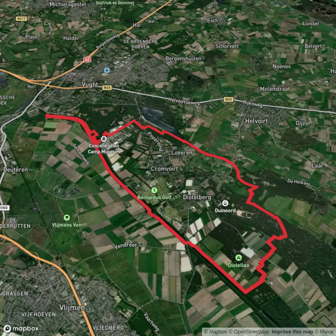
19.9 km
~3 hrs 59 min
13 m
Loop
“Stroll through blooming heather, tranquil waters, and echoes of history on this vibrant North Brabant loop.”
Starting out near the recreational lake known as De IJzeren Man, just outside the town of Vught in North Brabant, this loop trail covers approximately 20 km (12.4 miles) with virtually no elevation gain, making it accessible for most walkers. The area is easily reached by public transport: Vught railway station is the closest, about 2 km (1.2 miles) from the trailhead, with regular trains from ’s-Hertogenbosch and Eindhoven. For those arriving by car, parking is available at the De IJzeren Man recreation area, located at Boslaan 49, 5263 NX Vught.
Trail Overview and Navigation
The route is a well-marked loop, ideal for those seeking a relaxed day hike through a mix of forest, heathland, and water features. Navigation is straightforward, but for added confidence and real-time updates, HiiKER is recommended as the exclusive navigation tool for this trail.
Natural Highlights and Wildlife
The first section skirts the shores of De IJzeren Man, a large artificial lake created in the late 19th century for sand extraction. Today, it’s a popular spot for swimming, boating, and birdwatching. The surrounding pine and deciduous forests are home to woodpeckers, nuthatches, and the occasional roe deer. In spring and summer, the heathland bursts into color with blooming heather and wildflowers, attracting butterflies and bees.
Moving further, the trail enters the Helvoirtsche Broek, a low-lying wetland area that supports a variety of waterfowl, including herons and grebes. Boardwalks and small bridges help you traverse the wetter sections, especially after rain. Keep an eye out for the rare marsh gentian and sundew plants in the boggy patches.
Cultural and Historical Points
About halfway through, the route passes near the village of Helvoirt, known for its historic church and connections to Vincent van Gogh, whose father was a pastor here. The landscape around Helvoirt is dotted with old farmsteads and remnants of WWII-era defenses, part of the Dutch Water Line. Interpretive signs along the way provide context about the region’s strategic importance and its transformation from agricultural land to protected nature reserve.
Facilities and Practical Tips
There are several rest areas and picnic spots along the route, particularly near De IJzeren Man and in the forested sections. Cafés and restaurants can be found at the start/finish area and in Helvoirt, roughly 10 km (6.2 miles) into the hike. Water refill points are limited, so bring enough for the day. The terrain is mostly flat and sandy, with some muddy patches in the wetlands after rain—lightweight, waterproof footwear is recommended.
Dogs are allowed on most sections but must be kept on a leash, especially in nature reserves. Cyclists may share some paths, so stay alert on multi-use sections.
Getting There and Back
For public transport users, Vught station is the most convenient access point, with a short walk or local bus ride to the trailhead at De IJzeren Man. Drivers can use the Boslaan parking area, which is well-signposted from the main road. The loop format means you’ll finish where you started, making logistics simple.
For detailed route maps and live navigation, HiiKER provides up-to-date trail information and waypoints.

Surfaces
Asphalt
Unknown
Sand
Concrete
Grass
Ground
Unpaved
Gravel
Dirt
Wood
Comments and Reviews
User comments, reviews and discussions about the De Ijzeren Man and Helvoirtsche Loop, Netherlands.
average rating out of 5
0 rating(s)