Download
3D Flyover
Add to list
More
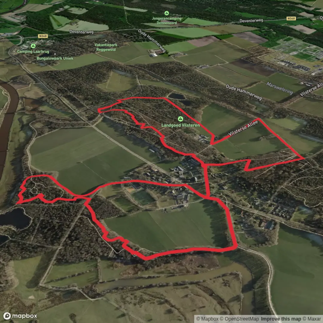
7.0 km
~1 hrs 23 min
0 m
Loop
“Stroll through blooming meadows, ancient farmsteads, and tranquil woods in the heart of Twente’s countryside.”
Nestled in the tranquil countryside near Diepenheim in the eastern Netherlands, this 7 km (about 4.3 miles) loop offers a gentle, flat walk with virtually no elevation gain, making it accessible for hikers of all abilities. The trailhead is conveniently located near the historic Erve De Bode farmstead, a recognizable landmark just outside the village, and is easily reached by car via the N346 or by public transport with regular bus connections from Goor or Hengelo to Diepenheim, followed by a short walk to the starting point.
Getting Oriented and Navigation
The route is well-marked, but for added confidence and real-time navigation, HiiKER provides detailed maps and GPS guidance. The loop is circular, so you’ll return to your starting point without retracing your steps.
Scenery and Landmarks
The landscape is quintessentially Dutch, with broad meadows, hedgerows, and small patches of woodland. Early in the hike, you’ll pass the Molenesch, an open field historically used for communal grazing and agriculture. This area is especially picturesque in spring and summer when wildflowers bloom and the grasslands are alive with butterflies and bees.
At approximately 2 km (1.2 miles), you’ll skirt the edge of a small forested area, home to native birds such as woodpeckers, nuthatches, and the occasional tawny owl. Keep an eye out for roe deer grazing at dawn or dusk. The trail then meanders past several traditional Saxon farmhouses, their timber frames and thatched roofs offering a glimpse into the region’s rural heritage.
Historical and Cultural Highlights
Diepenheim is known for its stately homes and castles, and while this loop doesn’t pass directly by any of the major estates, you’ll notice the influence of these historic properties in the well-maintained farmland and tree-lined avenues. The Erve De Bode farmstead itself dates back several centuries and is a fine example of Twente’s agricultural architecture.
Trail Conditions and Practical Tips
The path is mostly unpaved but well-maintained, suitable for walking shoes or lightweight hiking boots. Because the terrain is flat, it’s also popular with families and those seeking a leisurely stroll. There are no steep sections or technical challenges, and the total elevation gain is negligible—less than a meter (about 3 feet) over the entire loop.
Benches are scattered along the route, particularly near scenic viewpoints and under mature oaks, providing pleasant spots for a rest or picnic. There are no dedicated facilities on the trail itself, but Diepenheim offers cafés, restrooms, and shops for supplies before or after your walk.
Wildlife and Nature
The area is rich in birdlife, especially during migration seasons. In addition to common songbirds, you may spot buzzards circling overhead or hares darting through the fields. The hedgerows and small ponds attract frogs, newts, and dragonflies, adding to the biodiversity of the region.
Access and Transport
For those arriving by car, parking is available near Erve De Bode, just off the main road leading into Diepenheim. Public transport users can take a train to Goor or Hengelo, then transfer to a local bus toward Diepenheim. From the village center, it’s a short, well-signposted walk to the trailhead.
For navigation and up-to-date trail conditions, consult HiiKER before setting out. This loop is a peaceful, scenic introduction to the Dutch countryside, ideal for a half-day outing in any season.

Surfaces
Unknown
Ground
Sand
Grass
Unpaved
Dirt
Concrete
Comments and Reviews
User comments, reviews and discussions about the Molenesch and Erve De Bode Loop, Netherlands.
average rating out of 5
0 rating(s)