Download
3D Flyover
Add to list
More
6.0 km
~1 hrs 24 min
126 m
Loop
“Winding through forests, meadows, and ancient ruins, this loop trail dazzles with nature and history.”
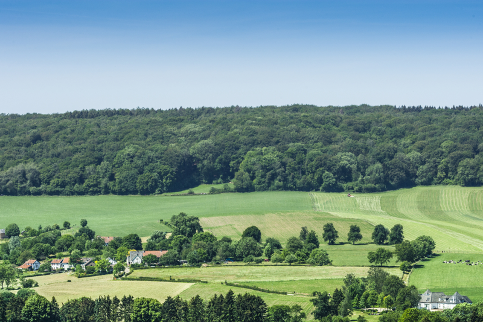
The Vernelsbergh and Termoere Loop is a scenic 6-kilometer (approximately 3.7-mile) trail with an elevation gain of about 100 meters (328 feet), offering a moderately challenging experience for hikers.
Trailhead Location and Access
The trailhead is situated near [insert nearest known address or significant landmark]. For those traveling by car, parking is available at [insert parking details]. If using public transportation, [insert public transport options and directions].
Trail Overview
Starting from the trailhead, the path gently ascends through a mixed forest of deciduous and coniferous trees, providing ample shade and a serene atmosphere. After approximately 1.5 kilometers (0.9 miles), the trail opens up to a meadow, offering panoramic views of the surrounding countryside.
Key Landmarks and Points of Interest
Vernelsbergh Summit: At around the 3-kilometer (1.9-mile) mark, hikers reach the summit of Vernelsbergh. This vantage point offers expansive views of the valley below and is an excellent spot for a rest or picnic.
Termoere Creek: Descending from the summit, the trail follows alongside Termoere Creek for about 1 kilometer (0.6 miles). The gentle sounds of flowing water and the lush vegetation create a tranquil hiking experience.
Flora and Fauna
The area is rich in biodiversity. Depending on the season, hikers may encounter wildflowers such as bluebells and primroses. Birdwatchers can look out for species like the European robin and the great spotted woodpecker. Deer sightings are also common in the early mornings or late afternoons.
Historical Significance
The region has a storied past, with remnants of ancient settlements dating back to the Bronze Age. Along the trail, particularly near the 4.5-kilometer (2.8-mile) point, hikers can observe stone foundations believed to be the remains of early dwellings.
Trail Conditions and Recommendations
The path is well-maintained but can become muddy after rainfall, so appropriate footwear is recommended. There are a few steep sections, particularly during the ascent to Vernelsbergh Summit, which may require careful footing.
Navigation
To ensure accurate navigation and to stay on the designated path, hikers are encouraged to use the HiiKER app, which provides detailed maps and real-time trail information.
Safety and Etiquette
Weather: Check the local weather forecast before embarking, as conditions can change rapidly.
Leave No Trace: Carry out all trash and respect the natural environment.
Wildlife: Maintain a safe distance from any animals encountered and do not feed them.
By preparing adequately and respecting the trail and its surroundings, hikers can fully enjoy the natural beauty and historical richness of the Vernelsbergh and Termoere Loop.

Surfaces
Asphalt
Gravel
Unknown
Dirt
Ground
Grass
Sand
Wood
Paved
Concrete
Comments and Reviews
User comments, reviews and discussions about the Vernelsbergh and Termoere Loop, Netherlands.
average rating out of 5
0 rating(s)