Download
3D Flyover
Add to list
More
59.7 km
~2 days
19 m
Multi-Day
“A wind-swept, reed-lined lakes loop from Haarlem to island-dotted waters—flat yet quietly demanding.”
This is a long, flat “Hollandse plassen” circuit through the watery heart of North & South Holland: reed-fringed urban nature at Meerwijkplas, then big open lake views around the Kagerplassen, and finally the island-dotted Westeinderplassen near Aalsmeer. Expect almost no climbing (about 0 m / 0 ft total gain), but plenty of exposure to wind, long stretches on dikes and towpaths, and frequent bridges/canals.
Distance & effort - ~60 km / ~37 mi total - Elevation gain: ~0 m / 0 ft - Difficulty: Easy by terrain, but endurance-heavy because it’s long and can be windy and wet underfoot.
Where to start (nearest landmark / address) “Meerwijkplas” is in Haarlem-Schalkwijk. A practical start point with clear access is near Meerwijkplas / Poelbroekpark, Haarlem (Schalkwijk)—use the park entrances around the Meerwijkplas area as your meeting point. If you want a very “pin-able” landmark for planning, aim for the Schalkwijk district of Haarlem near the Meerwijkplas greenbelt (parks and paths ring the water).
Getting to the start (car + public transport)
By public transport (from Haarlem area): - Take a train to Haarlem station, then use local buses toward Haarlem-Schalkwijk (Schalkwijk is a major residential district with frequent service). From the bus stop area, it’s typically a short walk into the Meerwijkplas/park paths.
By car: - Drive into Haarlem-Schalkwijk and park near the residential edges and park access points around Meerwijkplas/Poelbroekpark. Choose legal street parking or designated lots; this is an urban-edge nature area, so parking rules can vary by block.
(For on-trail navigation, load the loop in HiiKER and keep an eye on where the route uses dikes, towpaths, and any ferry/bridge crossings.)
What the route feels like, section by section
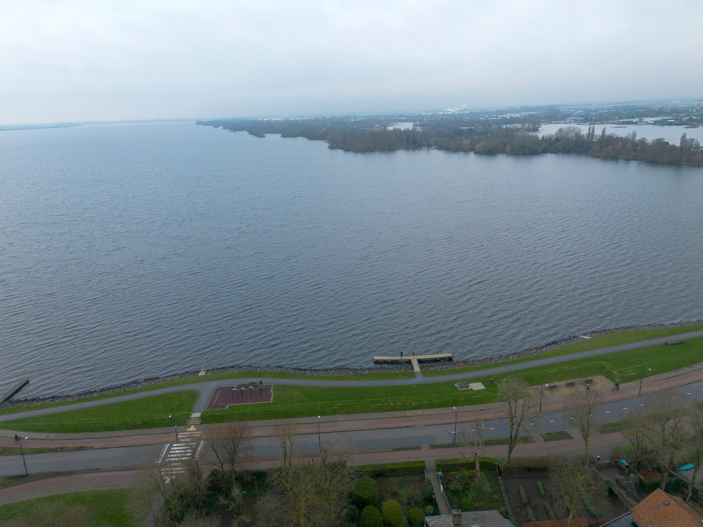
0–8 km / 0–5 mi: Meerwijkplas and the Schalkwijk greenbelt You begin in a surprisingly rich pocket of urban nature: reedbeds, wet meadows, and sheltered water edges. The walking is easy—mostly paved paths and compacted gravel—with short muddy patches after rain where the ground stays saturated.
Wildlife is one of the highlights here. The Meerwijkplas area is known for marsh and reedbed birds; keep your eyes and ears open for species that favor dense reeds and wet margins, and scan the water for ducks and geese. In spring and summer, the banks and grasslands can be flower-rich, and in well-managed meadows you may spot wild orchids in season. (ivn.nl)
8–30 km / 5–19 mi: Dikes, canals, and the approach toward the Kagerplassen As you leave the city edge, the landscape opens into classic Dutch polder geometry: straight canals, long sightlines, and big skies. Underfoot you’ll alternate between: - Dike-top paths (often exposed to wind) - Towpaths beside canals (can be narrow with cyclists) - Farm access lanes and quiet roads
This is where the “flat doesn’t mean effortless” lesson shows up: a headwind can make the middle third feel like a steady grind. Plan food and water as if it were a hillier hike—because the time-on-feet is the real challenge.
30–45 km / 19–28 mi: Kagerplassen lake district
The Kagerplassen (Kaag Lakes) are a fen-lake system northeast of Leiden, famous for boating and watersports. You’ll get wide water views, sailboats, and a mosaic of channels and islands. (en.wikipedia.org)
Paths here can feel more “edge-of-water” than earlier sections—expect more bridges, occasional narrow causeways, and busier shared-use segments on good-weather days.
If your loop uses any small seasonal foot-ferries in this region, double-check operating times in HiiKER before committing—otherwise you may need a detour to the nearest fixed bridge.
45–60 km / 28–37 mi: Westeinderplassen and Aalsmeer’s island waters The Westeinderplassen are defined by hundreds of small islands and a long history of peat extraction, which created many of the lakes and ponds in this part of Holland over centuries. (en.wikipedia.org

Surfaces
Asphalt
Unknown
Paved
Comments and Reviews
User comments, reviews and discussions about the Meerwijkplas, Kagerplassen and Westeinderplassen Loop, Netherlands.
average rating out of 5
0 rating(s)