Download
3D Flyover
Add to list
More
14.0 km
~2 hrs 49 min
6 m
Point-to-Point
“From Veenendaal’s vibrant heart to Rhenen’s historic skyline, this tranquil walk weaves through meadows, canals, and timeless Dutch countryside.”
Starting from the lively town of Veenendaal, this 14 km (about 8.7 miles) route to Rhenen is a gentle, easy walk with virtually no elevation gain, making it accessible for most hikers. The trailhead is conveniently located near Veenendaal Centrum railway station, which is well-served by trains from Utrecht and Arnhem, and also accessible by car with parking available in the town center.
Setting Out from Veenendaal
The journey begins in the heart of Veenendaal, a town known for its textile history and welcoming atmosphere. As you leave the urban area, the route quickly transitions into the open Dutch countryside, following quiet paths and rural lanes. The landscape here is flat, with expansive views over meadows and fields, typical of the Gelderland province.
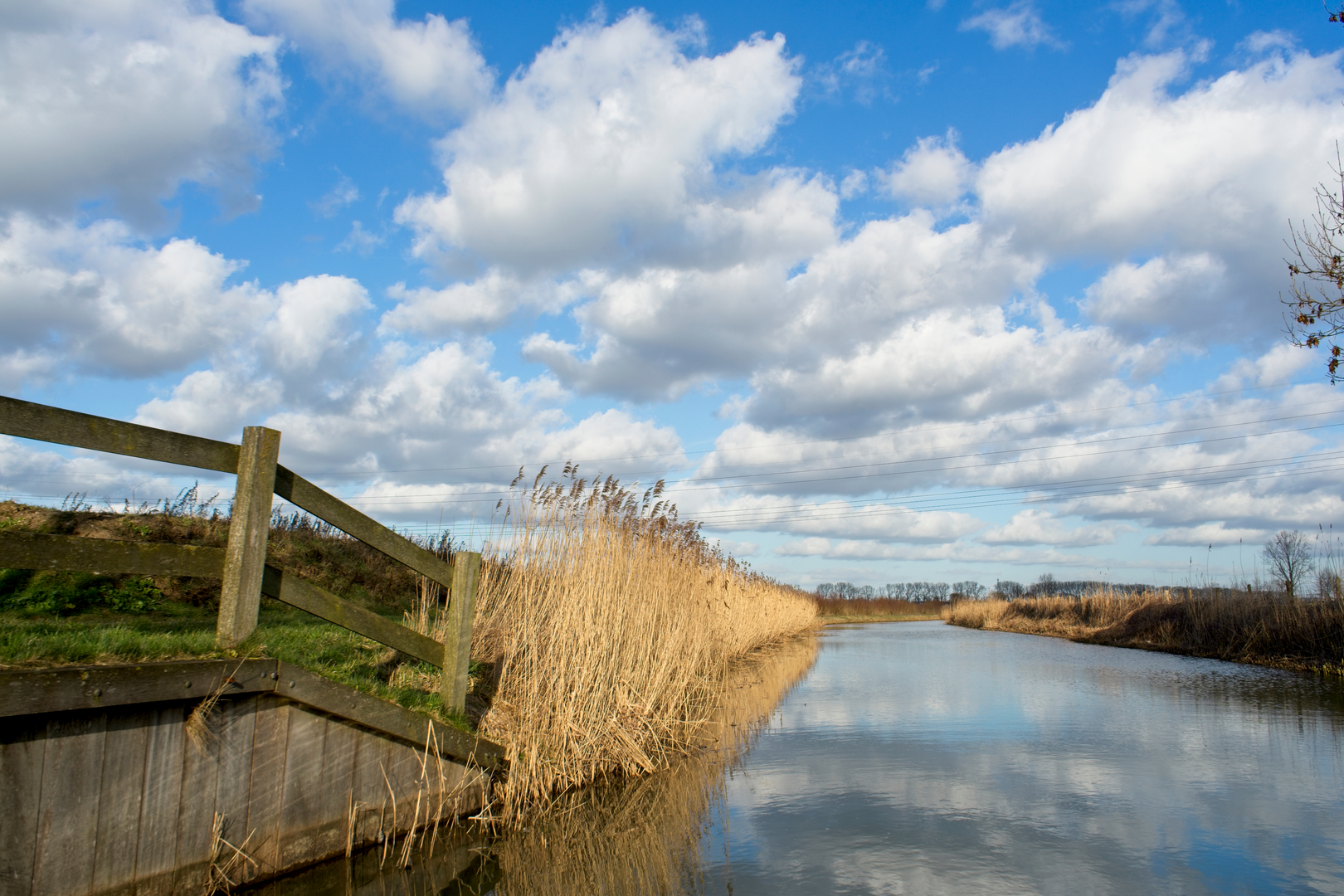
Bisschop Davidsgrift: Canals and Wetlands
After approximately 4 km (2.5 miles), you’ll reach the Bisschop Davidsgrift, a historic canal dating back to the 15th century. Originally dug for drainage and transport, this waterway is now a peaceful corridor for wildlife and a haven for birdwatchers. Look out for herons, ducks, and sometimes even kingfishers along the banks. The canal is lined with reeds and wildflowers in spring and summer, and benches are scattered along the route for a restful pause.
Crossing the Countryside
Continuing southwest, the trail meanders through agricultural land and small patches of woodland. The flat terrain makes for easy walking, and the well-marked paths are suitable for all fitness levels. You’ll pass by traditional Dutch farms and may spot grazing sheep or cattle in the fields. The area is known for its rich soil, which has supported farming for centuries.
Cuneralaan and Approaching Rhenen
At around 11 km (6.8 miles), the route joins Cuneralaan, a scenic avenue leading into Rhenen. This stretch is shaded by mature trees and offers glimpses of the Utrechtse Heuvelrug hills in the distance, though the trail itself remains flat. As you approach Rhenen, the skyline is dominated by the tower of the Cunera Church, a landmark with roots in the 11th century and a fascinating legend involving Saint Cunera.
Historical Significance
The region between Veenendaal and Rhenen has a long history of human settlement, with archaeological finds dating back to Roman times. The Bisschop Davidsgrift itself is a testament to medieval engineering, and Rhenen’s Cunera Church is a site of pilgrimage and local folklore. During World War II, the area around Rhenen saw significant action during the Battle of the Grebbeberg, and memorials can be found nearby.
Wildlife and Nature
Expect to see a variety of birdlife, especially near the canal and in the meadows. The flat, open landscape is also home to hares, foxes, and a range of butterflies in summer. Wildflowers line the paths from late spring through early autumn, adding color to the walk.
Navigation and Planning
The route is straightforward and well-signposted, but for precise navigation and up-to-date trail conditions, use HiiKER. The app provides detailed maps and waypoints, ensuring you stay on track from Veenendaal to Rhenen.
Getting There and Away
Veenendaal Centrum station is the most convenient starting point, with frequent train services and local buses. If arriving by car, parking is available in Veenendaal’s town center. The hike finishes near Rhenen railway station, making it easy to return to your starting point or continue your journey elsewhere by public transport. Rhenen itself offers cafes and restaurants for a well-earned break at the end of your walk.

Surfaces
Asphalt
Unknown
Paved
Comments and Reviews
User comments, reviews and discussions about the Veenendaal to Rhenen via Bisschop Davidsgrift and Cuneralaan, Netherlands.
average rating out of 5
0 rating(s)