Download
3D Flyover
Add to list
More
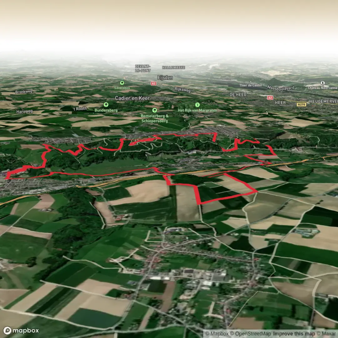
17.1 km
~3 hrs 45 min
201 m
Loop
“From castle ruins to blooming meadows, this scenic loop reveals Limburg’s timeless charm and natural wonders.”
Begin your journey in the charming town of Valkenburg, a place renowned for its medieval castle ruins and limestone caves. The trailhead is conveniently located near Valkenburg’s train station, making it easily accessible by public transport from Maastricht or Heerlen. If arriving by car, parking is available at the station or in the town center.
Setting Out from Valkenburg
The loop covers approximately 17 km (about 10.5 miles) with a gentle elevation gain of around 200 meters (650 feet), making it suitable for most walkers. The route quickly leaves the bustle of Valkenburg behind, winding through rolling hills and lush meadows characteristic of the Limburg region. Early on, you’ll pass the Geul River, a lifeline for local wildlife such as kingfishers and herons, and a favorite spot for wildflowers in spring and summer.
Historic Sites and Natural Beauty
About 3 km (1.8 miles) in, the trail skirts the edge of Valkenburg Castle, the only hilltop castle in the Netherlands, dating back to the 11th century. The ruins are a testament to the region’s turbulent medieval history and offer panoramic views over the Geul Valley. Continuing south, the path enters the Krijtland (Chalkland) region, named for its distinctive white limestone outcrops. Here, you’ll notice the landscape shift to undulating fields and orchards, with occasional glimpses of traditional half-timbered farmhouses.
Meerssen and the Basilica
At roughly the halfway point, around 8.5 km (5.3 miles), you’ll reach Meerssen, a small town famous for the Basilica of the Holy Sacrament. This Gothic church, with its intricate stained glass and centuries-old crypt, is a highlight for history enthusiasts. The town itself is a pleasant place to rest, with cafés and bakeries offering local Limburgse vlaai (fruit tart).
Wildlife and Scenic Vistas
Leaving Meerssen, the trail climbs gently through beech and oak woodlands, home to deer, foxes, and a variety of songbirds. In spring, the forest floor is carpeted with wild garlic and bluebells. The highest point of the hike, at about 12 km (7.5 miles), provides sweeping views across the Krijtland hills, dotted with grazing sheep and patchwork fields.
Returning to Valkenburg
The final stretch descends gradually back toward Valkenburg, passing through the hamlet of Houthem and the protected Ingendael nature reserve. This area is known for its calcareous grasslands, rare orchids, and grazing Galloway cattle, which help maintain the biodiversity of the landscape.
Navigation and Preparation
The entire loop is well-marked, but for added confidence, use HiiKER for up-to-date trail maps and navigation. Sturdy walking shoes are recommended due to occasional muddy sections, especially after rain. Bring water and snacks, though there are opportunities to refuel in Valkenburg and Meerssen. Weather in Limburg can be changeable, so pack a light rain jacket.
Public transport connections make it easy to return to your starting point, and the proximity to Valkenburg’s amenities ensures a comfortable end to your hike.

Surfaces
Unknown
Dirt
Asphalt
Gravel
Unpaved
Grass
Wood
Comments and Reviews
User comments, reviews and discussions about the Valkenburg, Meerssen and Krijtlandpad Loop, Netherlands.
average rating out of 5
0 rating(s)