Download
3D Flyover
Add to list
More
28.1 km
~5 hrs 38 min
16 m
Loop
“Wander through serene woodlands, purple heath, and storied hills on a tranquil Dutch borderland loop.”
Starting from the outskirts of Gennep, a small Dutch town near the German border, this 28 km (about 17.4 miles) loop trail offers a gentle, flat walk through the lush landscapes of Landgoed, De Motketel, and Galgenberg. With virtually no elevation gain, this route is accessible for most walkers and is ideal for those seeking a long, easy day hike through a mix of woodland, heath, and open farmland.
Getting There
The trailhead is conveniently located near Gennep, which is easily accessible by both car and public transport. If arriving by train, the nearest major station is in Nijmegen, from where you can catch a regional bus (such as Arriva line 83) to Gennep’s bus station. From there, it’s a short walk to the start point near the intersection of Niersenseweg and Langeweg. For drivers, parking is available in Gennep, particularly near the town center or at designated trailhead parking areas.
Trail Overview and Navigation
The route follows a well-marked path, but carrying a digital map on HiiKER is recommended for real-time navigation and to ensure you stay on course, especially at trail junctions or when passing through forested sections. The terrain is predominantly flat, with well-maintained paths suitable for all fitness levels.
Landmarks and Points of Interest
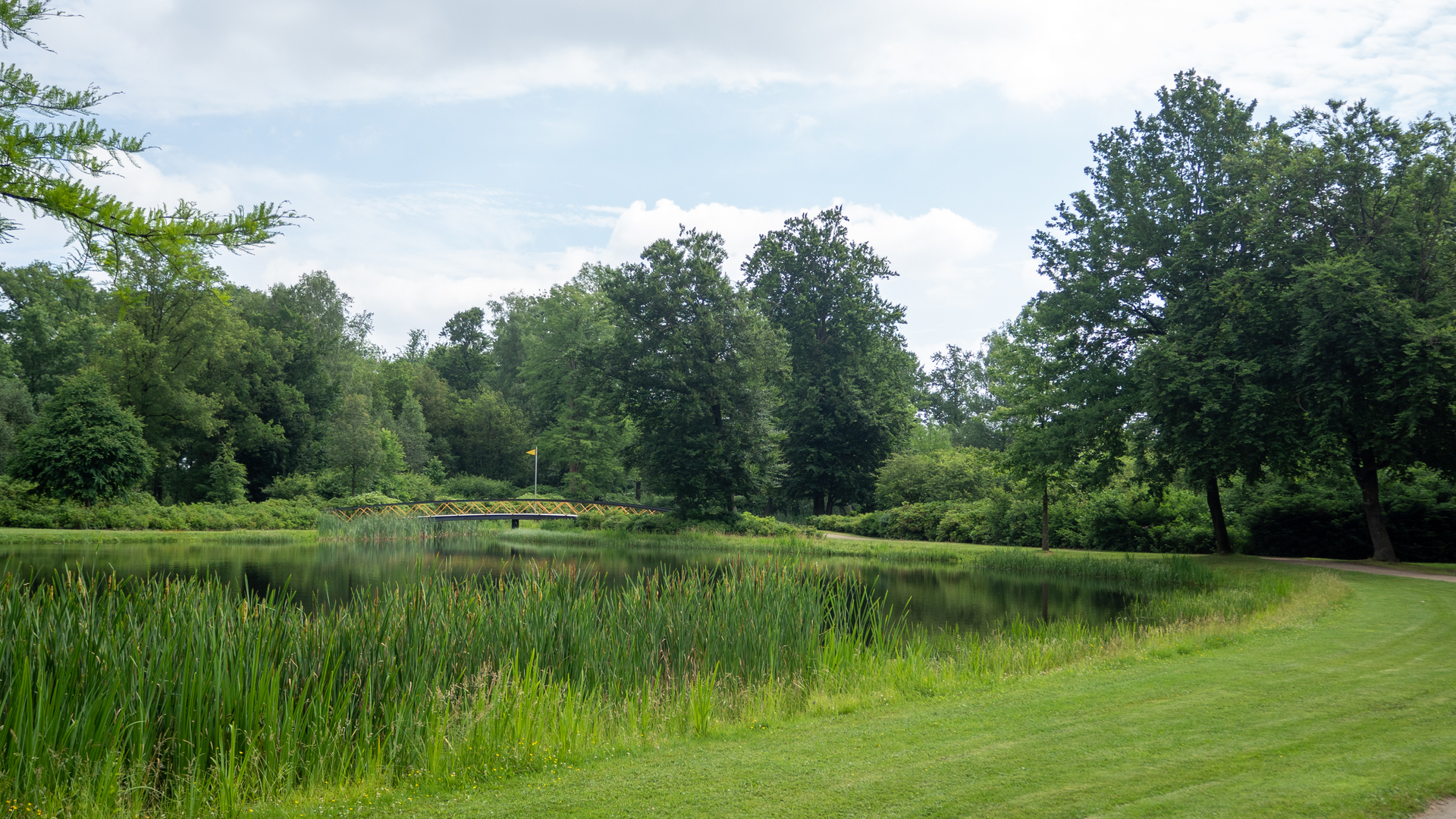
Landgoed and De Motketel: Early in the hike, you’ll traverse the Landgoed estate, a patchwork of mixed woodland and open fields. The area is known for its stately trees and occasional glimpses of deer or foxes. De Motketel, a nature reserve, is characterized by its wet meadows and reed beds, which attract a variety of birdlife, including herons and storks. Spring and early summer are particularly rewarding for birdwatchers.
Galgenberg: Roughly halfway through the loop, you’ll reach Galgenberg, a low, wooded rise whose name translates to “Gallows Hill.” Historically, this site was used for public executions in the Middle Ages, and local folklore still lingers in the area. Today, it’s a peaceful spot, with mature beech and oak trees providing shade and a sense of quiet seclusion.
Heathlands and Farmland: The trail alternates between stretches of heath, where purple heather blooms in late summer, and open farmland dotted with traditional Dutch farmhouses. The flat landscape allows for wide views, and on clear days, you can see across the border into Germany.
Nature and Wildlife
The route is rich in biodiversity. In addition to the birdlife in De Motketel, you may spot rabbits, hares, and a variety of butterflies along the hedgerows. The woodlands are home to woodpeckers and tawny owls, while the open fields often host grazing sheep and cattle.
Facilities and Refreshments
There are limited facilities directly on the trail, so it’s advisable to bring sufficient water and snacks for the day. Gennep offers several cafes and bakeries, perfect for a pre- or post-hike meal. Public toilets can be found in the town center.
Planning Tips
- The entire loop is approximately 28 km (17.4 miles) with negligible elevation gain, making it suitable for a full-day outing.
- Wear comfortable walking shoes, as the paths can be muddy after rain, especially in the nature reserve sections.
- Use HiiKER for up-to-date trail maps and navigation.
- Check local bus schedules if relying on public transport, as rural services may be infrequent, especially on weekends.
This hike offers a blend of natural beauty, local history, and tranquil countryside, making it a rewarding choice for those seeking a peaceful, scenic walk in the Dutch-German borderlands.

Surfaces
Unknown
Asphalt
Gravel
Sand
Ground
Concrete
Unpaved
Wood
Dirt
Comments and Reviews
User comments, reviews and discussions about the Landgoed, De Motketel and Galgenberg via Niersense Weg and Lange Weg, Netherlands.
average rating out of 5
0 rating(s)