Download
3D Flyover
Add to list
More
14.0 km
~2 hrs 49 min
12 m
Point-to-Point
“From Utrecht’s bustling heart to Bilthoven’s serene woods, this walk unfolds a patchwork of parks, meadows, and lakes alive with history and wildlife.”
Starting from Utrecht Centraal, one of the Netherlands’ busiest and most accessible train stations, this 14 km (about 8.7 miles) route to Bilthoven is a flat, easy walk that weaves through the green heart of Utrecht province. The trailhead is just outside the main station entrance, making it ideal for those arriving by train or bus. For drivers, parking is available at several garages near the station, though public transport is highly recommended due to Utrecht’s central location and excellent connections.
Urban Departure and Transition to Green Spaces
Leaving the city bustle behind, the route quickly transitions from Utrecht’s lively urban core to quieter residential neighborhoods. Within the first 2 km (1.2 miles), you’ll pass through the leafy Wilhelminapark, a popular local spot with elegant landscaping and historic villas dating back to the late 19th century. This park is a great place to pause and admire the blend of city and nature before continuing eastward.
Hoogekampse Pad and Hooge Kampse Plas
After about 4 km (2.5 miles), the trail joins the Hoogekampse Pad, a well-marked path that threads through the rural outskirts of Utrecht. Here, the scenery shifts to open meadows, small woodlands, and the occasional farmstead. The area is known for its birdlife, especially in spring and autumn, when migratory species frequent the fields and waterways. Keep an eye out for herons, storks, and the occasional deer grazing at the forest edge.
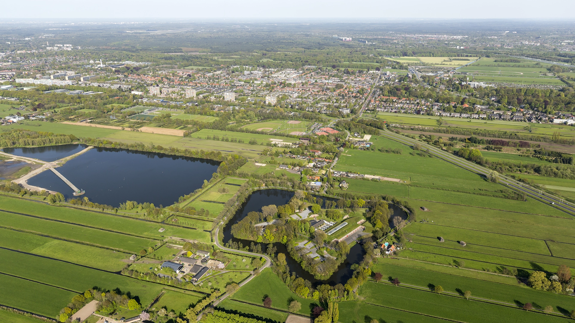
At approximately 7 km (4.3 miles), you’ll reach Hooge Kampse Plas, a serene lake surrounded by reed beds and wildflowers. This is a highlight for nature lovers, offering opportunities to spot waterfowl and enjoy the tranquil atmosphere. Benches along the lakeshore provide a perfect spot for a break or picnic. The lake and its surroundings are part of a protected nature reserve, so stick to marked paths and respect local wildlife.
Historical and Cultural Context
The region between Utrecht and Bilthoven has a rich history, with evidence of human settlement dating back to Roman times. The landscape you traverse was shaped by centuries of agriculture and water management, typical of the Dutch lowlands. Old drainage ditches and canals, some still in use, crisscross the fields, reflecting the ongoing relationship between people and water in this part of the Netherlands.
Final Stretch to Bilthoven
The last 4 km (2.5 miles) lead you through quiet woodland and heath, gradually approaching the outskirts of Bilthoven. This area is known for its stately homes and garden villages, developed in the early 20th century as retreats for Utrecht’s wealthy residents. The trail ends near Bilthoven station, where frequent trains and buses can take you back to Utrecht or onward to other destinations.
Navigation and Preparation
The entire route is flat, with negligible elevation gain (0 metres/0 feet), making it suitable for all fitness levels. Surfaces range from paved city streets to well-maintained dirt paths and gravel tracks. Waterproof footwear is advisable in wet weather, as some sections near the lake can be muddy. For navigation, HiiKER provides detailed maps and waypoints, ensuring you stay on track throughout the journey.
Refreshments and restrooms are available at both Utrecht Centraal and Bilthoven stations, with additional options in Wilhelminapark and at several cafes along the way. The trail is accessible year-round, though spring and early summer offer the best conditions for wildlife viewing and wildflowers.

Surfaces
Unknown
Asphalt
Dirt
Concrete
Gravel
Wood
Comments and Reviews
User comments, reviews and discussions about the Utrecht Centraal to Bilthoven via Hoogekampse Pad and Hooge Kampse Plas, Netherlands.
average rating out of 5
0 rating(s)