Download
3D Flyover
Add to list
More
16.8 km
~3 hrs 22 min
6 m
Loop
“Wander through Utrecht’s northern parklands, where history, water, and wildlife create a vibrant outdoor tapestry.”
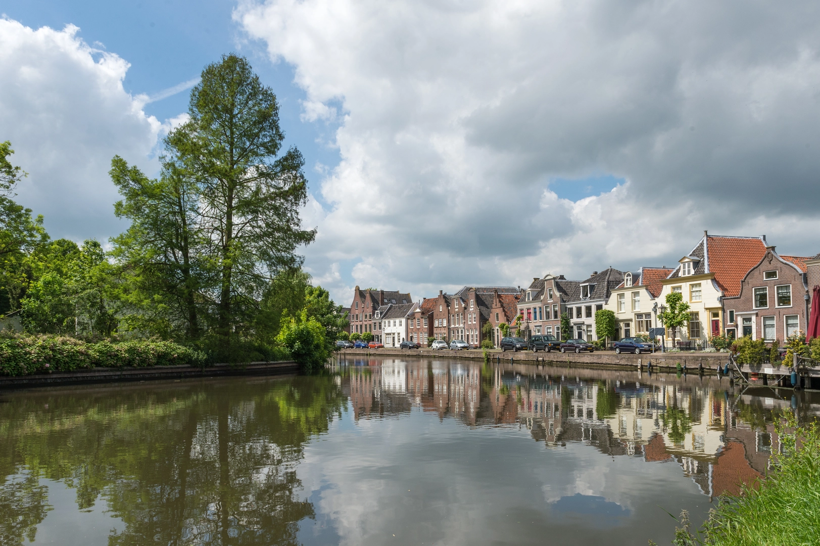
Starting from the northern edge of Utrecht, this 17 km (about 10.5 miles) loop hike begins near Fort de Gagel, a historic fortification within the Noorderpark Ruigenhoek. The trail is almost entirely flat, with negligible elevation gain, making it accessible for hikers of all abilities and ideal for those seeking a leisurely day outdoors.
Getting There
The trailhead is easily reached by public transport from Utrecht Centraal. Take bus 3 or 7 towards Overvecht and alight at the Gageldijk stop, which is a short walk from Fort de Gagel. For those arriving by car, parking is available at the Noorderpark Ruigenhoek parking area on Gageldijk, close to the fort.
Route Overview and Navigation
The loop takes you through a mosaic of landscapes, including historic military sites, tranquil lakes, and lush parkland. Navigation is straightforward, with well-marked paths and signage throughout Noorderpark Ruigenhoek. For precise route guidance and waypoints, HiiKER provides a detailed digital map of the loop.
Fort de Gagel and the New Dutch Waterline
Early in the hike, you’ll encounter Fort de Gagel, a 19th-century fort that forms part of the New Dutch Waterline, a UNESCO World Heritage site. This defensive line was designed to protect the Netherlands by controlled flooding, and Fort de Gagel is one of the best-preserved examples. The fort itself is now a cultural venue, with occasional exhibitions and a café, making it a worthwhile stop.
Nature and Wildlife
After leaving the fort, the trail meanders through Noorderpark Ruigenhoek, a vast green space known for its biodiversity. The route passes both the Grote Plas and Kleine Plas, two serene lakes that attract a variety of birdlife, including herons, grebes, and sometimes kingfishers. The lakeshores are lined with reeds and wildflowers in spring and summer, and benches along the way offer peaceful spots for birdwatching or a picnic.
Landmarks and Points of Interest
- At approximately 4 km (2.5 miles), the path skirts the edge of the Grote Plas, offering panoramic views across the water and opportunities to spot waterfowl.
- Around the halfway mark, you’ll reach the Kleine Plas, a smaller lake surrounded by woodland and meadows. This area is quieter and ideal for those seeking solitude.
- The trail also passes several remnants of the old polder landscape, with drainage ditches and traditional Dutch windmills visible in the distance.
Trail Conditions and Facilities
The paths are mostly gravel or paved, suitable for walking year-round and accessible for strollers or wheelchairs. There are several rest areas and picnic tables along the route, particularly near the lakes and at Fort de Gagel. Toilets and refreshments are available at the fort and at the main park entrance.
Planning Tips
Bring binoculars for birdwatching, especially in spring and autumn when migratory birds are present. Dogs are allowed on leash, and there are designated off-leash areas within the park. Cyclists also use some sections of the trail, so be mindful at junctions.
For up-to-date trail conditions, route changes, or downloadable maps, consult HiiKER before setting out.

Surfaces
Unknown
Asphalt
Dirt
Gravel
Paved
Wood
Cobblestone
Comments and Reviews
User comments, reviews and discussions about the Marnixtaan, Fort de Gagel, Grote Plas and Kleine Plas Loop, Netherlands.
average rating out of 5
0 rating(s)