Download
3D Flyover
Add to list
More
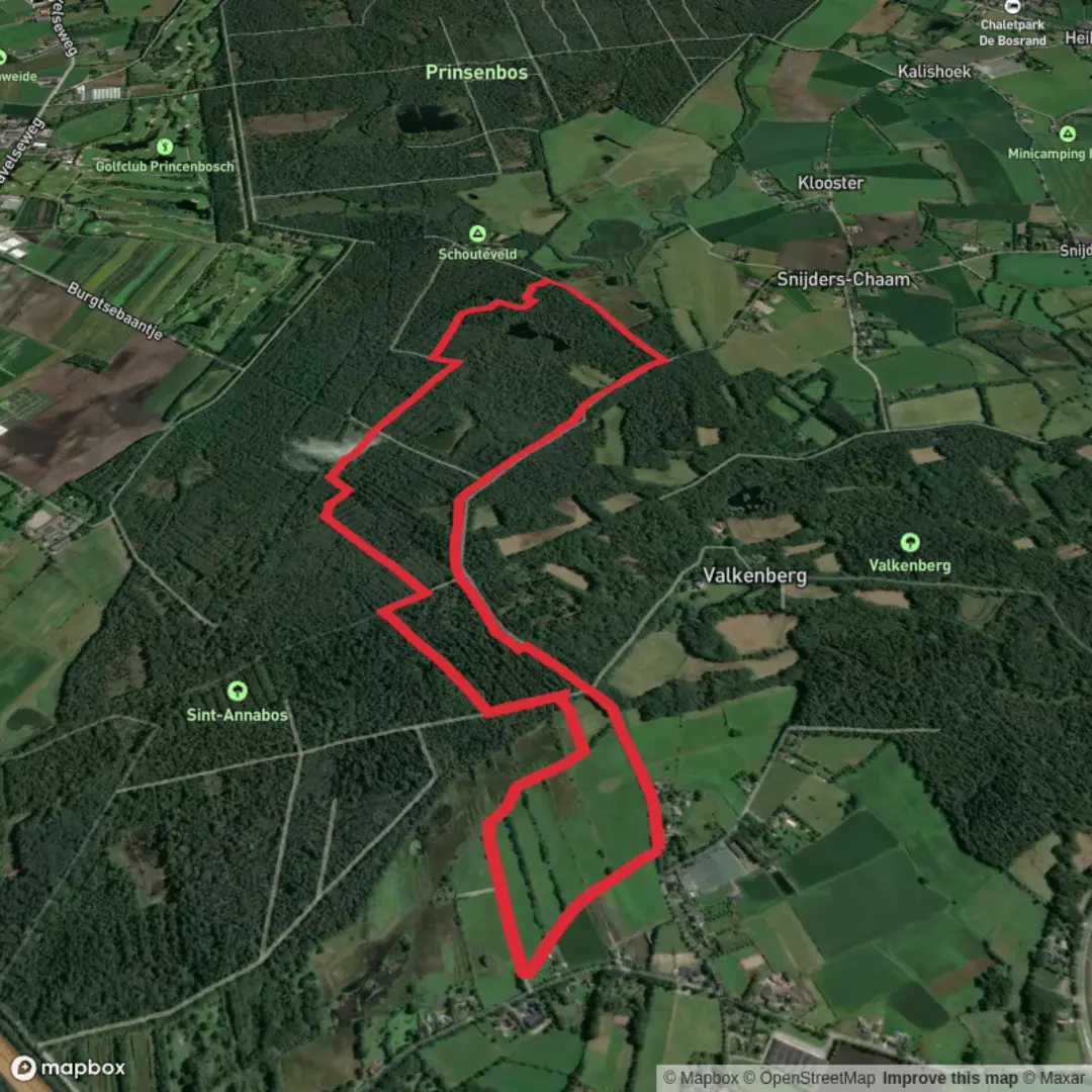
6.0 km
~1 hrs 11 min
0 m
Loop
“Wander through a tapestry of lush forests, tranquil creeks, and storied borderland history on this scenic loop.”
The SBB Rondwandeling and Grenslandpad Loop is a scenic circular hike of approximately 6 kilometers (3.7 miles) with minimal elevation gain, making it accessible for hikers of all levels. This trail offers a delightful journey through diverse landscapes, including lush forests, open fields, and serene waterways.
Trail Overview
Starting near the town of Terneuzen in Zeeland, Netherlands, the loop is part of the Grenslandpad (Borderland Path), a long-distance trail that traverses the Dutch-Belgian border region. The route is well-marked and primarily consists of flat, unpaved paths, ensuring an easy and enjoyable walking experience.
Key Landmarks and Natural Features
Otheensche Kreek: Early in the hike, you'll encounter this picturesque creek, a remnant of historical inundations. The area is rich in birdlife, so keep an eye out for various waterfowl species.
Margarethapolder: As you progress, you'll pass through this polder landscape, characterized by its reclaimed land and traditional Dutch windmills. The flat terrain offers expansive views of the surrounding countryside.
Fortified Towns: The region is dotted with historic fortified towns such as Sas van Gent and Hulst. These towns boast well-preserved ramparts and offer a glimpse into the area's strategic military history.
Flora and Fauna
The trail meanders through diverse habitats, including wetlands, meadows, and woodlands. Depending on the season, you might encounter blooming wildflowers, grazing sheep, and a variety of bird species, including herons and storks.
Historical Significance
The Grenslandpad follows the Dutch-Belgian border, an area steeped in history. The fortified towns along the route were crucial during various European conflicts, serving as defensive strongholds. The polders you'll traverse are a testament to Dutch engineering prowess in land reclamation.
Getting There
By Public Transport: Terneuzen is accessible by bus from major cities like Rotterdam and Antwerp. From Terneuzen's central bus station, local buses can take you closer to the trailhead. It's advisable to check current schedules on the official public transport websites before your trip.
By Car: If driving, you can reach Terneuzen via the N62 highway. Parking is available in the town, and from there, you can walk or take a short bus ride to the trail's starting point.
Navigation
For detailed maps and real-time navigation, consider using HiiKER, which provides comprehensive trail information and offline maps to assist you throughout your hike.
Preparation Tips
Footwear: While the trail is easy, wearing comfortable walking shoes is recommended due to the unpaved sections.
Weather: The region can be windy, especially near open water areas. Bring a windbreaker or light jacket.
Supplies: There are limited facilities along the trail, so carry sufficient water and snacks.
Embarking on the SBB Rondwandeling and Grenslandpad Loop offers a blend of natural beauty and historical intrigue, making it a rewarding experience for those looking to explore the Dutch borderlands.

Surfaces
Unknown
Dirt
Unpaved
Asphalt
Sand
Comments and Reviews
User comments, reviews and discussions about the SBB Rondwandeling and Grenslandpad Loop, Netherlands.
average rating out of 5
0 rating(s)