Download
3D Flyover
Add to list
More
8.4 km
~1 hrs 40 min
0 m
Loop
“Wander through Groningen’s storybook fields and leafy parks, where history and nature dance together.”
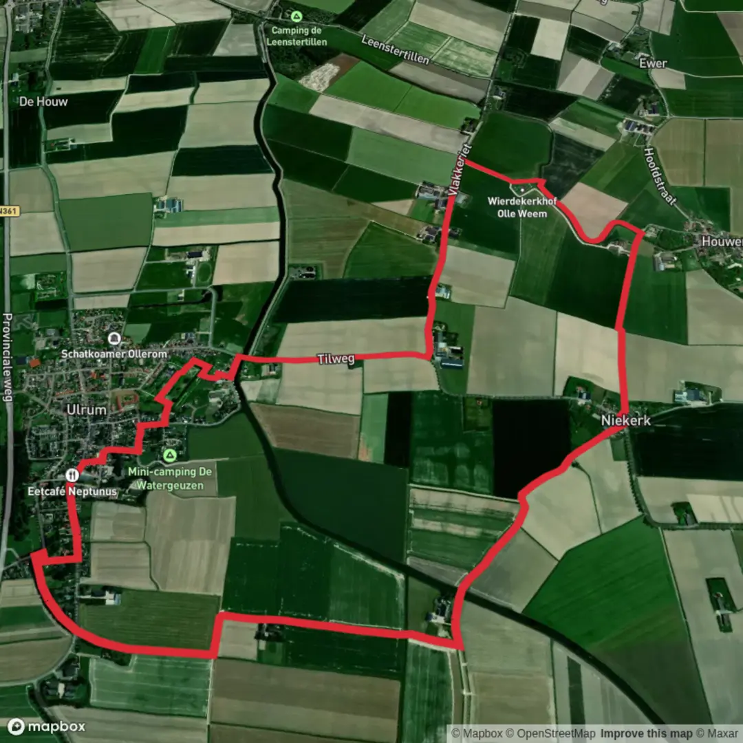
Embarking on the Niekerkerpad and Groningen Loop offers an accessible and enriching hiking experience through the diverse landscapes and historical sites of the Groningen region in the Netherlands. This approximately 8-kilometer (5-mile) loop is predominantly flat, making it suitable for hikers of all levels.
Trail Overview
The route begins near the village of Niekerk, located southwest of the city of Groningen. From Niekerk, the trail meanders through the picturesque Dutch countryside, characterized by expansive fields, traditional farms, and serene waterways. The path is well-maintained and clearly marked, ensuring a straightforward navigation experience.
Key Landmarks and Natural Features
Noorderplantsoen Park: As you approach the city of Groningen, the trail leads you through Noorderplantsoen, a historic urban park established in the late 19th century. Designed in the English landscape style, the park features winding paths, serene ponds, and a variety of mature trees. It's a popular spot for both locals and visitors, offering a peaceful respite within the city. (en.wikipedia.org)
Stadspark: Further along the loop, you'll encounter Stadspark, another significant green space in Groningen. Opened in 1926, this park was developed on former peatland and showcases a blend of manicured gardens, open lawns, and wooded areas. It's a hub for recreational activities and hosts various cultural events throughout the year. (aroundtheworld4u.com)
Flora and Fauna
The trail traverses diverse ecosystems, from agricultural lands to urban parks. In the countryside sections, you may observe traditional Dutch crops and livestock. The parks are home to a variety of tree species, including oaks and maples, and provide habitats for numerous bird species. Keep an eye out for waterfowl in the ponds and songbirds in the wooded areas.
Historical Significance
Groningen's history is deeply intertwined with its waterways and trade routes. The city's development was significantly influenced by its strategic location, serving as a hub for commerce and cultural exchange. The parks along the trail, such as Noorderplantsoen and Stadspark, reflect the city's commitment to preserving green spaces amidst urban expansion, offering insights into the region's historical and cultural evolution.
Getting There
By Public Transport: From Groningen's central train station (Groningen Hoofdstation), you can take a bus to Niekerk. Bus services are frequent, and the journey typically takes around 30 minutes. For detailed schedules and routes, consult the local public transport website or app.
By Car: If driving, Niekerk is accessible via the A7 motorway. Parking is available in the village, providing a convenient starting point for the hike.
Navigation
For detailed maps and real-time navigation assistance, consider using HiiKER, a comprehensive tool designed for hikers. It offers up-to-date trail information, ensuring a well-prepared hiking experience.
This loop offers a harmonious blend of natural beauty, historical landmarks, and cultural insights, making it a rewarding experience for those looking to explore the Groningen region on foot.

Surfaces
Asphalt
Concrete
Unknown
Wood
Comments and Reviews
User comments, reviews and discussions about the Niekerkerpad and Groningen Loop, Netherlands.
average rating out of 5
0 rating(s)