Download
3D Flyover
Add to list
More
43.5 km
~2 days
19 m
Multi-Day
“A marathon-length ramble through pine-straight tracks, heather hummocks, and fen boardwalks—flat yet testing.”
This is a long, low-relief day out of roughly 43 km / 26.7 mi with about 0 m / 0 ft of total climbing—more of an endurance walk than a “hike” in the mountainous sense. Expect a mix of sandy forest tracks, heathland paths, and boardwalk-like sections around wetter ground, with frequent straight stretches typical of managed woodland and Dutch nature reserves. Even with minimal elevation change, the distance makes pacing, foot care, and fueling the main challenges.
Getting to the start (car + public transport)
Because the start is only given as “near” (no coordinates or town), the most reliable way to pinpoint the trailhead is to open the route in HiiKER and use the start-point pin to identify the nearest road access and parking. Once you have the start pin’s coordinates, you can match it to the closest signed access point (often a parkeerplaats for a nature area) and a recognizable landmark such as a visitor center, café, or trail gate.
- By car: In this region, long-distance nature routes commonly begin near a signed parking area at the edge of forest/heath reserves. Plan for a full-day outing: arrive early, and confirm whether the parking area has time limits or gates that close in the evening.
- By public transport: The Netherlands’ bus-and-train network usually gets you close, but the last 1–5 km (0.6–3.1 mi) can be a walk from a station or bus stop to the trailhead. Use HiiKER to identify the nearest station/stop to the start pin, then check the final connection timing—especially on Sundays and evenings when service can thin out.
If you share the start coordinates (lon/lat), I can convert them to the nearest known address or prominent landmark (e.g., a specific parking lot name, trail entrance, or nearby road junction).
What the terrain feels like over 43 km (26.7 mi)
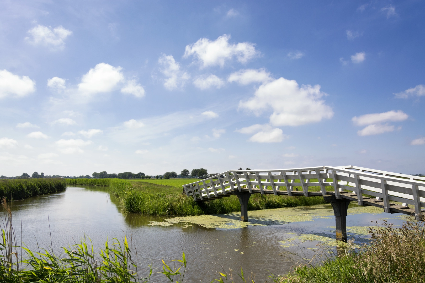
With essentially flat elevation, the route’s “difficulty” comes from: - Surface variety: sand (energy-sapping), compacted gravel, forest duff, and occasional muddy/wet sections near venne (fen) areas. - Repetition and straightaways: managed forests can be mentally monotonous; it helps to break the day into segments between named features like Het Hoge Venne, Vennebulten, and the Keizersbeek corridor. - Foot management: flat routes still punish feet—heat, friction, and grit are common. Gaiters can help if you expect sandy stretches.
Plan your day like a marathon walk: steady pace, short regular breaks, and a firm turnaround/exit plan if you’re behind schedule.
Landmarks and landscape: fens, heath, and “bulten”
The names here are a good clue to what you’ll see:
Het Hoge Venne: Venne points to fen/wetland—often shallow, peaty basins with water-loving vegetation. Even in drier periods, the ground can stay spongy. Look for:
- Sphagnum moss, sedges, and wet-heath plants.
- Dragonflies in warmer months and frogs/toads near the water margins.
- Narrow paths that skirt the wettest ground; after rain, detours around puddled sections are common.
Vennebulten: Bulten suggests raised hummocks—slightly higher, drier “islands” in or near wetland/heath. These subtle rises can change the vegetation abruptly: heather and pine/birch on the drier bumps, wetter grasses and mosses in the dips. It’s a classic mosaic landscape: small changes in height create big changes in footing and plant life.
Keizersbeekpad: Beek indicates a stream corridor. Streamside paths often mean:
- Softer ground and occasional slick roots.
- Small bridges/culverts and drainage ditches.
- A cooler, shaded feel under alder/birch in places, with birdsong concentrated along the water.
Wildlife you’re likely to notice (and what to look out for)
This kind of Dutch lowland nature area tends to reward quiet observation rather than big-animal sightings.
- Birdlife: Expect woodland and heath-edge species—woodpeckers, tits, finches, and raptors overhead where the canopy opens. Early morning and late afternoon are best.
- Amphibians and insects: Fens and stream edges can be lively with frogs and dragonflies in spring/summer.
- Deer: In larger forest blocks, roe deer are possible, especially at dawn/dusk—more often seen as movement at the tree line than out in the open.
What to watch for: - Ticks: Common in grassy/heathy edges and along wildlife trails. Long socks, repellent, and a post-hike check are smart. - Adders (where present): Heathland can host them in some regions; they avoid people but can be encountered sunning on warm days. Give any snake space and step carefully through heather.
Navigation and route management (flat doesn’t mean foolproof)
Flat forest/heath networks can be surprisingly confusing because many junctions look identical.
- Load the route in HiiKER and keep an eye on:
- Frequent intersections of forestry tracks.
- Parallel paths that run close together (easy to drift onto the wrong one).
- Short connectors around wet areas that can be missed if you’re moving fast.
A good strategy for a 43 km (26.7 mi) day is to pre-identify 3–5 “checkpoints”

Surfaces
Asphalt
Unknown
Concrete
Gravel
Grass
Comments and Reviews
User comments, reviews and discussions about the Het Hoge Venne and Vennebulten via Keizersbeekpad, Netherlands.
average rating out of 5
0 rating(s)