Download
3D Flyover
Add to list
More
35.9 km
~7 hrs 19 min
89 m
Multi-Day
“A long, steady Veluwe ramble from piney sands to Rhine-side Wageningen—endurance with quiet rewards.”
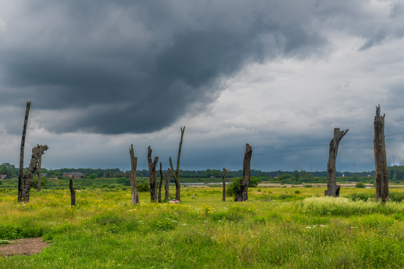
Starting near Ugchelen (just south of Apeldoorn), this long, mostly flat point‑to‑point walk threads through classic Veluwe landscapes—pine and mixed woodland, sandy soils, heath edges, and quiet country roads—before finishing in Wageningen on the Rhine’s north bank. At roughly 36 km / 22.4 miles with about 100 m / 330 ft of total ascent, it’s physically “easy” in terms of gradients, but it’s still a full-day endurance outing because of the distance and the amount of time you’ll be on your feet.
Getting to the start (Ugchelen, near Apeldoorn)
Nearest practical start landmark: Ugchelen is a village immediately south of Apeldoorn; a common, easy-to-find arrival point is around Ugchelen village center (near local shops and bus stops) or the southern edge of Apeldoorn where routes naturally feed into the Veluwe’s forest roads.
By public transport (from the wider region):
- Take the train to Apeldoorn Station (a major rail hub in the area).
- From there, use local buses toward Ugchelen (or a short taxi/ride-share) and begin from the village area.
- For on-the-ground route confirmation and to match the exact line of Hoenderloseweg/Apeldoornseweg segments, use HiiKER to align your start point with the intended track.
By car:
- Drive to Ugchelen and park in a public parking area near the village center or at a signed recreation/forest access point on the edge of the woods (parking rules vary by spot; check local signage).
- Because this is a point-to-point hike ending in Wageningen, consider:
- leaving a second car near the finish, or
- planning your return by bus/train via nearby hubs (Wageningen is well connected by bus to Ede-Wageningen rail station).
What the terrain feels like (and why it stays “easy”)
Expect gentle, rolling micro-relief rather than hills: the Veluwe is an elevated sandy plateau, so you’ll get subtle rises and dips, but nothing sustained. The ~100 m / 330 ft of gain is spread out so thinly that you’ll mostly notice it as “slight up, slight down” rather than climbs.
Underfoot, you’ll likely rotate between: - Compacted forest tracks (often wide and fast), - Paved or semi-paved country roads (especially where the route uses named roads like Hoenderloseweg and Apeldoornseweg), - Occasional sandy patches where the Veluwe’s soils show through—these can slow pace and increase calf fatigue late in the day.
Because the route is long, plan your day around time rather than difficulty: many hikers average 4–5 km/h (2.5–3.1 mph) on easy ground with breaks, so 36 km / 22.4 miles commonly becomes 8–10+ hours depending on stops.
Route flow and key waypoints (approximate)
0–10 km (0–6.2 mi): Ugchelen outward—woodland edges and quiet lanes
Leaving Ugchelen, you’ll quickly transition from village streets to greener corridors. This early section is ideal for settling into a steady pace. Watch for morning damp on shaded paths—slick leaves and pine needles can be surprisingly slippery even on “easy” terrain.
10–22 km (6.2–13.7 mi): Hoenderloseweg / Apeldoornseweg corridor—classic Veluwe forest travel
This is the heart of the Veluwe feel: long, straight forest lines, tall conifers mixed with deciduous stands, and sandy verges. The walking is efficient, but the uniformity can make it easy to drift off-route at junctions where multiple forestry tracks look similar. Keep HiiKER handy and confirm turns at every major intersection rather than relying on “it looks right.”
22–36 km (13.7–22.4 mi): Toward Wageningen—more open country and the Rhine approach
As you near Wageningen, the landscape typically becomes more open and settled, with more signs of agriculture and town approach routes. The finish feels distinctly different from the Veluwe interior: you’re moving toward the Rhine river corridor, where the land is shaped by water management, dikes, and centuries of cultivation.
Nature, wildlife, and what to look out for
The Veluwe region is one of the Netherlands’ best-known nature areas, and even on a route that uses roads, you’re moving through habitat that supports a lot of wildlife.
Common sightings (often at dawn/dusk): - Roe deer and sometimes red deer in quieter forest margins. - Wild boar are present in parts of the Veluwe; you’re unlikely to have issues if you keep distance and don’t approach piglets. Give any boar a wide berth and avoid pushing through dense undergrowth where visibility is poor. - Birdlife: woodpeckers, buzzards, and a variety of songbirds in mixed woodland.
Seasonal notes: - Spring: fresh undergrowth and more bird activity; trails can be soft after rain. - Summer: longer daylight helps with a 36 km day, but heat on paved stretches can be draining—sun exposure increases as you leave deeper forest. - Autumn: beautiful color in mixed stands; more slippery surfaces from wet leaves. - Winter: short daylight—start early; some paths can be muddy or lightly icy in shaded forest

Surfaces
Asphalt
Unknown
Comments and Reviews
User comments, reviews and discussions about the Ugchelen to Wageningen via Hoenderloseweg and Apeldoornseweg, Netherlands.
average rating out of 5
0 rating(s)