Download
3D Flyover
Add to list
More
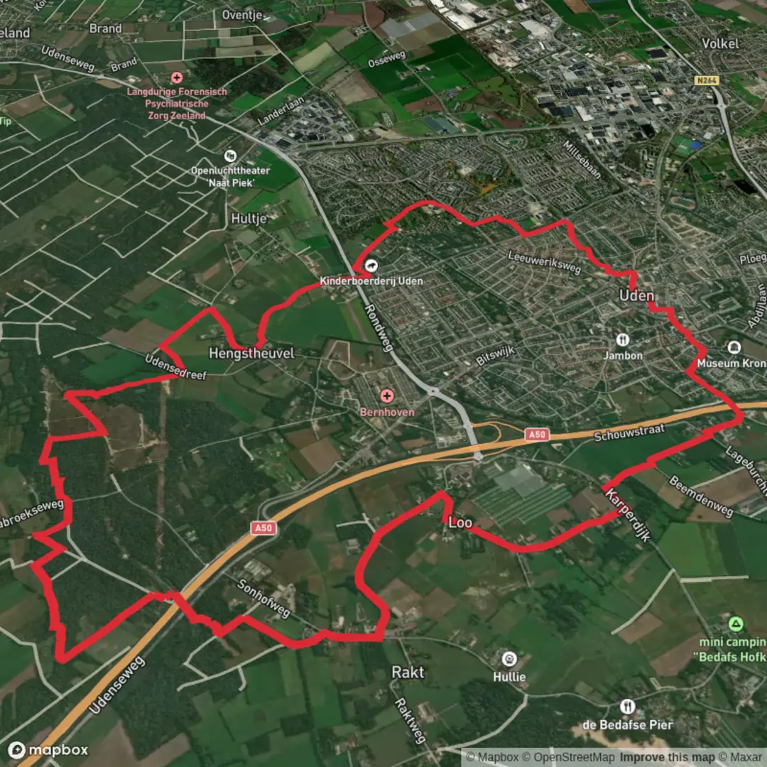
15.4 km
~3 hrs 4 min
0 m
Loop
“A gentle, flat hamlet loop through big skies, farm tracks, and ditch-side birdsong—wind permitting.”
A relaxed, mostly level countryside loop of about 15 km (9.3 mi) with essentially 0 m (0 ft) of climbing, this walk is ideal for an easy day out where the main “effort” is simply keeping a steady pace on flat paths. Expect a mix of quiet lanes, farm tracks, and field-edge paths typical of lowland Dutch landscapes, with long sightlines, big skies, and frequent encounters with working farmland.
Getting to the start (car + public transport)
You’ve listed the hike head as “near” but didn’t include coordinates or a place name. If you share a lon/lat (or a HiiKER link), I can pin it to the nearest known address or landmark and tailor the directions precisely.
For most loops in the Buurtschap / Slabroeksche area (these names commonly refer to small rural hamlets in the Netherlands), the usual access pattern is:
- By car: Aim for a signed hamlet center (“Buurtschap …” on local signage) or a nearby village with public parking (often by a church, community hall, sports fields, or a small trailhead pull-in). In rural areas, parking is frequently informal—use marked bays where available and avoid blocking farm gates and narrow verges used by tractors.
- By public transport: Typically you’ll take a train to the nearest larger town, then a regional bus to a village stop, finishing with a short walk (often 0.5–2.5 km / 0.3–1.6 mi) to the loop. In many rural Dutch regions, buses can be infrequent outside commuter hours, so check the last return service before you set off.
What the route feels like underfoot
With negligible elevation change, the “difficulty” comes down to surface conditions and exposure to wind/rain rather than hills.
- Surfaces: Expect a blend of paved farm lanes, compacted gravel, and grassy or dirt field margins. After wet weather, the unpaved sections can turn soft and slick, especially where farm machinery has left ruts.
- Footwear: Light hiking shoes are usually enough in dry spells; after rain, water-resistant footwear helps a lot.
- Wind exposure: Flat open country can feel surprisingly demanding in a headwind. Even on an easy route, plan your pacing so you’re not fighting wind for the entire second half.
Landmarks, landscape, and the “Buurtschap” character
“Buurtschap” in Dutch commonly refers to a small hamlet—a cluster of farms and homes rather than a full village center. These areas often have:
- Traditional farmsteads with long, straight access tracks and drainage ditches.
- Canals/ditches and small bridges that shape the walking lines and create frequent “micro-landmarks” for navigation.
- Field mosaics (pasture, arable plots, hedgerows or tree lines) that change subtly every few kilometers.
Over a 15 km (9.3 mi) loop, a practical way to think about the day is in thirds:
- 0–5 km (0–3.1 mi): Settling into quiet lanes and the first stretches of open farmland. This is where you’ll quickly learn whether the day is calm or windy.
- 5–10 km (3.1–6.2 mi): The most “rural” feeling portion—long straightaways, drainage channels, and wide views. If there’s a named “Slabroeksche” section, it’s often a locality name tied to older land divisions; expect the landscape to feel consistent and agricultural.
- 10–15 km (6.2–9.3 mi): A gentle return via parallel tracks/lanes, often with slightly more signs of settlement—farm entrances, small roadside chapels or crosses in some regions, and more frequent local traffic near the hamlet.
Nature and wildlife to look out for
Lowland agricultural countryside still supports plenty of wildlife, especially along ditch edges, reed beds, and field margins.
- Birdlife: You’re likely to see common farmland and wet-edge species—look for birds perched on fence posts and wires, and listen for calls from reedier drainage lines.
- Mammals: Hares and rabbits are common in open fields; small mustelids can appear briefly along hedges. Early morning and late afternoon are best for sightings.
- Seasonal changes:
- Spring/early summer: More birdsong and activity along ditches; fields can be lush and paths may be softer.
- Late summer/autumn: Harvest changes the feel of the landscape quickly; some paths become dusty when dry.
- Winter: Open, exposed walking—dress for wind chill; muddy margins are more likely.
- Spring/early summer: More birdsong and activity along ditches; fields can be lush and paths may be softer.
Navigation and practical planning (using HiiKER)
Because flat farmland can look deceptively similar from one junction to the next, the key is staying on top of turns:
- Download the route in HiiKER for offline use and keep an eye on junction density—many rural loops have several closely spaced farm-track options that all look “right.”
- Use linear features (ditches, canals, tree lines) as confirmation: if HiiKER shows you should be paralleling a drainage line on your left for 800 m (0.5 mi), that’s a strong cue you’re on track.
- If you miss a turn, it’s often easiest to backtrack to the last clear junction rather than trying to cut across fields (which is typically not permitted and can damage crops).
Hazards and things

Surfaces
Asphalt
Unknown
Sand
Dirt
Paved
Ground
Comments and Reviews
User comments, reviews and discussions about the Buurtschap and Slabroeksche Loop, Netherlands.
average rating out of 5
0 rating(s)