Download
Preview
Add to list
More
22.1 km
~4 hrs 26 min
14 m
Point-to-Point
“From The Hague’s edge, drift through wind-swept dunes and shifting sands to De Zwaan’s sea-breeze finish.”
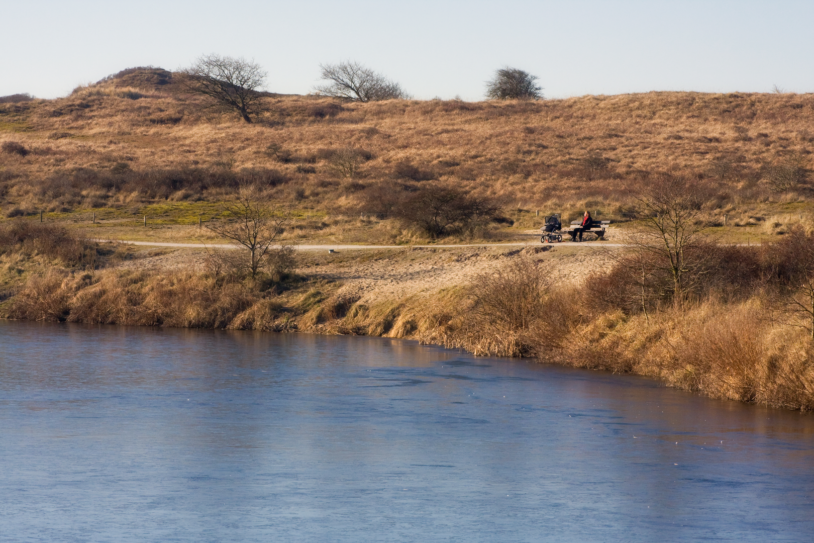
From the city edge of The Hague you’ll trade pavements and villas for one of the Netherlands’ classic coastal dune systems: a broad, almost-flat 22 km (13.7 mi) traverse through Meijendel and on into Berkheide, finishing near the sea at De Zwaan. Expect a steady rhythm of firm gravel, sandy dune tracks, and occasional boardwalk-like sections, with essentially no meaningful climbing (about 0 m / 0 ft of elevation gain overall), but plenty of wind exposure and soft sand that can make the day feel longer than the profile suggests.
Start location (nearest landmark/address)
A practical “hike head” for this route is the Meijendel access by De Tapuit (Dunea Visitor Centre), Meijendelseweg 42, 2243 GN Wassenaar—a well-known gateway into the dunes with clear entry points onto the trail network. (mapcarta.com)
Getting to the start (public transport or car)
By public transport
- From Den Haag Centraal (or Leiden Centraal), you can take bus 43 and get off at halte De Kievit, then walk roughly 30 minutes to the Meijendel entrance area. (meyendel.nl)
Plan the walking leg in HiiKER so you can choose the most direct dune-edge approach and avoid dead-end side paths.
By car
- Aim for parking at/near Boerderij Meyendel, Meijendelseweg 36, 2243 GN Wassenaar (very close to the same Meijendel access corridor). Parking is commonly described as free at the farm, and it’s a straightforward place to begin a long point-to-point day. (meyendel.nl)
If you arrive late on a sunny weekend, have a backup plan (arrive early, or be ready to start from a nearby roadside/rotary parking area and walk in).
What the walk feels like underfoot
The first kilometers ease you out of the urban fringe into open dune landscape—low shrubs, dune grasses, and pockets of woodland. Meijendel is known for a mix of open dunes, water features, forest patches, and long sandy corridors, so the surface changes often: compacted paths can suddenly turn to loose sand where wind has drifted it across the track. (noordwijk.info)
Because the route is essentially flat, the main “difficulty” comes from: - Soft sand stretches (slower pace, higher effort) - Wind (especially if you’re nearer the seaward dunes) - Navigation at junction-dense trail webs (use HiiKER to stay on the intended line)
Meijendel: dunes that make drinking water possible
Meijendel isn’t just scenic—it’s part of a major drinking-water dune system, where dunes and sandy soils help filter water. That’s one reason you’ll see managed paths, restricted zones, and strong “stay on trails” expectations in places. (stelmaatje.com)
Landmarks and notable stops you can use for pacing:
- De Tapuit (visitor centre area) early on: a natural “last check” point for layers, water, and route confirmation before you commit deeper into the dunes. (mapcarta.com)
- Boerderij Meyendel (Meijendelseweg 36): a very handy mid-walk or early-walk resupply/comfort stop depending on how you thread the route. (meyendel.nl)
Wildlife is typical of Dutch dune habitats: expect lots of birdlife (especially in quieter morning/evening hours), and keep an eye on the edges of scrub for movement. In warmer months, ticks can be a consideration in grassy margins—long socks and a post-hike check are sensible.
Berkheide: bigger, wilder-feeling dune country
As you transition into Berkheide, the landscape generally opens up into a more expansive dune feel—valleys, higher dune ridges, and botanically rich slopes are characteristic here, even though your route still won’t rack up meaningful elevation gain overall. (noordwijk.info)
Berkheide and Meijendel together form a protected coastal dune complex (a Natura 2000 area), which is why you’ll often encounter clear rules

Surfaces
Unknown
Sand
Asphalt
Ground
Paved
Dirt
Gravel
Concrete
Wood
Cobblestone
Comments and Reviews
User comments, reviews and discussions about the The Hague to De Zwaan via Meijendel and Berkheide, Netherlands.
average rating out of 5
0 rating(s)