Download
3D Flyover
Add to list
More
54.8 km
~2 days
0 m
Multi-Day
“Glide through wind-brushed heath, sandy pine edges, and green corridors—an endurance loop for steady souls.”
This is a long, low-effort 55 km (about 34 miles) loop across open heath, sandy tracks, pine woodland edges, and quiet green corridors—ideal for steady pacing rather than climbing. With roughly 0 m (0 ft) of elevation gain, the challenge is almost entirely about distance, foot comfort on sandier sections, and staying oriented where paths braid and intersect.
Getting to the start (car + public transport)
Because the start point is only given as “near” (no town, coordinates, or trailhead name), the most reliable way to pin down the nearest address/landmark is to use the route’s shared start on HiiKER (or paste the start coordinates here). Once you have that:
- By car: Aim for the closest signed access point/parking area to Vrachelse Heide (heath access points are typically marked with small parking pull-ins near forest/heath entrances). Arrive early—heath/forest car parks can fill on weekends and fair-weather days.
- By public transport: The practical approach is usually train to the nearest larger station, then a local bus toward the heath/forest edge, finishing with a short walk to the trail access. If you tell me the nearest town (or share the HiiKER link), I can translate that into a specific station + bus stop pairing and the most sensible walking approach.
If you provide lon/lat, I’ll convert it to the nearest known address or a clear landmark (e.g., a named car park, visitor access point, or recognizable road junction).
What to plan for: at 55 km / 34 mi, most hikers either (a) start at first light and keep breaks short, or (b) split it into two days if local rules and lodging allow. Even on “easy” terrain, this is an endurance day.
What the terrain feels like underfoot
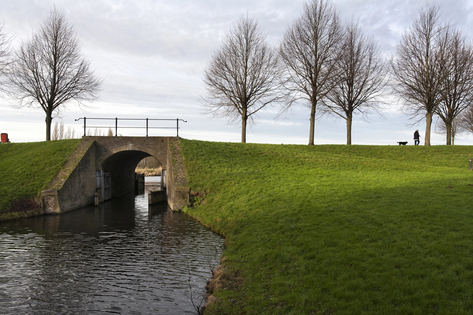
Expect a mix of: - Heathland tracks: often firm but can be sandy in patches; in dry spells the sand can sap energy. - Forest and plantation edges: pine and mixed woodland margins with needle-covered paths that can be surprisingly slippery when wet. - Green strips / corridors (“Groenstrook”): linear connectors—sometimes wide gravel or compacted paths, sometimes narrower footpaths—used to stitch together nature areas and keep you away from busy roads. - “De Kleine Schans” area: the name strongly suggests an old defensive earthwork/sconce (“schans” in Dutch/Flemish place-names commonly refers to historic fortifications). Even if the earthworks are subtle, you’ll often notice low banks, ditches, or oddly geometric rises in otherwise flat terrain.
Because the route is essentially flat (≈0 m / 0 ft gain), your pacing will be consistent—your main “slowdowns” will come from sand, wind exposure across open heath, and navigation at multi-track junctions.
Navigation and wayfinding (where people go wrong)
This kind of landscape tends to have many parallel tracks that look equally “right,” especially: - where heath transitions into forest, - at wide sandy intersections, - along straight green corridors with frequent side spurs.
Use HiiKER to keep a close eye on: - junction density (zoom in before you reach complex nodes), - track braiding (two paths that rejoin later can still cost time/energy if you pick the softer sand line), - re-entry points where the loop leaves a main track briefly and then returns.
A good habit on a 55 km / 34 mi day: confirm you’re on the correct line every 10–15 minutes, and immediately after any stop—most wrong turns happen right after breaks.
Nature, scenery, and wildlife to look for
Heathland and adjacent woodland mosaics are excellent for subtle, seasonal highlights:
- Heath vegetation: heather and low shrubs dominate open sections; late summer often brings the most dramatic color, while spring can feel more open and airy.
- Birdlife: open heath and forest edge habitat can be productive for raptors and songbirds; early morning is typically best for activity.
- Mammals: expect signs more than sightings—tracks in sand, scat on path edges, and movement at dawn/dusk along woodland margins.
- Insects: in warm months, heathland can be busy with pollinators; bring eye protection if you’re sensitive to insects on still days.
Practical caution: open heath can be wind-exposed with little shade, while forest sections can feel cooler and damper—layering matters even on a “flat” hike.
Landmarks and historical context (what the names hint at)
- “Heide” (heath): Heathlands in this region are often the result of long-term human land use (grazing, cutting, and nutrient-poor sandy soils). They’re culturally significant landscapes as much as ecological ones.
- “Groenstrook” (green strip): These corridors are frequently planned to preserve habitat connectivity and provide recreation routes—expect them to function like natural “links” between larger blocks of heath/forest.
- “Schans” (sconce/earthwork): Place-names with “schans” commonly point to historic defensive works—small fortifications, redoubts, or earthworks tied to regional conflicts and border defense. On the ground, this may appear as low embankments or a raised platform rather than a dramatic ruin, especially in flat, sandy country where earthworks erode and soften over time.
If you share the nearest town or coordinates, I can identify which historic “schans” this refers to and what period it’s associated with.
##

Surfaces
Unknown
Asphalt
Concrete
Comments and Reviews
User comments, reviews and discussions about the Vrachelse Heide, Groenstrook and De Kleine Schans Loop, Netherlands.
average rating out of 5
0 rating(s)