Download
3D Flyover
Add to list
More
18.3 km
~3 hrs 43 min
36 m
Loop
“A mostly level loop from moated château calm to big-sky heath and reborn clay-pit wildness.”
You’ll be walking a very flat, lowland loop of about 18 km (11.2 mi) with roughly 0 m (0 ft) of climbing, linking three very different landscapes on the edge of Tegelen/Venlo (Limburg, Netherlands): a moated castle estate, sandy heath with protected prehistoric archaeology, and a reclaimed clay-extraction/landfill area that’s now managed for nature.
A practical, easy place to treat as the start is Bilderberg Château Holtmühle, Kasteellaan 10, 5932 AG Tegelen (Venlo)—a prominent landmark with straightforward access and parking. (bilderberg.nl)
Getting to the start (car + public transport)
- By car: Navigate to Kasteellaan 10, 5932 AG Tegelen (Château Holtmühle). There’s on-site parking associated with the hotel. (bilderberg.nl)
- By public transport: Aim for Tegelen (rail/bus connections via the Venlo area), then use local buses or a short taxi/ride-share to Kasteellaan by the château. For the most reliable, day-specific routing, check the start point in HiiKER and match it to current transit options.
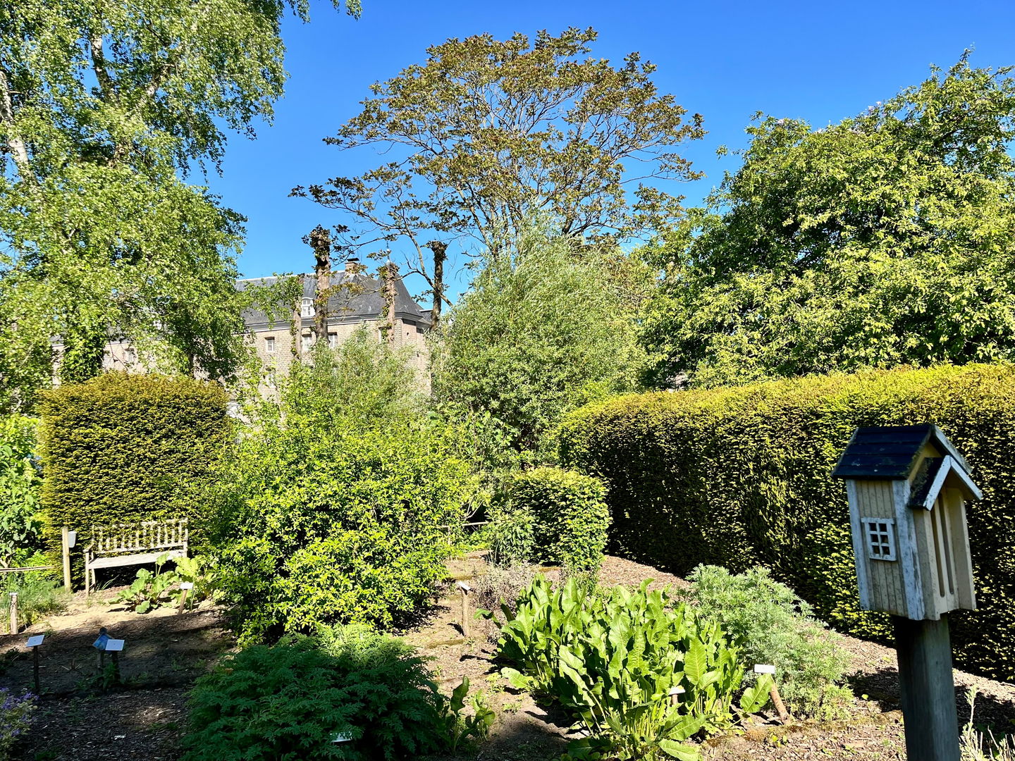
From the château, expect the first kilometres to feel “park-like”: broad paths, mature trees, and water features around the moat. The castle complex is a classic Limburg landmark—today operating as a hotel—so you’ll likely see a mix of hikers and day visitors near the entrance. (bilderberg.nl)
As you leave the immediate château grounds, the route typically transitions onto quieter tracks and woodland edges. Because the overall elevation change is minimal, the “difficulty” here is less about hills and more about underfoot conditions: after rain, low-lying paths can hold water and become slick, especially where the trail skirts ditches, ponds, or compacted clay soils.
Jammerdaalsche Heide: open heath and prehistoric burial mounds
A highlight of this loop is the Jammerdaalsche Heide, where the landscape opens into heath and sandy soils. This area is notable for its prehistoric burial mounds (grafheuvels)—an officially protected archaeological monument site with six tumuli recorded. (kennis.cultureelerfgoed.nl)
What to look for: - Low, rounded rises that can be easy to miss if you’re chatting or moving fast—these are not “natural dunes” but human-made monuments. - Heathland vegetation (often heather and tough grasses) that thrives on nutrient-poor sands. - A strong sense of “big sky” openness compared with the wooded castle approach.
Historical significance (why it matters):
- Burial mounds in the Netherlands were first built in the Late Stone Age, with continued use through the Bronze Age into the Roman period, reflecting changing burial practices (including cremation burials placed under mounds, often in urns). (kennis.cultureelerfgoed.nl)
Because these features are protected and can be fragile, it’s worth staying on established paths and avoiding shortcuts over the mounds.
Wildlife notes: - Heath and woodland edges can be good for birds and small mammals; you’ll also want to keep an eye out for ticks in warmer months—long socks and a post-hike check are sensible.
Groeve Wambach / Wambachgroeve: from clay pit to managed nature area
Later in the loop you’ll pass through/near Wambachgroeve (Groeve Wambach), a landscape with a very different story. It began as a clay extraction site—with clay in this region used since Roman times, and even the name “Tegelen” linked to the Latin “tegula” (roof tile). (bodemzorglimburg.nl)
In the 20th century, the site’s use changed: - Around 1960 clay extraction expanded in the area. - The pit (about 14 hectares / 35 acres) was later used as a landfill starting in 1975, with dumping activities stopping in 1994; later processing ended and management transferred over time, with stewardship moving to Bodemzorg Limburg in 2016. (bodemzorglimburg.nl)
What it feels like on foot: - Expect wide, open, grassy or scrubby sections with long sightlines

Surfaces
Unknown
Asphalt
Unpaved
Gravel
Sand
Ground
Comments and Reviews
User comments, reviews and discussions about the Kasteel Holtmuehle, Jammerdaalsche Heide and Groeve Wambach Loop, Netherlands.
average rating out of 5
0 rating(s)