Download
3D Flyover
Add to list
More
23.1 km
~4 hrs 36 min
0 m
Point-to-Point
“A big-sky Maas valley wander from Swolgen to “Kerk,” threading reedbeds, lanes, and quiet waters.”
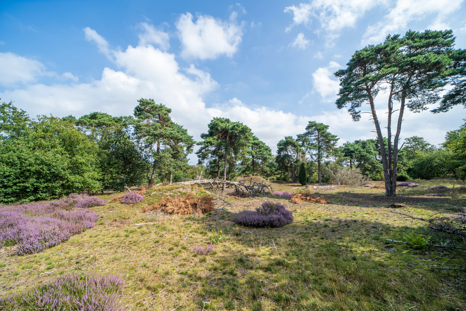
This is a flat, lowland walk through North Limburg’s Maas valley landscape, linking the village core of Swolgen with the tiny rural hamlet area known locally as “Kerk,” using the Peddepoel corridor as your quiet, green connector. Expect a mix of village lanes, farm tracks, and waterside paths with big skies, reedbeds, and long views across reclaimed floodplain—more about space and water than about climbing.
Key stats (approx.)
- Distance: ~23 km (14.3 mi)
- Elevation gain: ~0 m (0 ft) overall; any “ups and downs” are just small dike undulations and track camber.
- Difficulty: Easy (fitness-based mainly because of the length, not terrain)
Getting to the start (Swolgen)
Start landmark / nearest known address: the church area in Swolgen—commonly used as a meeting point and parking area—around Monseigneur Aertstraat 4, 5866 Swolgen (Horst aan de Maas, Limburg, NL). (ivn.nl)
You’ll also see route references that place a start point on Generaal Dempsystraat 2, 5866 BN Swolgen, which is essentially the same village-center vicinity for practical navigation. (routeyou.com)
By car - Aim for Swolgen village center (church square area). Street parking is typically easiest around the church and nearby residential streets; be considerate of driveways and farm access.
By public transport - The most reliable approach is usually: train to Venlo (regional hub) or Horst-Sevenum, then bus/taxi onward toward Swolgen. Local bus patterns can be infrequent in rural Limburg, so check same-day schedules before committing to a start time.
For on-trail navigation, load the route in HiiKER and keep an eye on junction density near farms and watercourses where tracks can braid and rejoin.
You’ll begin in Swolgen with the church as a clear visual anchor. The village sits in the municipality of Horst aan de Maas, a region shaped by agriculture and the long relationship between communities and the River Maas (Meuse). (en.wikipedia.org) The first kilometers are typically calm: village edges, hedgerows, and open fields. Because the route is essentially flat, pacing matters more than power—settle into a steady stride early, especially if you’re doing the full 23 km (14.3 mi) in one go.
As you leave the village, the landscape opens into classic Maas-valley lowlands: drainage ditches, straight farm access lanes, and occasional tree lines that act as windbreaks. In wetter periods, expect soft verges and puddled tractor ruts; waterproof footwear isn’t mandatory in dry spells, but it’s a smart choice if rain has fallen in the previous 24–48 hours.
Along the water: old Maas arms and floodplain nature
A defining feature of this area is the presence of former Maas channels (old river arms) and floodplain zones that have been reworked for high-water safety and new nature development. Nearby routes explicitly reference the Ooijen–Wanssum area development (2017–2021) focused on flood management and reactivating old Maas arms—this is the broader context for the watery, rewilding feel you’ll notice on sections that track close to channels and low-lying nature parcels. (routeyou.com)
Even on a “zero elevation gain” day, these floodplain edges create constant micro-variation: narrow bridges, culverts, and dike-top lines that subtly change your exposure to wind and sun. In spring and early summer, reedbeds and wet meadows can be loud with birdsong; in calmer months, you’ll still often see waterfowl and hear the rustle of reeds. Bring binoculars if you like wildlife spotting—this is the kind of terrain where the action is out across the water rather than up on the hills.
Peddepoel and the rural connector sections
The Peddepoel segment (as used in the route name) is where the walk tends to feel most “in-between”: quieter lanes, farm boundaries, and long straight stretches where navigation is simple but attention can drift. This is also where you should be most alert for: - Farm traffic (tractors moving fast on narrow lanes) - Electric fencing near grazing parcels - Seasonal mud where field-edge paths get churned

Surfaces
Unknown
Unpaved
Ground
Asphalt
Sand
Gravel
Paved
Dirt
Grass
Wood
Comments and Reviews
User comments, reviews and discussions about the Swolgen to Kerk via Peddepoel, Netherlands.
average rating out of 5
0 rating(s)