Download
3D Flyover
Add to list
More
23.1 km
~4 hrs 51 min
149 m
Loop
“A full-day ramble through Dwingelderveld’s purple heath, whispering pines, and drifting sands—pace yourself.”
You’ll be walking a classic slice of Nationaal Park Dwingelderveld—a big, open, quietly wild landscape of heath, drifting sand, peat remnants, and pine-and-oak woodland. At around 23 km / 14.3 mi with roughly 200 m / 656 ft of total ascent, it’s “Easy” in terms of steepness, but it’s still a full-day distance on mixed surfaces (sand can slow you down).
Getting to the start (car + public transport)
Because your “Hike head” field is incomplete, the most practical, well-known access points for this loop are on the Dwingeloo / Lhee / Spier side of the park. Common, reliable start options that match the Lheederzand–Holtveen area are:
By car (most straightforward):
- Natuurpoort Spier / Oriëntatiecentrum Spier, Oude Postweg 12, 9417 TG Spier (NL) is a major trail gateway with parking and facilities nearby.
- Another frequent access point for Lheederzand-area routes is near Anserpad (Dwingeloo) (often used as a large parking area for Dwingelderveld visits).
- Natuurpoort Spier / Oriëntatiecentrum Spier, Oude Postweg 12, 9417 TG Spier (NL) is a major trail gateway with parking and facilities nearby.
By public transport:
- Take the train to Beilen or Hoogeveen, then a regional bus/taxi onward to Spier or Dwingeloo. From either village, you can walk in to the trail network, but expect a short road/edge-of-park approach depending on your exact start pin.
If you share the route’s lon/lat (or a HiiKER link), I can pin the start to the nearest specific address/landmark and tailor the approach walk precisely.
What the terrain feels like underfoot
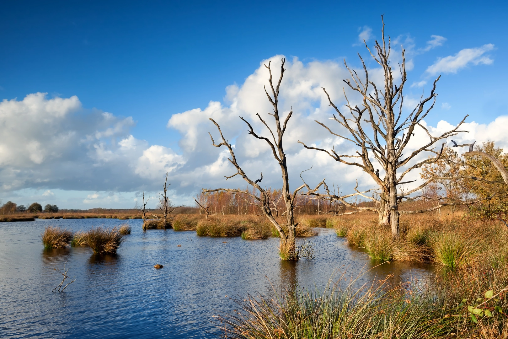
Expect a steady rotation of: - Wide forest tracks (fast, forgiving) - Narrow sandy paths through Lheederzand (slower; energy-sapping when dry) - Heathland singletrack with occasional roots and heather “tunnels” - Boardwalks/bridges or damp edges near vennen (small lakes/ponds) and peatier ground
Even with modest elevation gain, the route has constant micro-undulation—old dunes, sand ridges, and subtle rises that add up over 23 km.
Kilometer-by-kilometer expectations (approximate)
0–6 km / 0–3.7 mi: Woodland into open heath You’ll typically start on firm tracks that ease you into the day. As the trees thin, the landscape opens into heath and sandy clearings. This is where navigation can feel “samey” because multiple parallel paths braid through the forest edge—use HiiKER to confirm you’re on the intended line when you hit junction clusters.
6–13 km / 3.7–8.1 mi: Lheederzand’s sand and big skies This is the most distinctive-feeling section: drift-sand and sandy lanes with scattered pines and heather. In dry spells, sand can be deep enough to change your pace noticeably. If it’s windy, you may get sand in shoes—gaiters help, but even snug trail runners are usually fine if you stop once or twice to empty them.
Look for: - Juniper (jeneverbes) shrubs in places—gnarled, slow-growing, and characteristic of older heath/sand transitions. - Raptors overhead (buzzards are common), and in quieter stretches you may hear woodpeckers in the forest margins.
13–18 km / 8.1–11.2 mi: Holtveen and the wetter, peat-influenced feel “Holtveen” hints at the region’s long relationship with veen (peat)—wet, acidic ground that historically shaped land use here. You’ll notice a shift: more damp hollows, vennen edges, and vegetation that likes poorer, wetter soils. After rain, this is where you’re most likely to meet soft ground and short muddy patches.
Wildlife to watch for (quietly, from a distance): - Heathland birds and wetland-edge species around the vennen - Deer are possible at dawn/dusk along forest-heath boundaries
18–23 km / 11.2–14.3 mi: Return through forest lanes and heath fringes The final leg usually trends back onto firmer tracks. Fatigue tends to come more from distance and sand than from climbing. If you’re trying to keep it

Surfaces
Dirt
Unknown
Sand
Asphalt
Unpaved
Concrete
Ground
Comments and Reviews
User comments, reviews and discussions about the Witte Veen, Lheederzand and Holtveen Loop, Netherlands.
average rating out of 5
0 rating(s)