Download
3D Flyover
Add to list
More
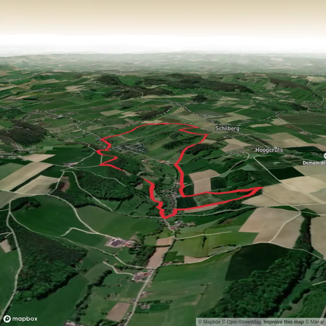
7.7 km
~1 hrs 51 min
185 m
Loop
“Meandering through wildflower meadows, woodland, and timeless villages, this loop dazzles with South Limburg’s pastoral charm.”
Starting from the picturesque village of Gulpen in the heart of South Limburg, this 8 km (5 miles) loop with approximately 200 metres (656 feet) of elevation gain offers a quintessential Dutch countryside experience. The trailhead is conveniently located near the historic Gulpener Bierbrouwerij (Gulpen Brewery), a well-known landmark that’s easy to find whether arriving by car or public transport. Buses from Maastricht and Aachen stop at Gulpen’s central bus station, just a short walk from the start.
Rolling Hills and Panoramic Vistas
The route quickly leaves the bustle of Gulpen behind, ascending gentle hills that provide sweeping views over the Krijtland region. Expect a mix of open meadows, patchwork farmland, and dense hedgerows. The landscape here is shaped by centuries of agriculture, with chalky soils giving rise to wildflowers in spring and summer. After about 2 km (1.2 miles), the path skirts the edge of Wittem, home to the striking Redemptorist Monastery, a site of pilgrimage and local history.
Historic Villages and River Valleys
Continuing south, the trail descends into the Geul Valley, where the river meanders through lush pastures. Keep an eye out for kingfishers and herons along the water’s edge. At around 4 km (2.5 miles), you’ll reach Slenaken, a charming village known for its traditional half-timbered houses and inviting cafés. This is a good spot for a rest or a snack before the climb back up the valley side.
Nature and Wildlife
The ascent out of Slenaken leads through ancient beech and oak woodlands, especially vibrant in autumn. Roe deer, foxes, and a variety of woodland birds are common sights. The trail follows sections of the Krijtlandpad, a long-distance path famed for its biodiversity and limestone grasslands. In late spring, orchids and rare butterflies can be spotted along the sunlit clearings.
Navigation and Trail Conditions
Waymarking is generally clear, but the network of intersecting paths can be confusing in places—using HiiKER for navigation is highly recommended. The terrain is a mix of gravel farm tracks, woodland paths, and grassy fields, which can become muddy after rain. Sturdy footwear is essential, and trekking poles may be helpful on steeper sections.
Getting There and Practical Tips
Gulpen is accessible by regional bus from Maastricht (about 30 minutes) and Aachen (about 45 minutes). Drivers will find ample parking near the brewery and village center. Facilities are available in Gulpen, Wittem, and Slenaken, including cafés, shops, and restrooms. The area’s rich history, from Roman roads to medieval monasteries, adds depth to every step of this scenic loop through the Dutch hills.

Surfaces
Unknown
Dirt
Ground
Asphalt
Grass
Gravel
Concrete
Comments and Reviews
User comments, reviews and discussions about the Gulpen Wittem Slenaken and Krijtlandpad Loop, Netherlands.
average rating out of 5
0 rating(s)