Download
3D Flyover
Add to list
More
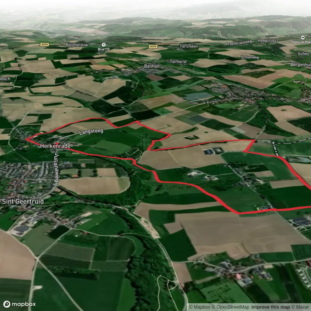
6.1 km
~1 hrs 16 min
26 m
Loop
“Winding past castles, orchards, and riverbanks, this peaceful path reveals South Limburg’s vibrant heritage and natural beauty.”
Nestled in the rolling countryside of South Limburg, this gentle 6 km (about 3.7 miles) loop begins near the picturesque village of Eijsden, close to the banks of the Maas River and the Belgian border. With virtually no elevation gain, this route is ideal for those seeking a leisurely walk through one of the Netherlands’ most scenic and culturally rich regions.
Getting There
Eijsden is easily accessible by train, with Eijsden Station just a short walk from the village center and the trailhead. Regular trains run from Maastricht, making it convenient for those arriving from larger cities. If traveling by car, parking is available near the Eijsden railway station or in the village itself, close to the historic Eijsden Castle.
Trail Overview and Navigation
The path meanders through a patchwork of meadows, orchards, and small woodlands, with the flat terrain making it suitable for families and casual walkers. Navigation is straightforward, but for added confidence and up-to-date trail information, HiiKER is recommended as your primary navigation tool.
Landmarks and Points of Interest
- Eijsden Castle: Within the first kilometer, you’ll pass the 17th-century Eijsden Castle, a moated manor surrounded by formal gardens and parkland. The castle is a highlight of the region, reflecting the area’s historical ties to both Dutch and Belgian nobility.
- Maas River Views: The route skirts the Maas River, offering tranquil riverside views and opportunities to spot waterfowl and other wildlife. The riverbanks are lined with willow trees and wildflowers in spring and summer.
- Margraten Plateau: As you head toward the Margraten area, the landscape opens up to reveal the gently undulating plateau, dotted with traditional Limburg farmhouses and fruit orchards. In late spring, the orchards are awash with blossoms, while autumn brings a bounty of apples and pears.
- Kalleberg: The trail’s namesake, Kalleberg, is a low rise rather than a true hill, but it provides a subtle change in scenery and a vantage point over the surrounding countryside. This area is known for its rich birdlife, including kestrels and buzzards.
Nature and Wildlife
The route is a haven for birdwatchers, with herons, swans, and kingfishers commonly seen along the river. The meadows and hedgerows support butterflies and bees, especially in warmer months. Deer and foxes are occasionally spotted in the quieter stretches near Kalleberg.
Historical Significance
South Limburg’s borderland history is evident throughout the walk. Eijsden itself was once a strategic crossing point between the Netherlands and Belgium, and the region’s architecture reflects centuries of shifting borders and cultural influences. The nearby American Cemetery in Margraten, though not directly on the route, is a poignant reminder of the area’s role in World War II.
Trail Conditions and Preparation
Expect well-maintained paths, mostly gravel and dirt, with occasional paved sections through villages. The flat profile (0 metres/0 feet elevation gain) means sturdy walking shoes are sufficient, and the route is accessible year-round, though some sections may be muddy after rain. Bring water and snacks, as amenities are limited outside the villages, but Eijsden offers several cafés and bakeries for a post-hike treat.
For those seeking a peaceful, culturally rich walk through the heart of Limburg, this trail offers a perfect blend of history, nature, and rural charm.

Surfaces
Unknown
Asphalt
Gravel
Dirt
Sand
Grass
Cobblestone
Comments and Reviews
User comments, reviews and discussions about the Eijsden Margraten and Kalleberg Weg, Netherlands.
average rating out of 5
0 rating(s)