Download
3D Flyover
Add to list
More
6.8 km
~1 hrs 26 min
54 m
Loop
“Wander lush meadows and gentle hills, where wildflowers bloom and echoes of Dutch history linger.”
Embarking on the Paardenweide and Uilenduin trail via Hoek Weg and Lange Weg offers a delightful 7-kilometer (approximately 4.35 miles) journey through the picturesque landscapes of the Netherlands. With an elevation gain of around 100 meters (328 feet), this easy-rated hike is suitable for hikers of all levels.
Getting to the Trailhead
The trailhead is conveniently located near the town of Hoorn in North Holland. For those using public transportation, the nearest train station is Hoorn, approximately an 18-minute walk from the starting point. Alternatively, the closest bus stop is Hoorn, Wogmergouw, just a 5-minute walk away. If you're driving, parking is available near the trailhead.
Trail Overview
Starting from the trailhead, the path meanders through diverse terrains, including lush meadows, serene woodlands, and gentle hills. The initial segment along Hoek Weg is characterized by flat, well-maintained paths, making for a comfortable start.
Key Landmarks and Natural Features
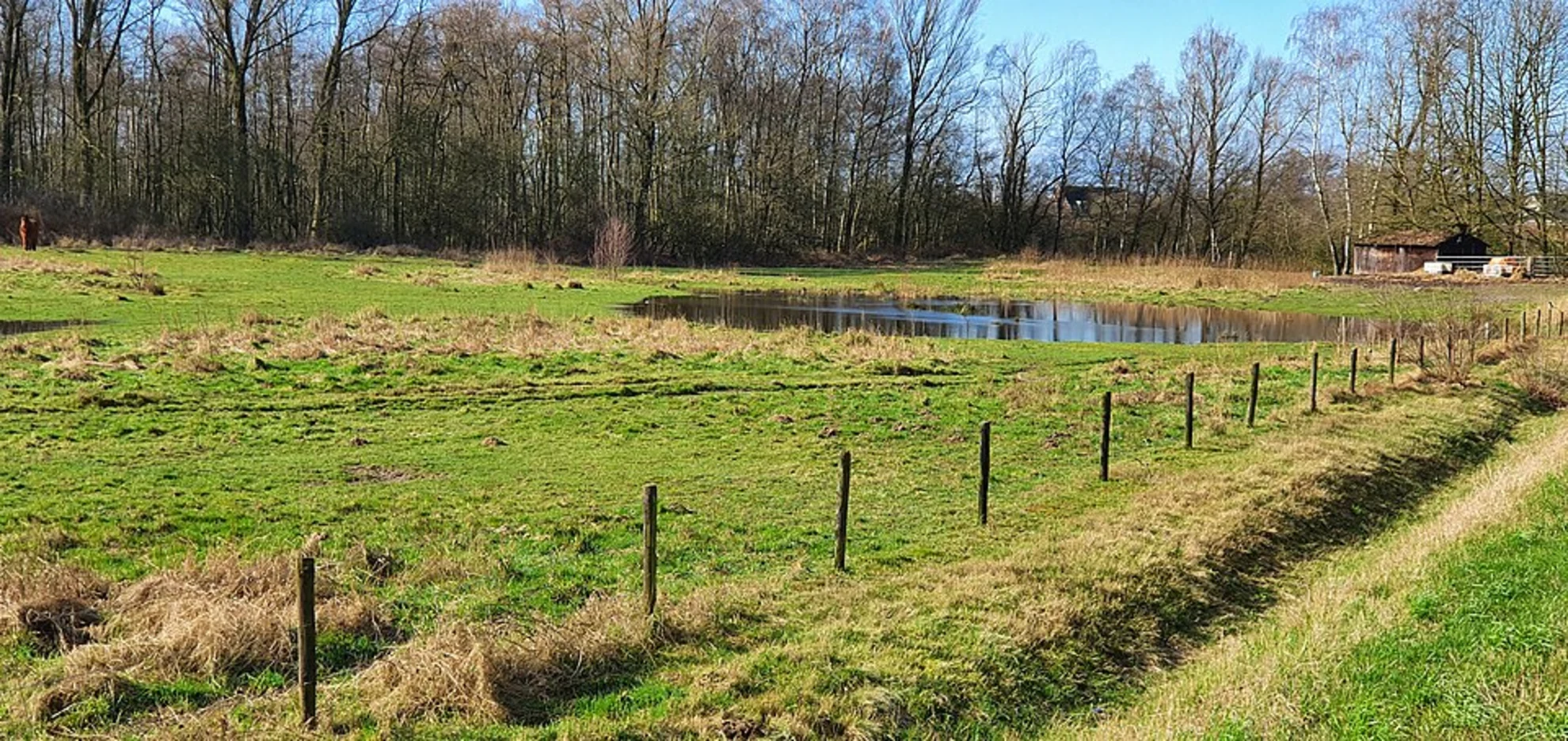
Paardenweide (Horse Meadow): Approximately 2 kilometers (1.24 miles) into the hike, you'll encounter the expansive Paardenweide. This open meadow is a haven for local wildlife and offers panoramic views of the surrounding countryside.
Uilenduin (Owl Dune): Around the 4.5-kilometer (2.8 miles) mark, the trail ascends gently towards Uilenduin. This elevated area provides a vantage point overlooking the region and is named for the owls that inhabit the area.
Flora and Fauna
Throughout the hike, you'll traverse areas rich in biodiversity. The meadows are dotted with wildflowers during the spring and summer months, attracting a variety of butterflies and bees. The woodlands are home to species such as the European robin, blackbird, and occasionally, deer can be spotted grazing in the early mornings or late afternoons.
Historical Significance
The region around Hoorn is steeped in history. Established in the 14th century, Hoorn was a significant port during the Dutch Golden Age. As you hike, you'll be walking paths that have been used for centuries, connecting villages and facilitating trade. The landscape has been shaped by both natural processes and human activity, offering a glimpse into the Netherlands' rich past.
Trail Conditions and Navigation
The paths are well-marked and maintained, suitable for hikers of all ages. While the elevation gain is modest, it's advisable to wear sturdy footwear, especially after rain, as some sections can become muddy. For navigation, consider using HiiKER, which provides detailed maps and real-time updates to enhance your hiking experience.
Preparation Tips
Weather: The Netherlands' weather can be unpredictable. It's advisable to check the forecast before setting out and dress in layers to accommodate changing conditions.
Amenities: While the trail offers a natural escape, amenities are limited. Ensure you carry sufficient water and snacks. Restrooms are available at the trailhead and in nearby Hoorn.
Safety: Mobile reception is generally good along the trail. However, informing someone of your hiking plans and expected return time is always a prudent measure.
This hike offers a harmonious blend of natural beauty, wildlife observation, and a touch of history, making it a rewarding experience for those looking to explore the Dutch countryside.

Surfaces
Unknown
Sand
Asphalt
Ground
Unpaved
Concrete
Comments and Reviews
User comments, reviews and discussions about the Paardenweide and Uilenduin via Hoek Weg and Lange Weg, Netherlands.
average rating out of 5
0 rating(s)