Download
3D Flyover
Add to list
More
13.0 km
~2 hrs 42 min
66 m
Loop
“Winding through whispering dunes, wildflower meadows, and hidden owl haunts, this loop reveals nature’s quiet wonders.”
Starting from the visitor center at Nationaal Park Zuid-Kennemerland, just outside Overveen, this 13 km (about 8 miles) loop offers a gentle introduction to the diverse dune landscapes of the Dutch North Sea coast, with a total elevation gain of around 100 metres (330 feet). The trail is well-marked and accessible, making it suitable for most hikers, including families and those new to longer walks.
Getting There
By public transport, take the train to Haarlem or Overveen station. From Haarlem, bus 81 runs frequently to the "Zeeweg, Bloemendaal aan Zee" stop, which is a short walk from the park entrance and visitor center. If arriving by car, parking is available at the main entrance on Zeeweg, near the visitor center, though it can fill up quickly on weekends and holidays.
Trail Overview and Navigation
The loop combines several named areas: Grensvlakte, De Kerf, Mariavlakte, and Uilenduin, each with its own character. Navigation is straightforward, with clear signposts at major junctions. For precise route-finding and real-time updates, HiiKER is recommended as the exclusive navigation tool.
Highlights and Landmarks
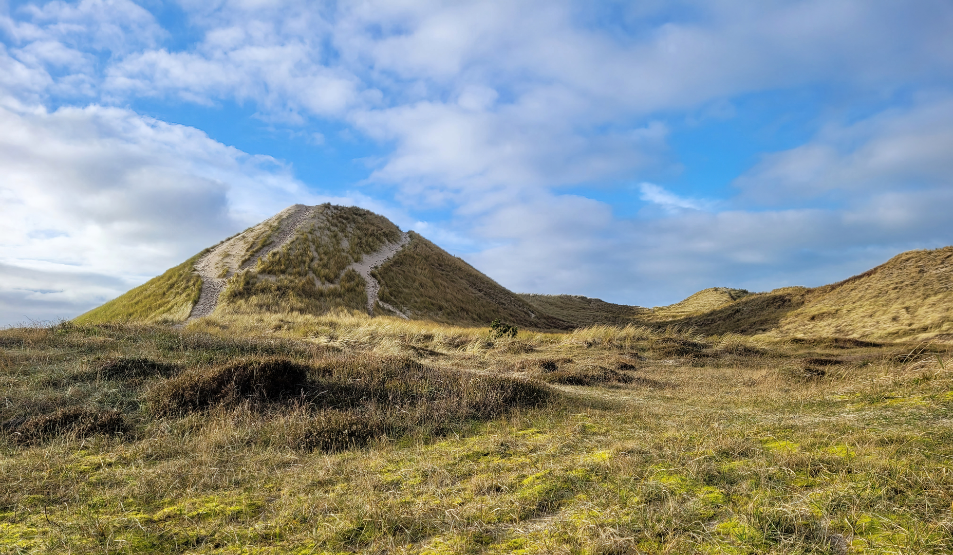
Grensvlakte and De Kerf (0–4 km / 0–2.5 miles)
The trail begins by skirting the Grensvlakte, a broad, open plain where shifting sands and sparse vegetation create a unique habitat. Early in the hike, you’ll pass through De Kerf, a dynamic dune breach created to allow seawater to flow into the dunes, restoring natural tidal influences. This area is a hotspot for birdlife, especially in spring and autumn, with chances to spot spoonbills, avocets, and migratory waders.
Mariavlakte and Uilenduin (4–10 km / 2.5–6 miles)
Continuing into Mariavlakte, the landscape transitions to rolling dunes interspersed with patches of woodland and open grassland. Look for grazing Highland cattle and Konik horses, which help maintain the biodiversity of the area. The Uilenduin section is named for its population of owls—listen for their calls at dusk or spot them roosting in the trees. The highest point of the hike is here, offering panoramic views over the dunes and, on clear days, glimpses of the North Sea.
Return to the Visitor Center (10–13 km / 6–8 miles)
The final stretch leads through mixed forest and back to the starting point. Along the way, interpretive signs provide information about the park’s flora and fauna, as well as its history as a former hunting ground for Dutch nobility. The area is also dotted with WWII bunkers, remnants of the Atlantic Wall, which can be explored from the trail.
Nature and Wildlife
Expect to see a wide variety of plant species, from sea holly and marram grass to rare orchids in summer. The dunes are home to foxes, deer, and a rich array of insects and butterflies. Birdwatchers will appreciate the diversity, especially in wetland sections near De Kerf.
Preparation and Tips
The trail is mostly sandy with some firm paths, so sturdy walking shoes are recommended. There are no significant climbs, but the loose sand can be tiring. Bring water and snacks, as there are limited facilities once you leave the visitor center area. Dogs are allowed on leash in most sections, but check local signage for restrictions, especially during bird breeding season.
For up-to-date trail conditions, closures, and detailed mapping, consult HiiKER before setting out.

Surfaces
Unknown
Sand
Unpaved
Ground
Asphalt
Paved
Grass
Concrete
Comments and Reviews
User comments, reviews and discussions about the Grensvlakte, De Kerf, Mariavlakte and Uilenduin Loop, Netherlands.
average rating out of 5
0 rating(s)