Download
3D Flyover
Add to list
More
18.9 km
~3 hrs 52 min
53 m
Point-to-Point
“From Schoonloo to Rolde, drift through brinken, whispering pines, heather and veen—long, gentle, and wind-kissed.”
You’ll be walking through the heart of Drenthe’s classic esdorp landscape—old village greens (brinken), sandy farm tracks, heath and pine woodland—linking the small village of Schoonloo to historic Rolde via the quieter nature pockets of Meindersveen and Westerlanden. At ~19 km (≈11.8 mi) with ~100 m (≈330 ft) of total ascent, it’s a long-but-gentle day where the “effort” comes more from distance, wind, and underfoot sand than from climbing.
Getting to the start (Schoonloo)
Nearest practical start landmark: the bus stop Schoonloo, Hoofdstraat (on/near Hoofdstraat in the village). (busmaps.com)
- By public transport: Regional buses run through Schoonloo on the Emmen–Assen corridor (operator shown as Qbuzz on stop listings). Plan the exact connection and walking approach with HiiKER plus the local transit planner, since timetables can shift seasonally. (busmaps.com)
- By car: Aim for parking along/near Hoofdstraat in Schoonloo (small village—use signed public parking if available and avoid blocking farm access). Schoonloo sits roughly 14 km (8.7 mi) southeast of Assen, so it’s an easy drive from Assen and the N33/N34 area. (en.wikipedia.org)
Finish logistics (Rolde): Rolde is a larger village with more services and multiple bus connections in the area; if you’re doing this as a point-to-point hike, it’s usually easiest to park in/near Rolde and bus/taxi to Schoonloo first, then walk back to your car.
What the route feels like underfoot
Expect a mix of: - Firm village lanes and brick/paved edges leaving Schoonloo and approaching Rolde. - Sandy forest tracks (can feel slow in dry spells). - Heathland paths and peat-edge ground around the “veen” sections—often springy, sometimes damp. - Short stretches where tree roots and pine needles hide unevenness.
Because the terrain is low (Schoonloo sits around 20 m / 66 ft above sea level), the elevation gain is mostly gentle rollers rather than any sustained climb. (en.wikipedia.org)
Schoonloo → Meindersveen (approx. 0–7 km / 0–4.3 mi)
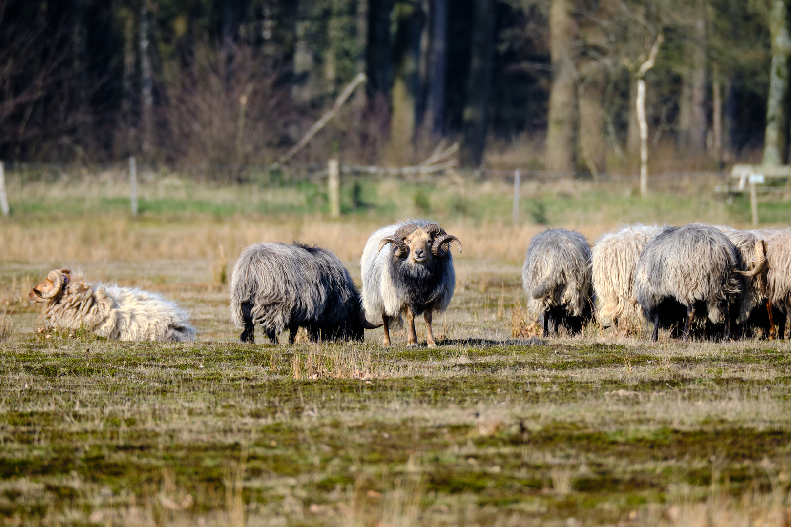
Leaving the village, the landscape quickly opens into the Drenthe pattern of woodland blocks and heath remnants. Schoonloo developed in the Middle Ages on the Rolderrug ridge as a satellite of Rolde, with farms historically using surrounding heath as communal grazing for sheep—so those open, heathy edges you pass aren’t “random emptiness,” they’re part of an old land-use system. (en.wikipedia.org)
As you angle toward Meindersveen, the character typically becomes quieter and wetter: look for: - Boggy margins and darker, moisture-loving vegetation. - Dragonflies in warmer months and more bird activity at the transitions between open wet ground and forest. - Narrower paths where passing is single-file.
What to watch for: after rain, the veen-edge can hold water; waterproof shoes help even on an “easy” profile. In dry periods, sandy stretches can be surprisingly tiring—pace by effort, not by speed.
Meindersveen → Westerlanden (approx. 7–14 km / 4.3–8.7 mi)
This middle section is where the hike feels most “nature-forward.” You’ll likely move between: - Pine and mixed woodland (sheltered, soft footing), - Openings of heath/rough grass, and - Occasional drainage ditches and small crossings.
Wildlife in the wider Drentsche Aa region can include cranes, and with luck even beaver or otter in the broader park system—sightings aren’t guaranteed, but the habitat mosaic is right for them.

Surfaces
Unknown
Asphalt
Grass
Dirt
Sand
Gravel
Wood
Comments and Reviews
User comments, reviews and discussions about the Schoonloo to Rolde via Meindersveen and Westerlanden, Netherlands.
average rating out of 5
0 rating(s)