Download
3D Flyover
Add to list
More
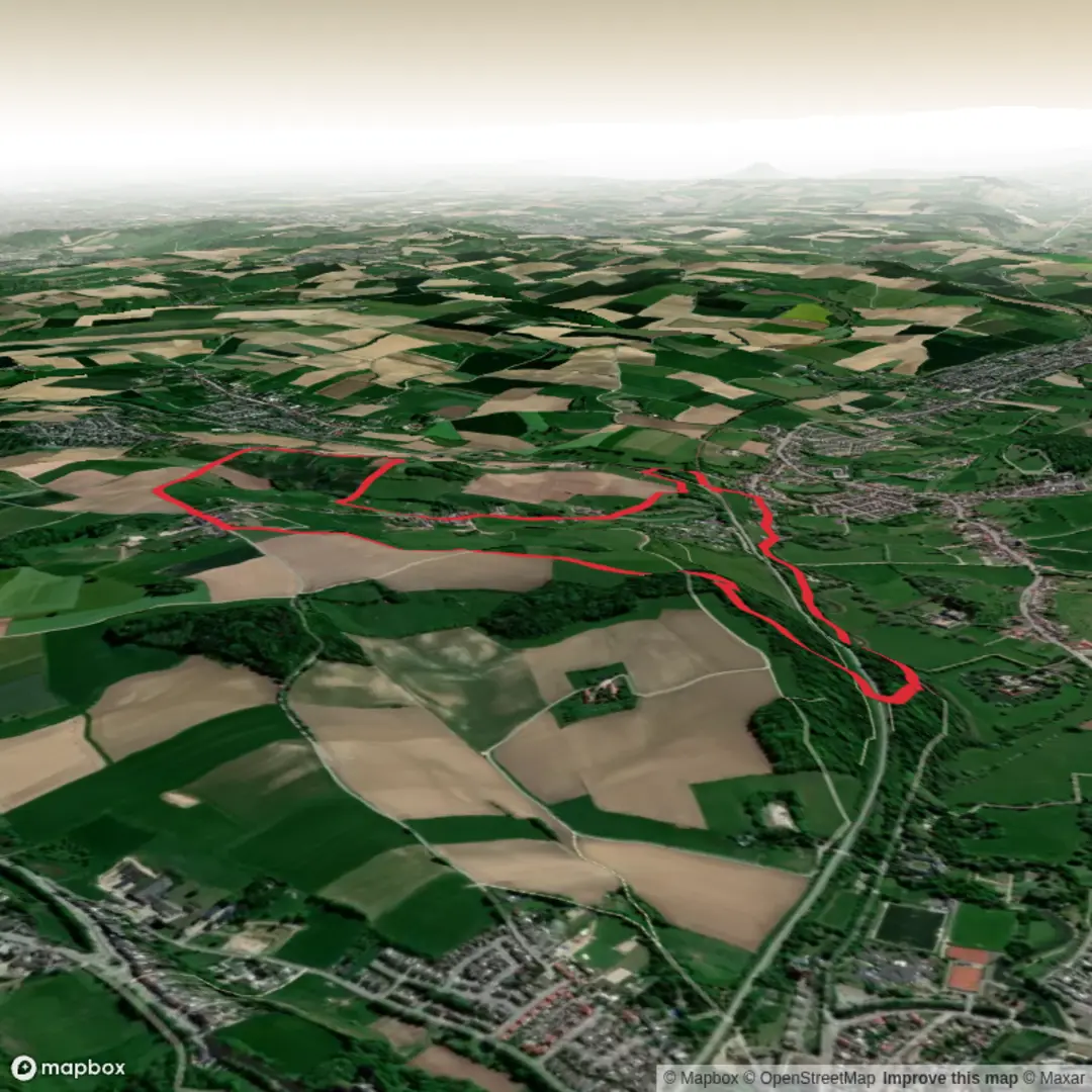
7.3 km
~1 hrs 34 min
67 m
Loop
“Wander through shifting landscapes and centuries-old echoes on this vibrant Dutch loop of nature and history.”
The Oosterveelpad and Walermerkvoetpad Loop is a scenic hiking trail located in the Netherlands, offering a journey through diverse landscapes and rich history. This approximately 7-kilometer (4.3-mile) loop features an elevation gain of around 100 meters (328 feet), making it an accessible route for hikers of varying skill levels.
Trailhead Location and Access
The trailhead is situated near the town of Bergen op Zoom, a historic city in the province of North Brabant. For those traveling by car, parking is available in the vicinity of the starting point. If you're using public transportation, Bergen op Zoom is well-connected by train; from the train station, local buses or taxis can take you closer to the trailhead.
Trail Overview
Embarking on the Oosterveelpad and Walermerkvoetpad Loop, hikers will traverse a variety of terrains, including dense forests, open heathlands, and serene wetlands. The well-marked path ensures a straightforward navigation experience. For detailed maps and route guidance, the HiiKER app is a valuable resource.
Natural Highlights
As you progress along the trail, you'll encounter the unique ecological gradient of the Brabantse Wal, where sandy soils transition into peat and clay. This area is home to a diverse array of flora and fauna. Birdwatchers may spot species such as the European green woodpecker and the nightjar. The heathlands are also inhabited by various reptiles and insects, including the rare heathland blue butterfly.
Historical Significance
The region is steeped in history, with the trail passing close to several sites of interest. Near the town of Steenbergen, approximately 20 kilometers (12 miles) from the start, you'll find fortifications and remnants from the Eighty Years' War. Further along, the trail skirts the impressive estate of Mattemburgh, showcasing a well-preserved 19th-century manor house and landscaped gardens.
Preparation and Considerations
Given the trail's moderate length and gentle elevation gain, it's suitable for hikers of all skill levels. It's advisable to carry sufficient water and snacks, as there are stretches without amenities. For overnight stays, various accommodations are available along the route, including bed and breakfasts, campsites, and hotels.
Seasonal Variations
The trail offers distinct experiences throughout the year. Spring brings blossoming flora and active wildlife, summer provides long, warm days perfect for leisurely walks, autumn features a stunning display of fall colors, and winter presents a quiet, stark landscape often dusted with snow.
Getting There
To reach the trailhead, travelers can take a train to Bergen op Zoom and then use local buses or taxis to get closer to the starting point. For those driving, parking facilities are available near the trailhead.
Embarking on the Oosterveelpad and Walermerkvoetpad Loop offers a harmonious blend of natural beauty and historical exploration, making it a rewarding experience for any hiker.

Surfaces
Asphalt
Unknown
Gravel
Unpaved
Dirt
Grass
Sand
Concrete
Paved
Comments and Reviews
User comments, reviews and discussions about the Oosterveelpad and Walermerkvoetpad Loop, Netherlands.
average rating out of 5
0 rating(s)