Download
3D Flyover
Add to list
More
14.4 km
~2 hrs 52 min
0 m
Point-to-Point
“Embark on a breezy journey where dunes, wildlife, and Dutch water heritage paint a vibrant landscape tapestry.”
Starting from the windswept dunes of Noorderstrand, just north of the Scheveningen Pier in The Hague, this 14 km (about 8.7 miles) route offers a flat, easy-going journey through some of the Netherlands’ most iconic coastal and polder landscapes. With virtually no elevation gain, it’s accessible for all levels and ideal for those seeking a leisurely day out immersed in nature.
Getting There
To reach the trailhead, head to Scheveningen, easily accessible by tram from The Hague Central Station (tram lines 1 or 9). If arriving by car, parking is available at the Scheveningen Strand car parks, a short walk from the starting point at Noorderstrand.
Dunes, Beaches, and Coastal Wildlife
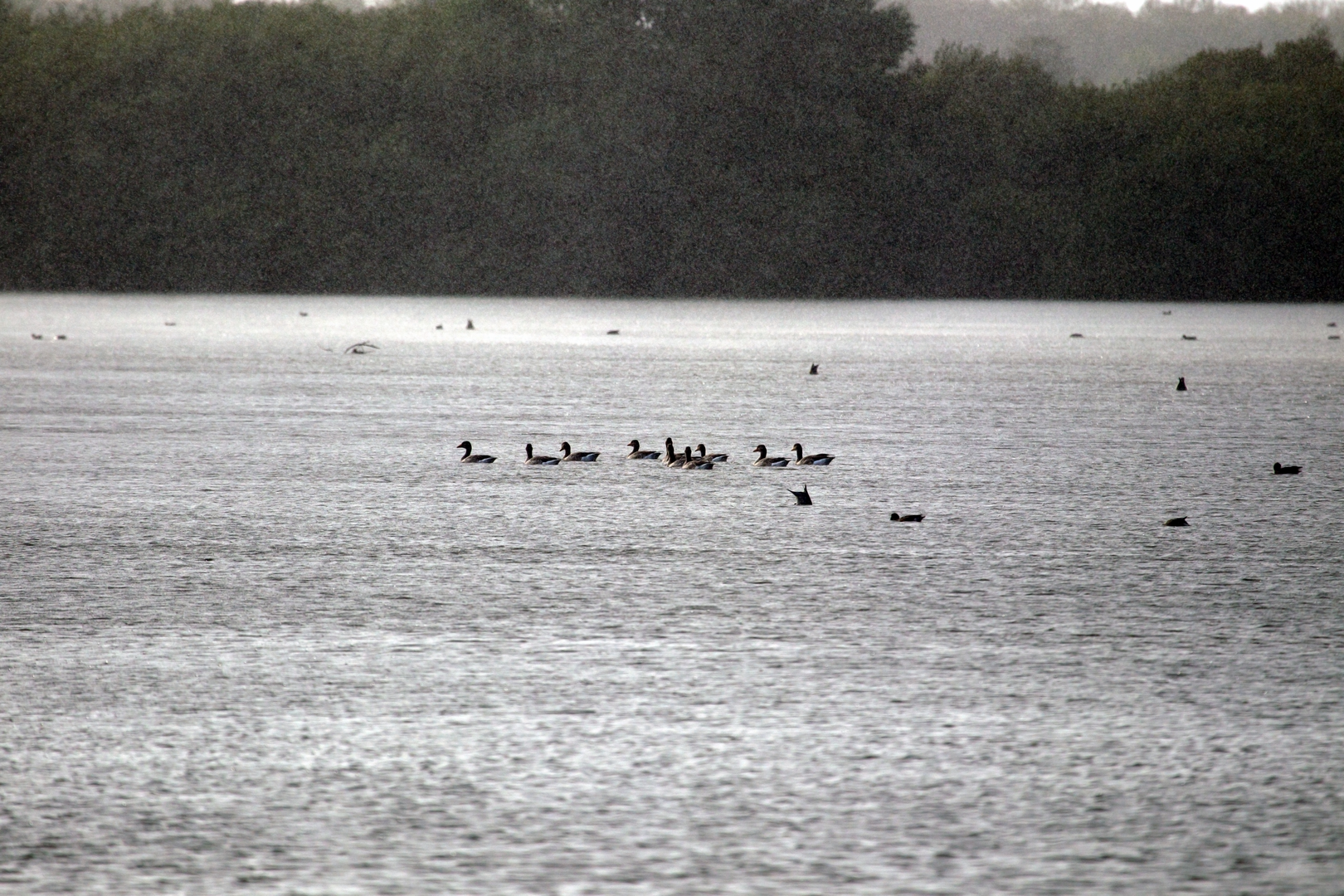
The hike begins along the broad, sandy expanse of Noorderstrand, where the North Sea’s salty breeze and the rhythmic sound of waves set the tone. Early on, look for seabirds such as gulls and terns, and in spring or autumn, migratory birds resting along the shoreline. The dunes here are protected, home to hardy grasses and wildflowers that stabilize the sand and provide habitat for rabbits and foxes.
Transition to Waterstaatpad: Polders and Canals
After about 3 km (1.9 miles), the route veers inland, joining the Waterstaatpad. This section traces the edge of the Meijendel nature reserve, a vast dune area with freshwater lakes and dense thickets. The Waterstaatpad itself is named for the Dutch tradition of water management—expect to see historic sluices, pumping stations, and canals that have kept the lowlands dry for centuries. Interpretive signs along the way explain the region’s centuries-old battle with the sea.
Ree Weg and Rural Tranquility
At approximately 8 km (5 miles), the trail merges onto Ree Weg, a quiet country lane flanked by meadows and grazing sheep. This is classic Dutch polder country: flat, open, and crisscrossed by drainage ditches. In spring, the fields burst with wildflowers and the air is alive with the calls of lapwings and skylarks. Keep an eye out for traditional windmills in the distance, reminders of the area’s agricultural heritage.
Final Stretch to Zuiveringsinst
The last 3 km (1.9 miles) approach the Zuiveringsinstallatie (water purification plant) near the village of Wassenaar. This modern facility is a testament to the Netherlands’ ongoing commitment to water management. The surrounding area is peaceful, with wooded patches and the occasional roe deer darting across the path.
Navigation and Planning
The entire route is well-marked, but for precise navigation and up-to-date trail conditions, use HiiKER. The app provides detailed maps and waypoints, ensuring you stay on track through the dunes, polders, and rural lanes.
Historical Significance
This region has been shaped by centuries of Dutch ingenuity in water management. The Waterstaatpad highlights the engineering feats that have protected the land from flooding, while the surrounding polders are a living example of reclaimed land—once marshes and sea, now fertile farmland. The proximity to Scheveningen also connects the route to the area’s fishing and seaside resort history, making this hike a blend of natural beauty and cultural heritage.

Surfaces
Unknown
Sand
Asphalt
Grass
Comments and Reviews
User comments, reviews and discussions about the Noorderstrand to Zuiveringsinst via Waterstaatpad and Ree Weg, Netherlands.
average rating out of 5
0 rating(s)