Download
3D Flyover
Add to list
More
20.7 km
~4 hrs 13 min
47 m
Loop
“Winding through dunes, lakes, and woodland, this scenic loop reveals North Holland’s wild, colorful heart.”
Starting from the edge of the Kennemerduinen National Park, this 21 km (13 miles) loop hike offers a gentle, flat journey through some of the most scenic and ecologically rich landscapes in North Holland. The trailhead is conveniently located near the Oosterplas recreational lake, just outside Overveen, and is easily accessible by public transport—take the train to Overveen station, then walk or cycle about 2 km (1.2 miles) west to the park entrance. For those arriving by car, parking is available at the Duin en Kruidberg or Koevlak entrances, both well-signposted from the N200.
Route Overview and Navigation
The route follows well-maintained sandy and forested paths, with no significant elevation gain, making it suitable for hikers of all abilities. The entire loop can be navigated using the HiiKER app, which provides up-to-date trail maps and waypoints. The trail meanders through a mosaic of dune landscapes, freshwater lakes, and coastal woodlands, offering a unique blend of habitats rarely found so close to the urban centers of Haarlem and Amsterdam.
Key Sections and Landmarks
Oosterplas and t Wed Lakes
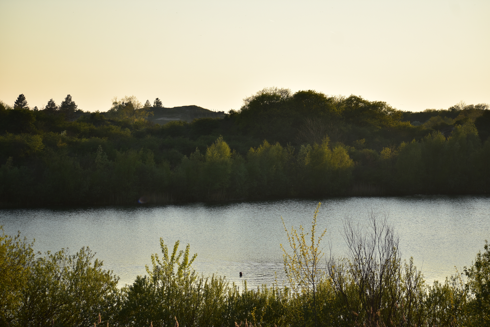
Within the first 3 km (1.8 miles), you’ll reach Oosterplas, a popular swimming and picnic spot surrounded by pine and oak woods. The clear waters and sandy shores are ideal for a break, especially in summer. Continuing west, the trail skirts the tranquil t Wed lake at around 6 km (3.7 miles), another favorite for birdwatchers—look for grebes, herons, and the occasional kingfisher along the reed-lined banks.
Dune Landscapes and Wildlife
Between 7 and 14 km (4.3–8.7 miles), the path traverses open dune fields and dense thickets of sea buckthorn and hawthorn. This section is particularly rich in wildlife: red deer, Scottish Highland cattle, and Konik horses graze freely, and foxes are sometimes spotted at dawn or dusk. The dunes are also home to rare butterflies and sand lizards, especially in the warmer months.
Bloemendaal aan Zee and Coastal Views
At approximately 15 km (9.3 miles), the trail reaches Bloemendaal aan Zee, a lively North Sea beach resort. Here, you can pause at one of the beachfront cafés or simply enjoy the sweeping views of the coastline. The wide sandy beach is perfect for a barefoot stroll or a quick dip before heading back inland.
Historical and Cultural Highlights
The region’s history is woven into the landscape. The Konings Weg (King’s Way), which forms part of your route, was once a strategic path used by royalty and nobility traveling between Haarlem and the coast. Remnants of WWII bunkers are hidden among the dunes, silent witnesses to the area’s wartime past. The nearby Duin en Kruidberg estate, visible from the trail, dates back to the 17th century and is now a luxury hotel surrounded by formal gardens.
Practical Tips
There are several water refill points and restrooms at Oosterplas, t Wed, and Bloemendaal aan Zee. Dogs are allowed on most sections but must be leashed in nature reserves. The sandy paths can be soft in places, so sturdy footwear is recommended. Weather can change quickly near the coast—bring a windproof jacket even in summer.
For navigation, download the full route on HiiKER before setting out, as mobile signal can be patchy in the dunes. The trail is well-marked, but having a digital map ensures you won’t miss any of the highlights along the way.

Surfaces
Unknown
Sand
Unpaved
Gravel
Ground
Asphalt
Paved
Dirt
Concrete
Comments and Reviews
User comments, reviews and discussions about the Oosterplas, t Wed and Bloemendaal aan Zee via Konings Weg, Netherlands.
average rating out of 5
0 rating(s)