Grijze Berg, Kromme Elboog and Rozendaalsche Veld via Tunnekes Weg and Konongs Weg
Download
3D Flyover
Add to list
More
14.7 km
~3 hrs 3 min
72 m
Loop
“Wander through blooming heath, ancient woodlands, and castle views on a tranquil, ever-changing circuit near Rozendaal.”
Starting from the outskirts of Velp, just north of Arnhem, the trailhead for this 15 km (about 9.3 miles) loop is easily accessed near the Rozendaalse Bos, close to the well-known Rozendaal Castle. Public transport users can take a train to Velp station, then walk or take a local bus to the Rozendaal area. For those arriving by car, parking is available near the castle or at the Rozendaalse Bos car park.
Initial Woodland Ascent and Grijze Berg
The route begins with a gentle ascent through mixed deciduous woodland, gaining approximately 100 metres (328 feet) in elevation over the course of the hike. Early on, the path follows Tunnekes Weg, a forest track lined with beech and oak, where the undergrowth is rich with ferns and wildflowers in spring and summer. After about 2 km (1.2 miles), the trail reaches Grijze Berg, a modest hill offering panoramic views over the Veluwezoom National Park. This area is known for its heathland, which blooms purple in late summer, and is a good spot to observe roe deer and, occasionally, wild boar.
Kromme Elboog and Rozendaalsche Veld
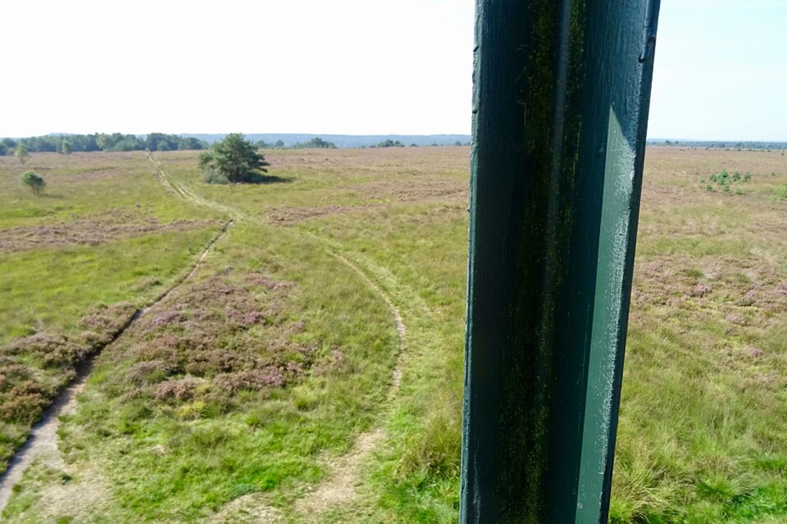
Continuing along the Kromme Elboog, the trail meanders through open heath and sandy soil, characteristic of the Rozendaalsche Veld. This section, roughly 6 km (3.7 miles) into the hike, is notable for its tranquility and wide vistas. The Rozendaalsche Veld is a protected nature reserve, home to skylarks, buzzards, and a variety of butterflies. The sandy paths can be exposed, so sun protection is recommended on clear days.
Historical and Natural Highlights
The region is steeped in history, with Rozendaal Castle dating back to the 14th century and visible from several points along the route. The castle’s grounds, with their famous water features and landscaped gardens, are worth a visit before or after the hike. The area was historically used for sheep grazing, which helped shape the open heathland landscape seen today.
Tunnekes Weg and Konongs Weg Return
The return leg follows Konongs Weg, a gently undulating track through pine and birch woodland. This section, about 12 km (7.5 miles) into the hike, is especially peaceful, with mossy forest floors and occasional glimpses of red squirrels. The final stretch leads back toward Rozendaal, passing small streams and, in autumn, a variety of mushrooms.
Navigation and Preparation
The entire route is well-marked, but carrying a digital map on HiiKER is recommended for real-time navigation and to explore optional side trails. The terrain is mostly easy, with well-maintained paths and only minor elevation changes, making it suitable for most fitness levels. Sturdy walking shoes are advisable, especially after rain when some sections can be muddy. There are limited facilities along the route, so bring sufficient water and snacks. Restrooms and refreshments can be found in Rozendaal village at the start and end of the hike.

Surfaces
Unknown
Ground
Sand
Gravel
Unpaved
Asphalt
Comments and Reviews
User comments, reviews and discussions about the Grijze Berg, Kromme Elboog and Rozendaalsche Veld via Tunnekes Weg and Konongs Weg, Netherlands.
average rating out of 5
0 rating(s)